Camping Guide: The Cleveland National Forest
One of the largest public lands in Southern California, the Cleveland National Forest is perfect for camping among mountains, high deserts, forests, and beautiful valleys.
In this Guide:
About
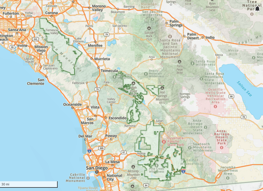
The Cleveland National Forest is part of the Peninsular Mountain Range and is comprised of several distinct and separate areas including the Laguna Mountains, Palomar Mountains, and the Santa Ana Mountains. From deserts to high-alpine forests, the Cleveland National Forest is a unique smattering of landscapes and ecosystems from coastal canyons, to high deserts and alpine forests. It covers over 460,000 acres and offers plenty of opportunities for camping, hiking, horse riding, biking, and other outdoor recreation.
This national forest is divided into three ranger districts, including the Descanso Ranger District, the Palomar Ranger District, and the Trabuco Ranger District. This is important because depending on where you wish to camp, the ranger district may have different rules and processes.
Curious about National Forests in general? Read about How To Camp in National Forests.
Details For Visiting
How To Get There
To the Laguna Mountains (Descanso Ranger District)
The Laguna Mountains are one of the most popular areas to access the Cleveland National Forest with campgrounds, the famous PCT trail, a visitors center with activities, and a few small restaurants, supply stores, and lodging options. Google Maps for Mount Laguna.
To the Santa Ana Mountains (Trabuco Ranger District)
Northwest of Temecula is the Santa Ana Mountains, which is the northernmost area managed by the Cleveland National Forest. Google Maps for Santa Ana Mountains.
To the Palomar Mountains (Palomar Ranger District)
These mountains collect lots of coastal fog which has created a relatively lush and green environment compared to the more common chaparral landscapes. Popular for its hiking, camping, and an observatory. Google Maps for Palomar Mountains.
When To Visit
Spring is a great time to visit due to the cooler and wetter temperatures, although cold snaps and snow still can occur. Campgrounds are closed until late spring, but backcountry is allowed year-round. With the spring rain you are also more likely to encounter rock mud slides on the trails and roads, so please take extra precaution during this time.
Summer is great for camping and can be an escape from the urban heat, but even these mountains can face extreme heat spikes during summer. This is particularly true in the chaparral and desert areas where it is recommended you restrict hiking to early morning hours, or just avoid it until cooler seasons. Please do not underestimate the risk from the heat and be safe.
Fall is the ideal time to visit and camp among beautiful foliage, with warm days and cooler nights. The campgrounds begin to close in the fall so don’t book them too late, but overnight backcountry camping is still allowed year-round.
Winter brings rain and snow (yes, in SoCal) to the Cleveland National Forest. The Laguna Mountains typically receive the most snow during winter, and can be very popular for sledding and snowshoeing. If the conditions are right, you can even attempt the ski-and-surf in a day combo.
Points Of Interest
Pacific Crest Trail: The Laguna Mountains include some of the first stretches of the famed PCT trail. You’ll often find “Trail Angels” in the early season handing out goodies to thru-hikers.
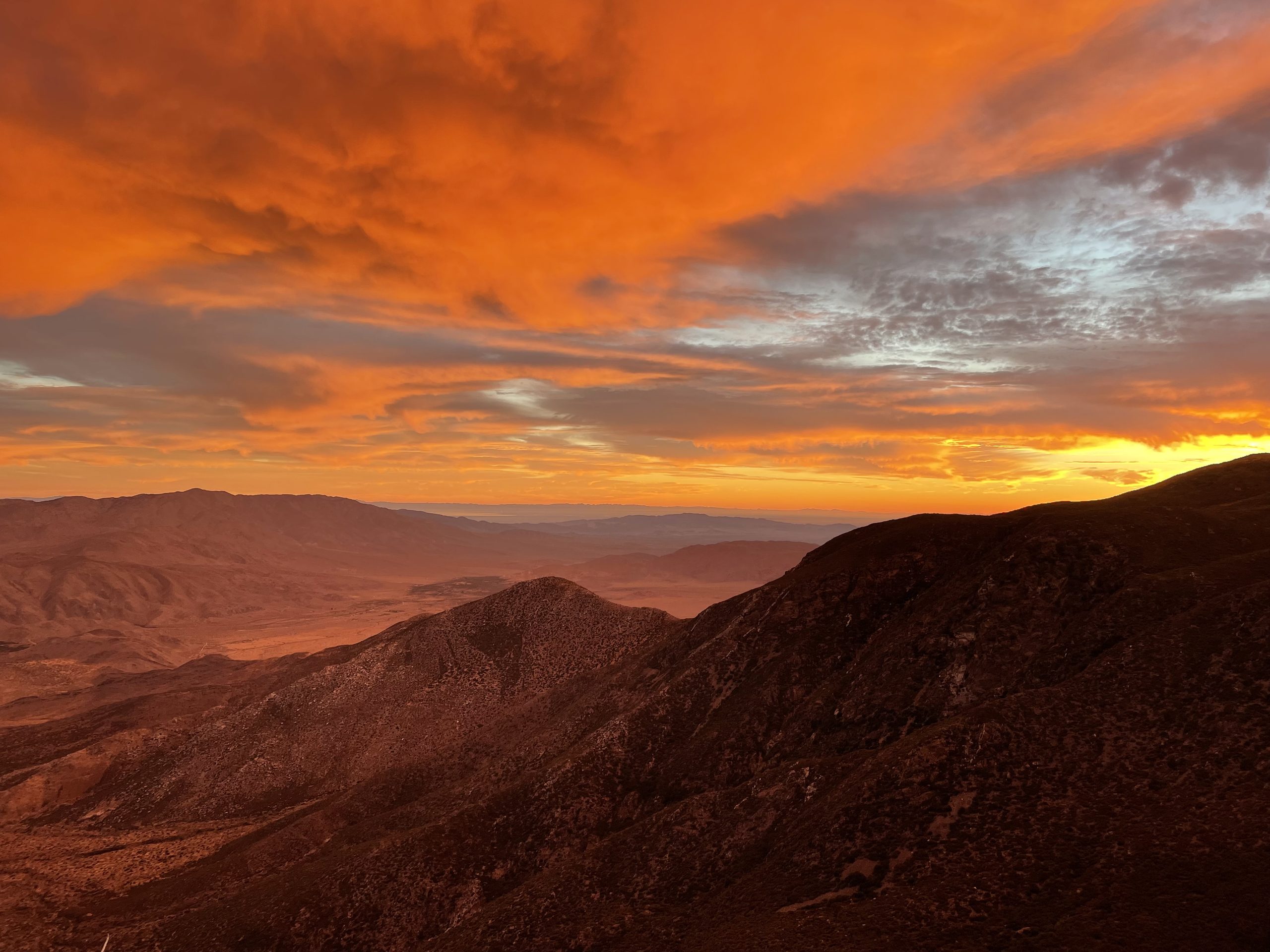
The Sunrise Highway: A scenic road that runs through the Laguna Mountains, passing through Laguna Village where you can get a bite to eat and re-supply. Several scenic vistas are along the road, giving you epic, sweeping views of the deserts that drop down from the mountains, like Kwaaymii Point.
Camping Etiquette
Regardless where you camp on our public lands, it’s important to learn, practice, and share proper camping etiquette. Some key things to know and practice include:
- Understand the Leave No Trace principles.
- Do not ever feed, approach, or disturb any wildlife.
- Be respectful to other campers (noise, lights, space).
- Unless you have access to trash facilities, please pack everything out.
- Leave the place better than you found it.
Please read our more detailed article on Camping Etiquette For Beginners.
Types Of Camping Allowed
Car camping: Driving up to a camping area and packing your gear in a car. This can be at a developed campground, primitive campground, or on your own as dispersed camping. Ultimately, anywhere you camp with your car is “car camping.” For a full guide on car camping, read our Car Camping Basics article.
Backpacking: Where you travel only by foot and carry all your gear, food, and supplies in a backpack. You could backpack to a dispersed camping area, developed campground, or primitive campground. For a full guide on backpacking, read our Backpacking Basics article.
Where You Can Camp In The Cleveland National Forest
Developed Campgrounds:
A “developed campground” comes with basic amenities and facilities, usually including fire rings, vault toilets (no water or flushing), tent platforms, potable water spigots, firewood for sale, and picnic tables. Oftentimes a campground host will be present to answer questions and collect fees.
Number of developed campgrounds:
- 9 developed campgrounds are available in the Cleveland National Forest across the three Ranger Districts (Descanso, Palomar, Trabuco), with an additional 16 group campgrounds available.
- For a full list of campgrounds and their current status from the USFS, check here, and filter for “campground.”
General rules:
- Please adhere to the campgrounds’ established rules.
- Please be respectful of other campers and be mindful of your noise (especially music), the brightness of your lights, and the space you occupy.
- Please only bring or buy local firewood, which helps prevent tree-killing pests from damaging the local forests. Visit firewood.ca.gov for more info.
- Please leave the place better than you found it.
Fees:
- Most developed campgrounds charge a fee.
- Fees are listed on the campground homepage or when making reservations online.
Group size:
- Most campgrounds have a limited number of people, tents, and vehicles that can occupy a single campsite.
- This information should be available when making a reservation (see below).
Reservations:
- Go to recreation.gov to make reservations for campgrounds in the Cleveland National Forest.
Permits/passes:
- Most developed campgrounds in National Forests do not require permits or passes beyond your reservation.
- At times, a regional “Adventure Pass” or a national “America the Beautiful” pass may be required.
Campfires:
- Only allowed in designated fire rings established by the campground.
- Depending on the season and conditions, fire bans and restrictions may be in effect, which you can confirm on the alerts page for the forest service (see “Alerts” below).
Water:
- Potable water stations are usually available at developed campgrounds (though not guaranteed). This information should be available when making a reservation.
- However, water availability can change depending on the season, damage, or scheduled maintenance, so please confirm with the campground and bring enough water in separate containers for your trip.
Pets:
- Usually allowed in developed campgrounds given they are kept in your campsite and/or on a leash. Confirm with the campground directly.
Alerts:
- Before any trip, always check the current conditions and alerts for the area.
Additional resources:
- For accurate and up-to-date information, contact one of the ranger offices, or visit the website for the Cleveland National Forest.
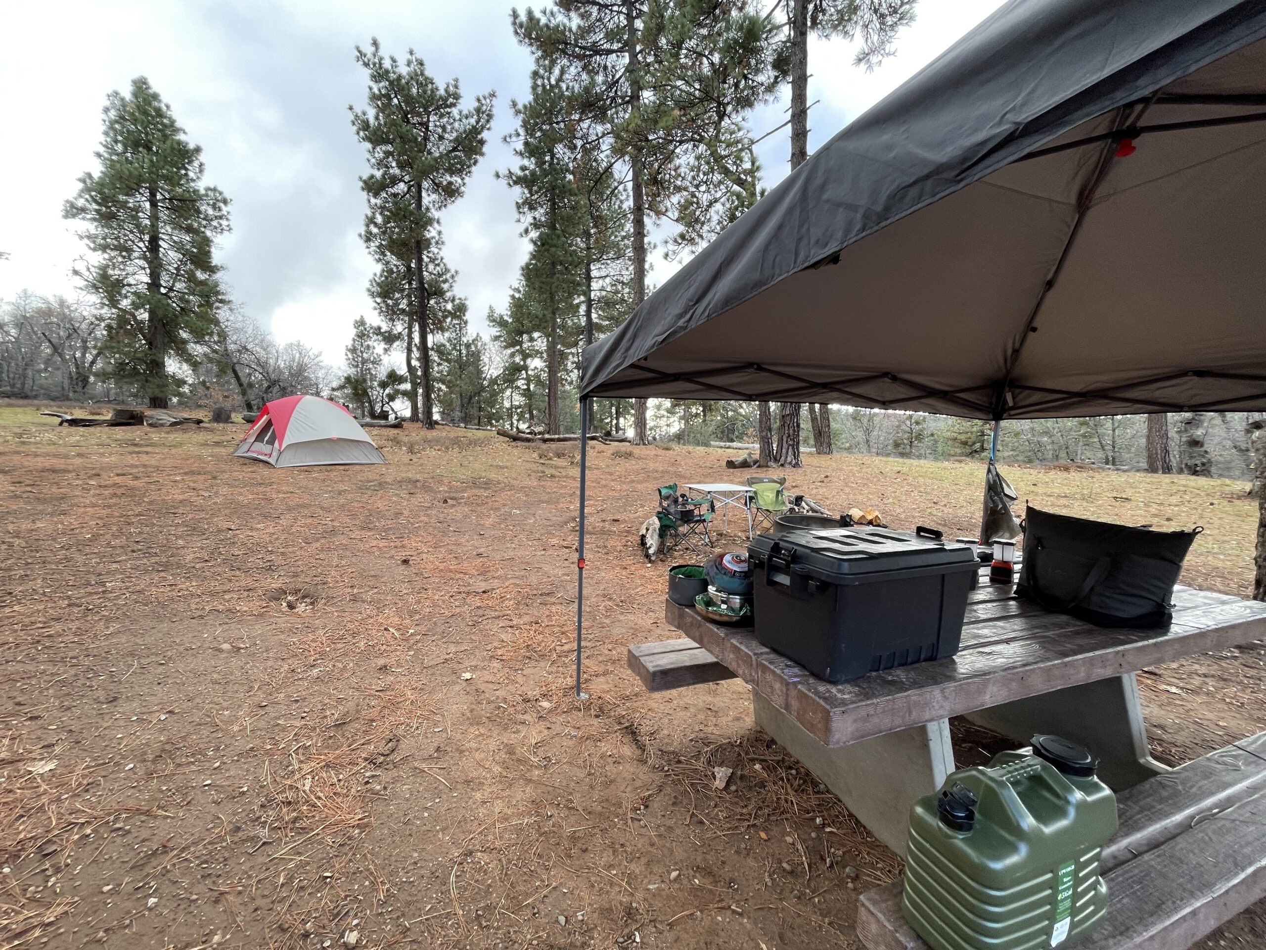
Primitive Campsites:
A “primitive campsite ” is a designated camping area with little to no amenities, are typically first-come first-served, and usually just provide place to set up your tent. You may get lucky with a fire ring, but these campgrounds are mainly to provide safe areas for people to camp in more remote places and to help protect the landscape and wildlife by preventing excessive dispersed camping.
Number of primitive campsites:
- 6 primitive campsites are available in the Cleveland National Forest.
- Click here for a full list of campgrounds and their current status from the USFS, and filter for “camp grounds.”
General rules:
- Please adhere to the campgrounds’ established rules.
- Please be respectful of other campers and be mindful of your noise (especially music), the brightness of your lights, and the space you occupy.
- Please only bring or buy local firewood, which helps prevent tree-killing pests from damaging the local forests. Visit firewood.ca.gov for more info.
- Please leave the place better than you found it.
Fees:
- A nightly fee is usually required at these campgrounds, which is paid at the site (bring cash).
Group size:
- Most campsites have a limited number of people, tents, and vehicles that can occupy a single site.
- This information should be available on the USFS site for the campsite listed (filter for “camping area”).
Reservations:
- First-come, first-served. No reservations available.
Permits/passes:
- Most primitive camping areas in National Forests do not require permits or passes.
- At times, a regional “Adventure Pass” or a national “America the Beautiful” pass may be required.
Campfires:
- This varies depending on the primitive campsite. Some may have fire rings, others will not.
- If local fire restrictions in place, then campfires will not be permitted (camp stoves are allowed).
- A free California Campfire Permit is usually required and highly recommended to have.
Water:
- Potable water stations are typically not available at primitive campsites (though some do).
- This information should be available when making a reservation.
- Even if there are potable water stations, water availability can change depending on the season, damage, or scheduled maintenance, so please confirm with the local ranger district and bring enough water in separate containers for your trip.
Pets:
- Usually allowed in National Forests, provided they are kept in your campsite and/or on a leash.
- Please confirm with the local ranger district directly.
- Please note while some primitive campsite may allow pets, ceretain trails or recreation areas surrounding the campsites could have bans or restrictions for them.
Alerts:
- Before any trip, always check the current conditions and alerts for the area.
Additional resources:
- For accurate and up-to-date information, contact the local Ranger Stations, or visit the USFS site for the Cleveland National Forest.
Dispersed Camping:
Dispersed camping (sometimes called “wild camping” or “backcountry camping”) is any camping on public lands outside of developed areas or campgrounds. This can include car camping, backpacking and solo camping, but it means no facilities, no campground host, and no fire rings. It’s just you and mother nature.
A special note: There are opportunities for dispersed camping in Cleveland National Forest, however this is more for suitable for backpacking rather than car camping, as there are fewer forest service roads.
Where you can dispersed camp:
- Provided there is no signage or current bans stating otherwise, you can dispersed camping virtually anywhere in the Cleveland National Forest.
- Please note this excludes the Mount Laguna Recreation Area.
- For dispersed camping via backpacking you can explore the trails in the Cleveland National Forest.
- For dispersed camping via car camping, find an accessible forest service road from a Motor Vehicle Use map (more detailed links below in maps section).
General rules:
- When dispersed camping, you must camp at least 200 feet away from trails, water sources, meadows, and other campers.
- Use existing camp spots instead of creating new ones.
- Please respect any signs prohibiting camping in specific areas. This is to protect sensitive areas and prevent overuse.
- Check here for the official USFS site for the Cleveland National Forest.
Fees:
- In most cases dispersed camping is free.
- However, popular trails or sensitive areas may have a quota or limit which requires a permit that may cost a nominal fee.
Group size:
- Group size is typically capped at around 25-50 people, but this varies per area or National Forest.
- Usually any group over 50 people requires a special use permit from the National Forest.
Reservations:
- Typically, dispersed camping is first-come, first-served.
- However, popular trails or sensitive areas may have a quota or limit which will require a reservation.
Permits/passes:
- In most cases, dispersed camping does not require permits or passes.
- However, popular trails or sensitive areas may have a quota or limit which requires a permit from recreation.gov, or you may be required to have a regional “Adventure Pass” or national “America the Beautiful” pass.
Campfires:
- This varies depending on the camping area – please confirm.
- If there are fire restrictions in place then campfires will not be permitted (camp stoves are allowed).
- A free California Campfire Permit is usually required and highly recommended to have.
Water:
- Potable water stations are not available when dispersed camping in National Forests.
- You must carry, filter, and treat all of your own water from available sources.
Pets:
- Usually allowed in National Forests, provided they are kept in your campsite and/or on a leash.
- Please confirm with the local ranger district directly.
- Please note while some primitive campsite may allow pets, ceretain trails or recreation areas surrounding the campsites could have bans or restrictions for them.
Cutting trails/switchbacks:
- Making shortcuts on trails is prohibited. Going off trail causes severe and lasting damage including erosion, habitat destruction, increased flood risks, increased safety risks for people, and costly maintenance.
Alerts:
- Before any trip, always check the current conditions and alerts for the area.
Additional resources:
- For accurate and up-to-date information, contact the local Ranger Stations, or visit the USFS site for the Cleveland National Forest.
More Camping In The Cleveland National Forest
The Cleveland National Forest contains several Wilderness Areas and other sub-designations that allow for camping and outdoor recreation. This includes:
- Laguna Mountain Recreation Area
- Pine Creek Wilderness
- Hauser Wilderness
- San Mateo Canyon Wilderness
- Agua Tibia Wilderness
For more information on how to camp in Wilderness Areas, read “How To Camp In Wilderness Areas.”
Maps And Navigation
Physical Maps:
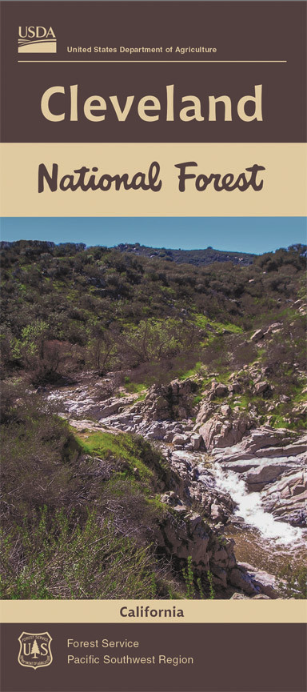
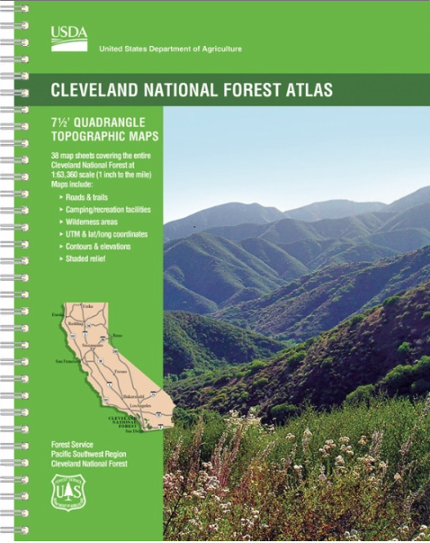
Always carry a physical/topographical map of the area issued from the managing agency or a reputable service, along with a compass. Here are some suggested physical maps for the Cleveland National Forest:
Digital Maps:
It’s recommended to use digital apps or tools include government-issued topographical layers such as from the USFS and USGS to ensure accurate information. Here are some suggested digital maps and tools for the Cleveland National Forest:
- Gaia GPS – Cleveland National Forest
- Interactive Map from the US Geological Survey
- USFS – Cleveland National Forest Digital Map
- USFS – Cleveland National Forest Digital Interactive Map (shown below)
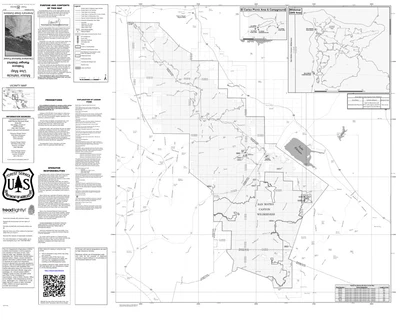
Motor Vehicle Use Maps:
These are available for digital download, or you can typically grab a physical copy at a local Ranger Station.
Safety Tips For Navigation:
It is great to see apps encouraging outdoor exploration, but please be cautious (or avoid) using crowd-sourced hiking and camping apps. They often lead to trails and routes that do not exist, cut through sensitive habitat, or lead to off-limit and dangerous areas. This puts wildlife, ecosystems, hikers, and rescue teams at risk.
Instead, use maps and information that are sourced directly from the managing agency of the area. If you need help, just contact the local ranger district and they will be happy to provide resources.
How To Plan A Trip Here (Quick Review)
- Confirm your goals for the trip:
- How many nights?
- How many people?
- How many miles?
- What time of year?
- Specific destination or activities (get to a lake? fishing? summit a peak?)
- Use local maps and navigational resources:
- See the “Maps and Navigation” section above to do your research.
- Choose what type of camping:
- Backpacking
- Car camping
- Choose where you’ll camp:
- Developed campground
- Primitive campsite
- Dispersed camping
- Depending on the type of camping and where, determine the following logistical details:
- Getting there: Find out what roads you can take (main, or forest service roads), the trailhead location, and parking availability.
- How you’ll secure your campsite: Do you need reservations, permits, or passes. See the above section, “Where you can camp,” for additional details.
- Distance: What is the driving distance, or hiking distance (or both).
- Trail/route details: What type of trail (out and back, loop, point-to-point), total elevation gain.
- Terrain: Is the area forested, above tree line, are there water crossings, exposed areas, rough roads that require AWD.
- Water sources: Are there reliable fresh water sources along your trail and near your chosen camping spot.
- Backups: Consider having one or two backup routes or trails in mind.
- Know the local rules:
- See the above section, “Where you can camp,” for additional details on group size, fire restrictions, pets, and other local rules.
- Contact the local Cleveland Ranger Stations or visit the USFS site for current conditions and alerts for your chosen route:
- Road conditions: Oftentimes roads can be closed due to damage, snow, and repairs. Confirm before you leave for your trip, and have alternative routes in mind.
- Trail conditions: Trails may be closed for maintenance, wildfire or flood damage. This may affect your trip if you plan to go on day-hikes or adventures, or if you are backpacking.
- Local weather: Mountain and wilderness weather is very local, changing dramatically within just a few miles. Always check weather for your exact dates, I recommend the National Weather Service.
- Water sources: As stated earlier, you should confirm for water sources and their availability/reliability with a Ranger.
- Wildfires: This should never be overlooked. Make sure you have a safe evacuation route, and are up-to-date on current fires and areas of risk. Use the “Active Wildfire Map” from American Forests.
- Other: There’s a lot that can happen – bear encounters, flash floods, hail storms, avalanches, rock slides. When in doubt, just call the local ranger district for information.
- Enjoy the trip – the rest is up to you!
- Now that you’ve planned out your trip, the rest is up to you for packing, preparing supplies, and making it all come together.
- Check out other camping resources to help you with your trip, including “Camping Gear For Beginners” and “An Intro To Public Lands.”
The Natural World
Fauna
With such a range of ecosystems, you won’t be surprised to witness some incredible wildlife in the Cleveland National Forest.
Keep your distance from wildlife at all times, and never feed or disturb them under any circumstance.
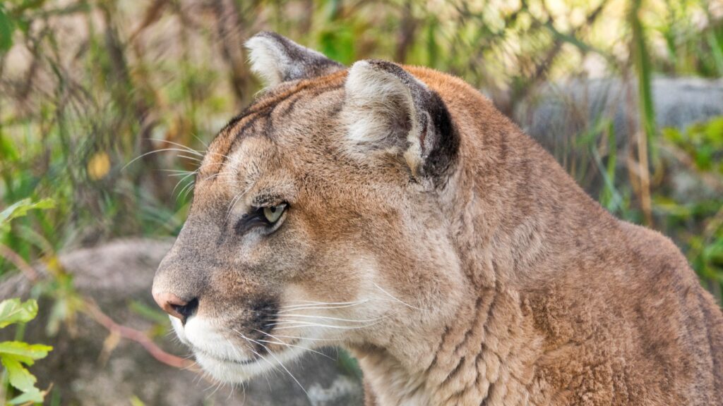
Mountain Lion
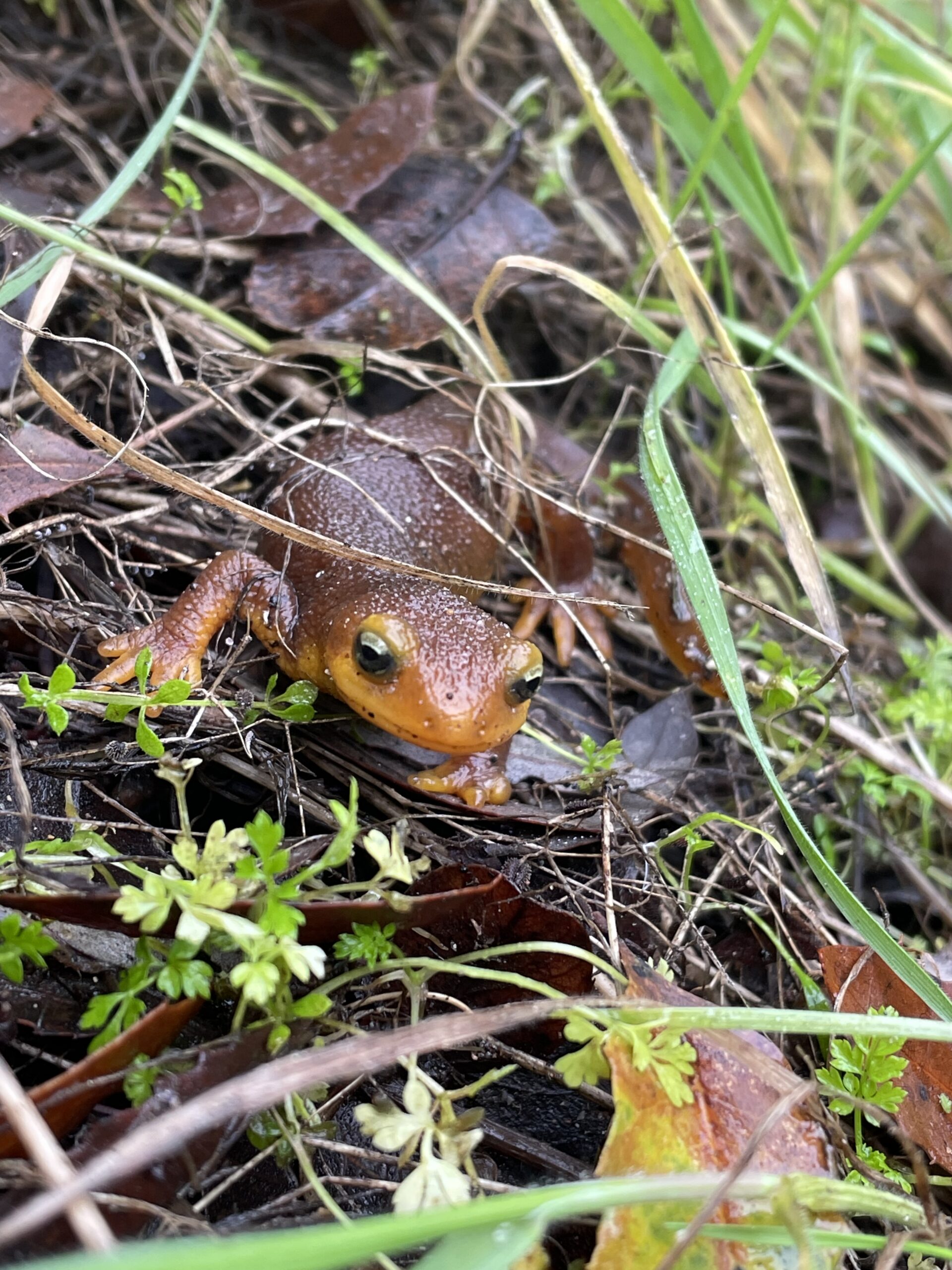
Coast Range Newt
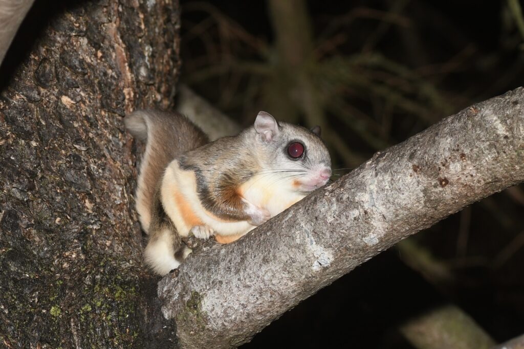
Northern Flying Squirrel
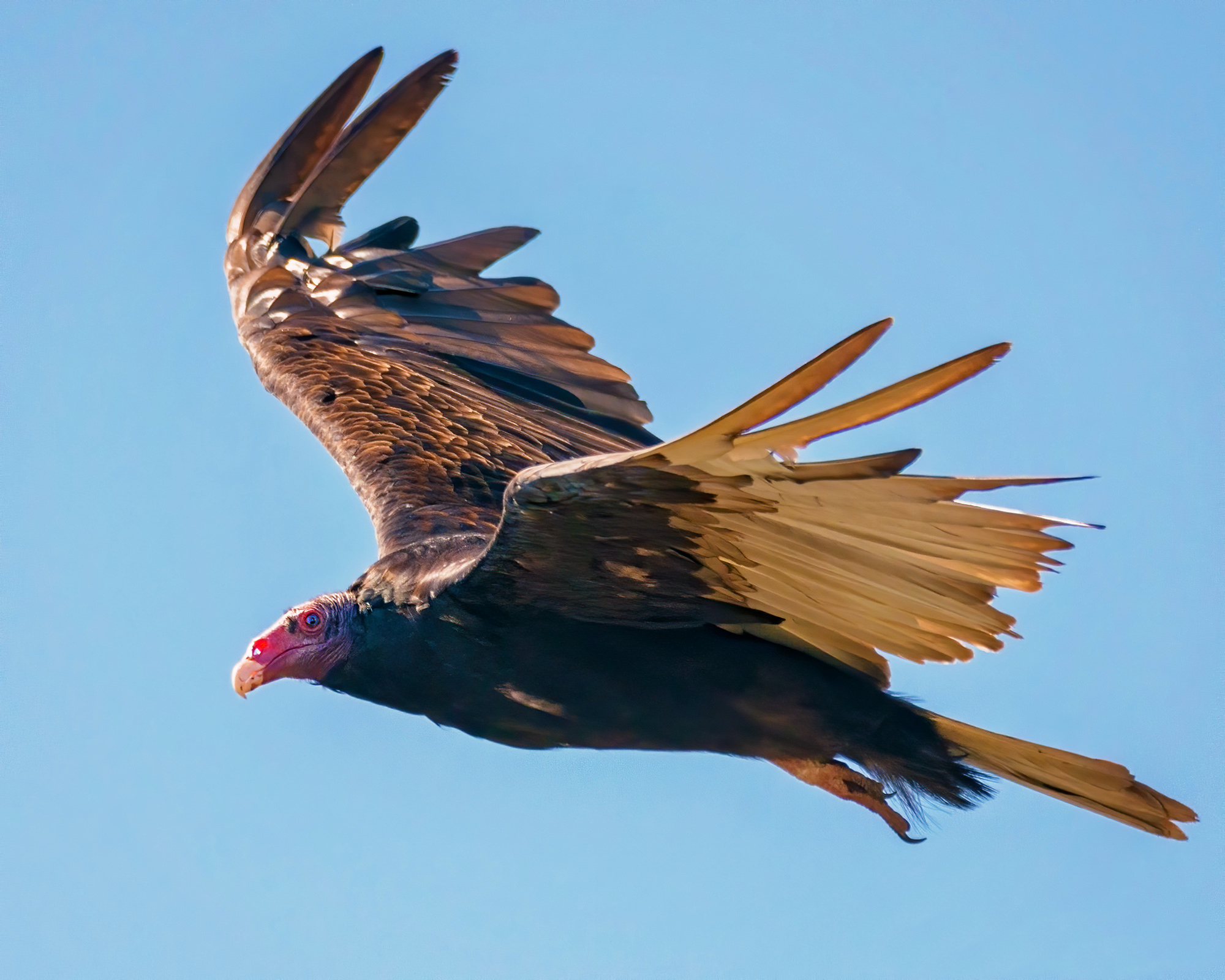
Turkey Vulture
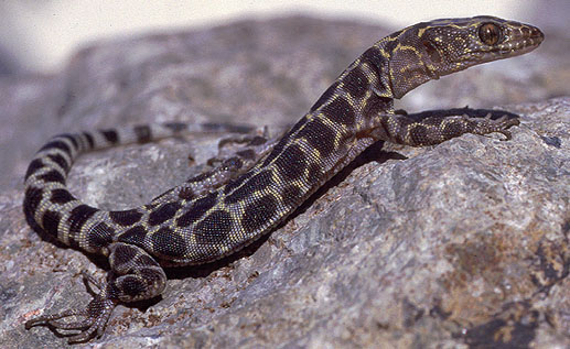
Granite Night
Lizard
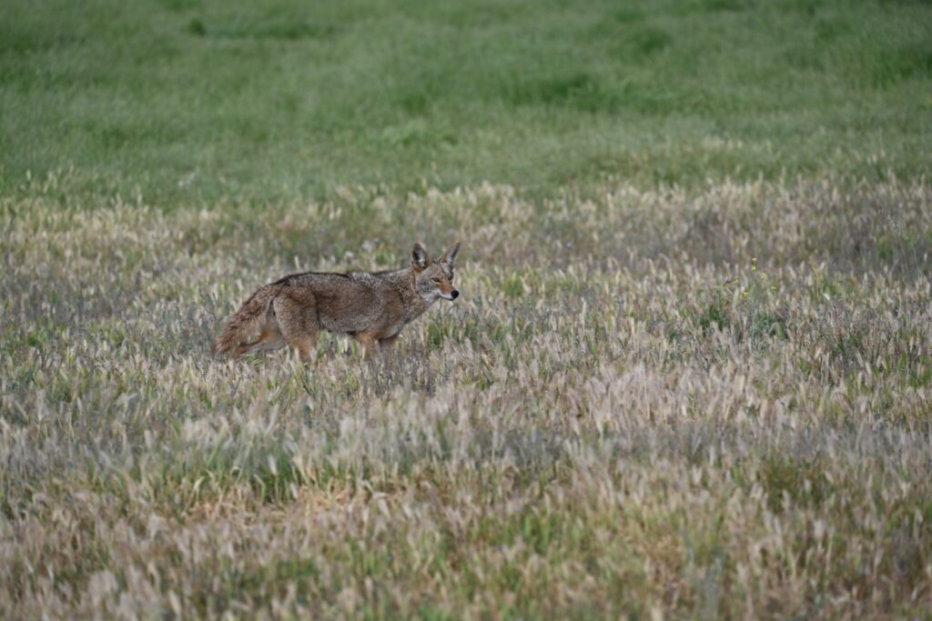
Coyote
Flora
The diverse ecosystems that make up the Cleveland National Forest are demonstrated through it’s enormous variety of beautiful, and sometimes dangerous, flora.
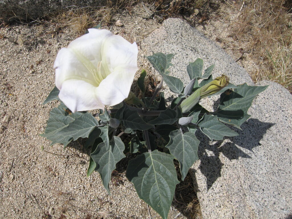
Sacred Datura Flower
Highly poisonous!
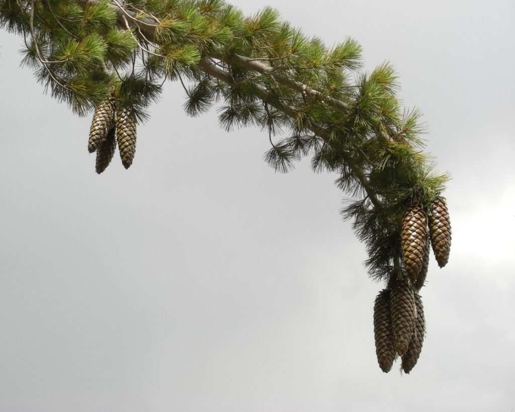
Sugar Pines
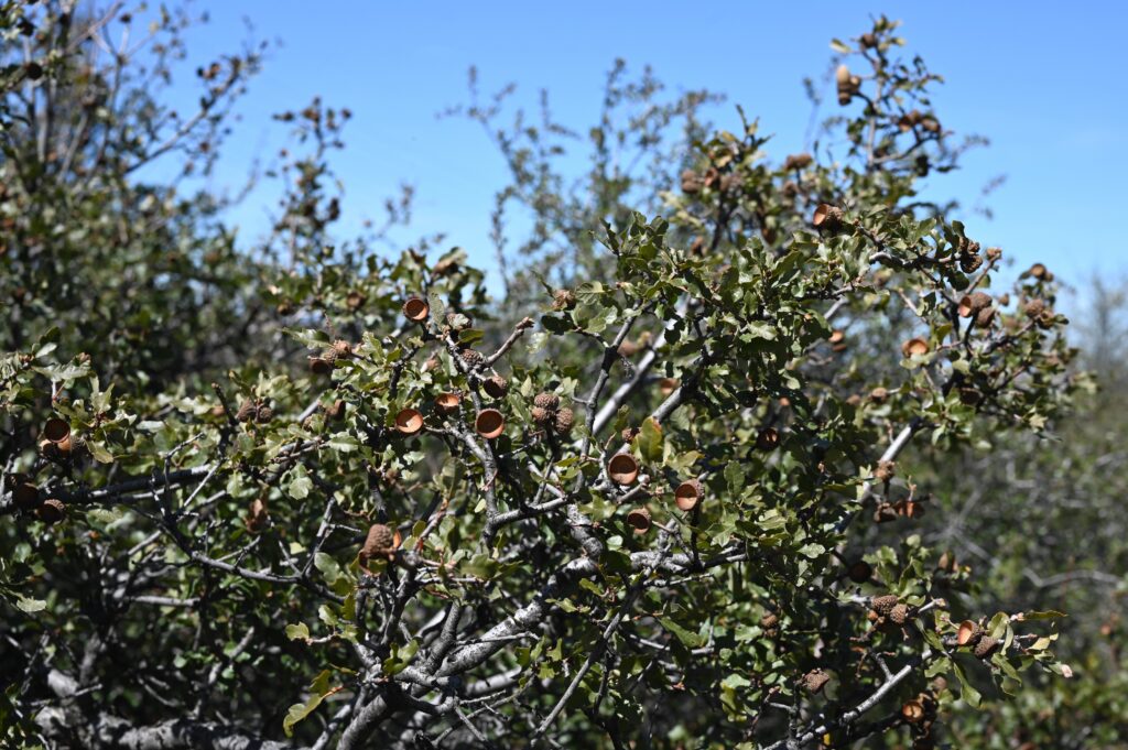
California Scrub Oak
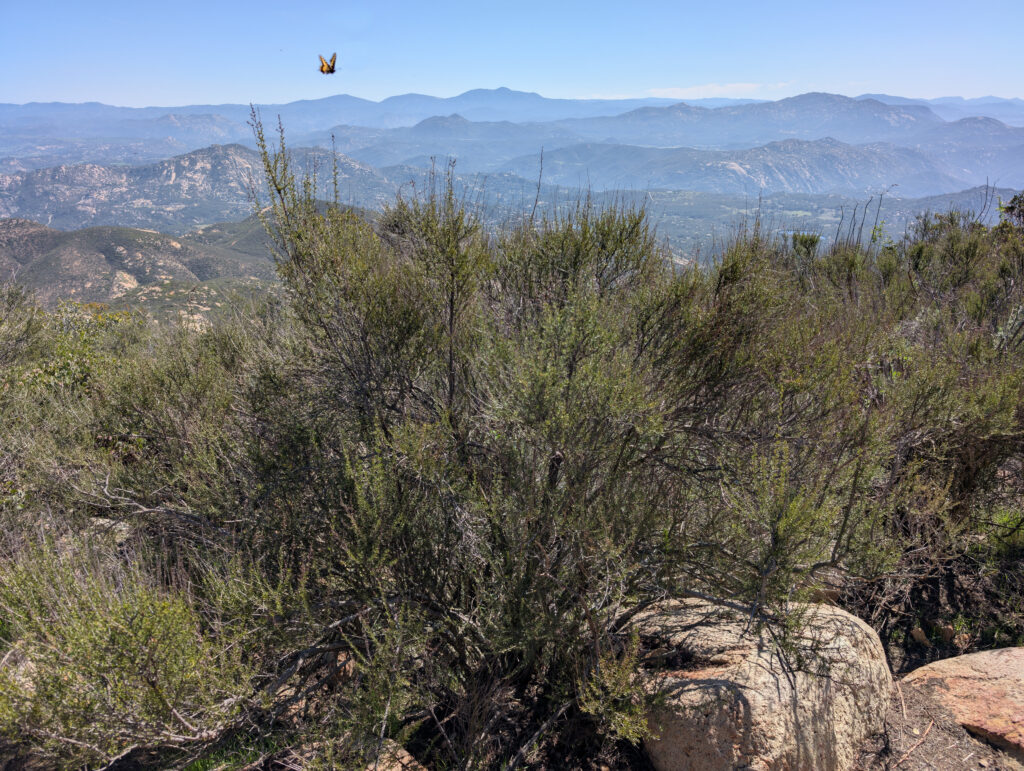
Chamise
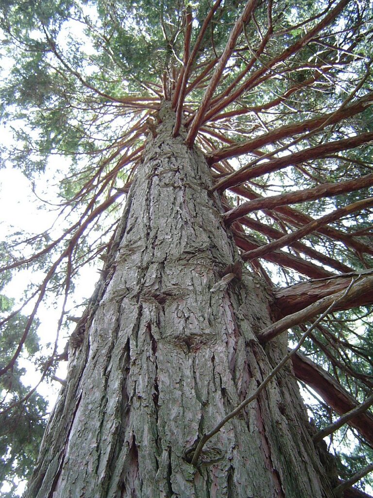
Incense Cedar
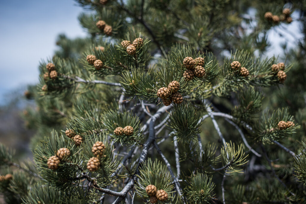
Pinyon Pine
Geology
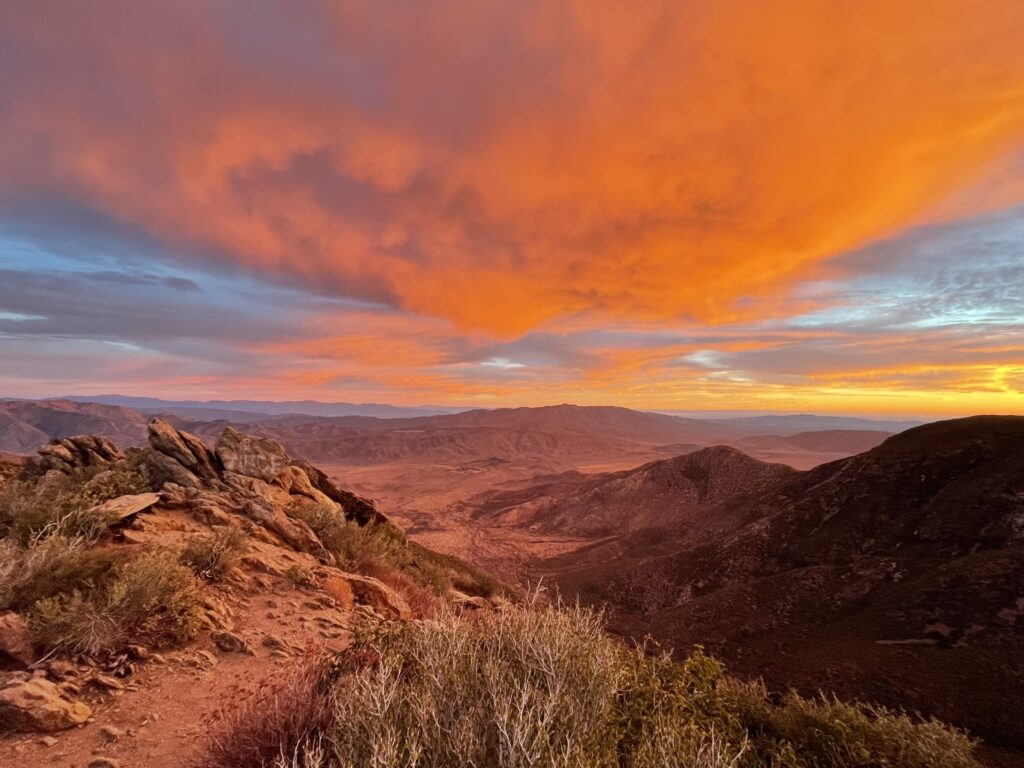
During the Mesozoic era period around 200+ million years ago, sediment from the sea slowly accumulated in layers along the coasts of North America. As the sea rose and fell over millions of years, these layers became so thick it compressed the land itself. Eventually these layers underwent metamorphic changes through pressure and magma rising in the subduction zones, and were lifted to create many of the slopes and mountains we see today in San Diego County. Erosion over millions of years has exposed these layers, which you can see throughout parts of the Cleveland National Forest.
Brief History
Original Inhabitants
This area was inhabited for thousands of years by several Native American tribes who lived in the desert, mountain, and coastal areas of Southern California, including the Kumeyaay, Luiseños, Cahuilla and Cupeño bands. The arrival of Juan Rodriguez Cabrillo brought the first European contact to this area in 1542, with the native tribes losing the majority of their land to colonizers over the following centuries, forced onto reservations where they still reside. Today, many of the original trails and living sites are still present within the Cleveland National Forest.
Modern History
The Cleveland National Forest was created in 1908 by President Theodore Roosevelt and was named after another former president, Grover Cleveland.
How To Support The Cleveland National Forest
A Note on Public Lands Today
Public lands in the United States exist because people chose long-term care over short-term gain. These are lands that were stewarded for generations by Indigenous nations. That protection is never guaranteed. It depends on laws, funding, leadership, and public attention.
Unfortunately, recent federal decisions have weakened protections and increased pressure from extractive use and private enterprises. This puts ecosystems, natural resources, wildlife, cultural sites, historical sites, gateway towns, local and national economy, and public access at major risk.
If you appreciate public lands and the benefits they provide to all of us, please help support them through action and conversation.
National Park Conservation Association
National Forest Foundation
Trust For Public Land
The Nature Conservancy
The Sierra Club Foundation
The National Audubon Society
Photo credits
- Mountain Lion: Wayne Linton, via Pixabay
- Coast Range Newt: Jeremy Wasko
- Northern Flying Squirrel: Henrique Pacheco, CC BY 4.0, via Wikimedia Commons
- Turkey Vulture: Channel City Camera Club/Susan T. Cook, CC BY 2.0, via Wikimedia Commons
- Granite Night Lizard: Chris Brown, Public domain, via Wikimedia Commons
- Coyote: Steve Peck, CC BY 2.0, via Wikimedia Commons
- Sacred Datura Flower: Robb Hannawacker, Joshua Tree National Park, Public domain
- Sugar Pines: Jason Hollinger, CC BY 2.0, via Wikimedia Commons
- California Scrub Oak: Krzysztof Ziarnek, Kenraiz, CC BY-SA 4.0, via Wikimedia Commons
- Chamise: Krzysztof Ziarnek, Kenraiz, CC BY-SA 4.0, via Wikimedia Commons
- Incense Cedar: Geographer at English Wikipedia, CC BY 1.0, via Wikimedia Commons
- Pinyon Pine: Joshua Tree National Park, Public domain