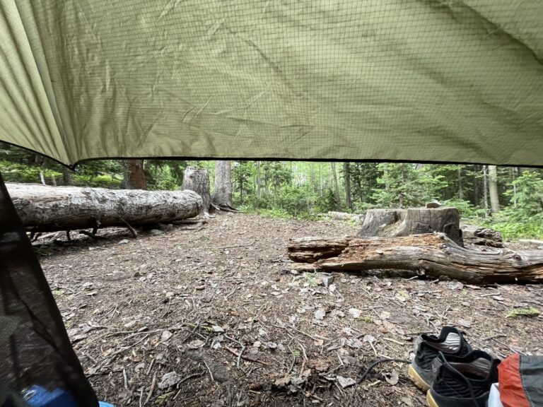
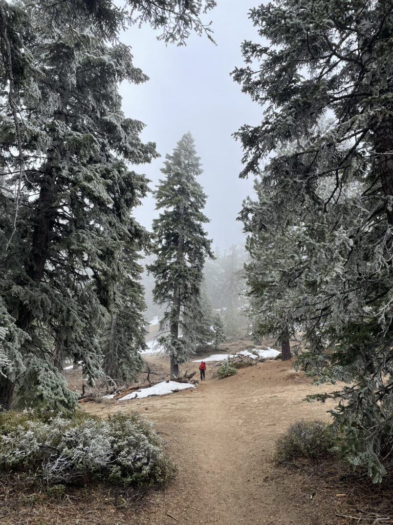
Camping Guide: West Elk Wilderness
Remote, a key habitat for wildlife, and chock full of Rocky Mountain beauty. We highly encourage you to go slow, and breathe it all in.
In this Guide:
About
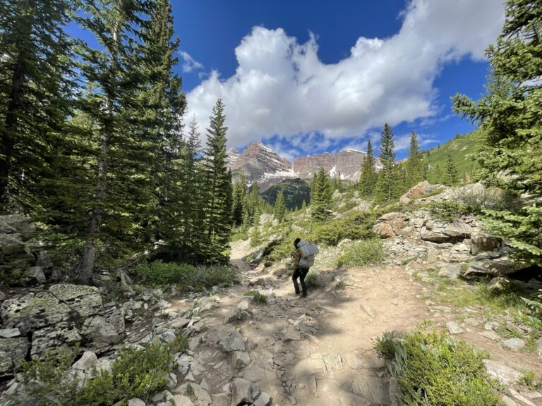
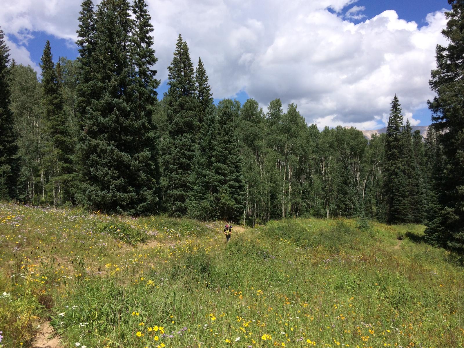
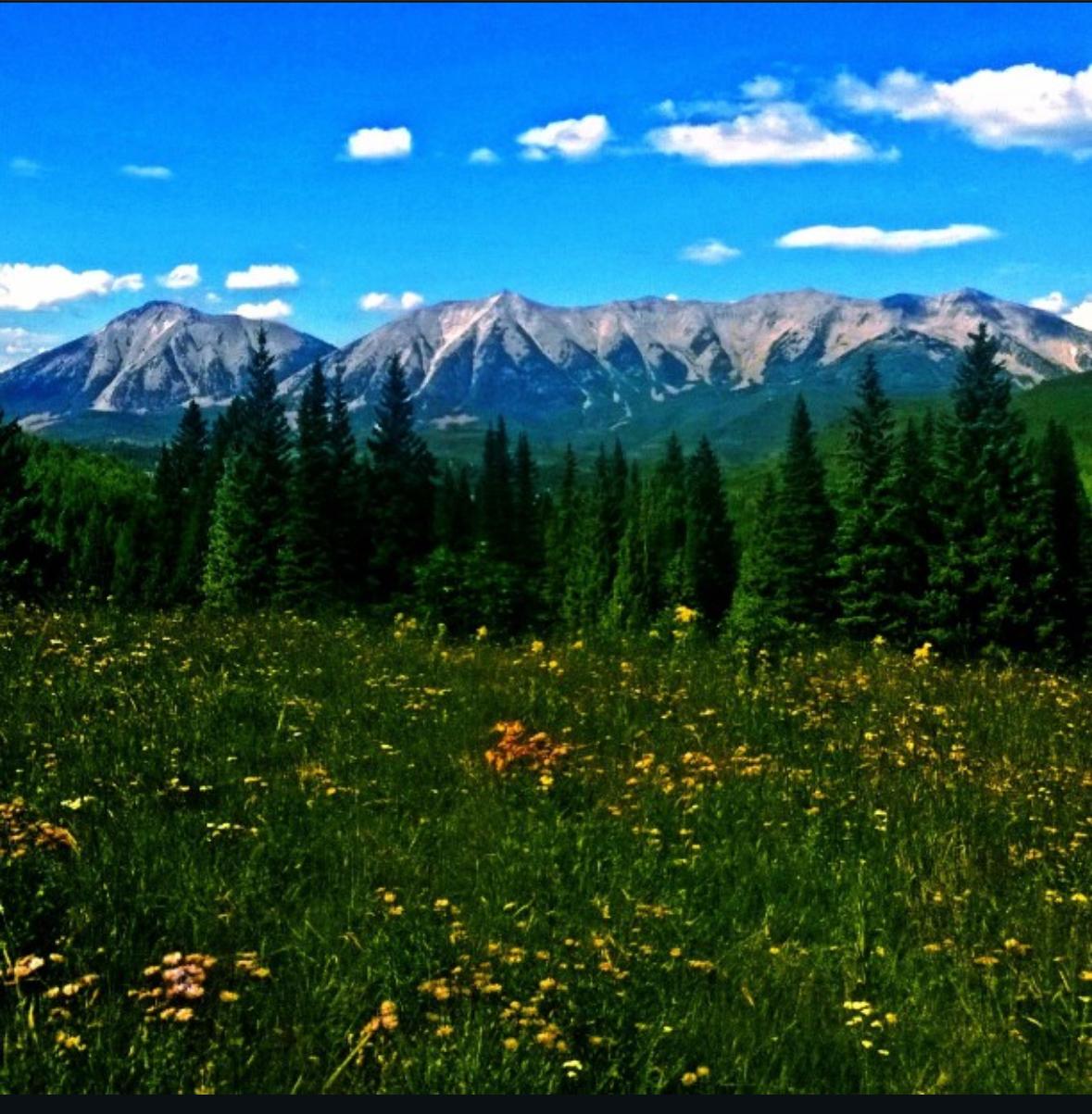
West Elk Wilderness camping takes place across 176,412 acres, and holds the West Elk Mountain Range (a sub range of the Rocky Mountains). It is located in west-central Colorado, just north of the Blue Mesa Reservoir. The scenery is dramatic and rugged, with jagged columns and peaks stretching above 13,000 feet, mature forests and wide meadows. Extremely remote and relatively undisturbed, dispersed camping is the only option here. Recommended for more experienced adventurers comfortable with topographical map navigation.
This area supports large populations of elk herds and other wildlife, while protecting key ecosystems including wetlands that store essential water for the area. Ranching is not uncommon in and around the West Elk Wilderness, so don’t be surprised if you pass a herd of sheep and their owners on a trail – give them the right of way and do not approach the dog (they will aggressively protect the flock).
Part of the Gunnison National Forest, the West Elk Wilderness is managed by the Gunnison Ranger District which will be your best source of up to date information and conditions.
Curious about Wilderness Areas in general? Read more about How To Camp In Wilderness Areas.
Details For Visiting
How To Get There
Below are some of the nearest towns surrounding the West Elks. From here, you can drive into the National Forest and access the trailheads entering the Wilderness.
Paonia, CO – access to Western and Northern trailheads:
Less than 20 minutes to some of the trailheads, Paonia, CO is a small mountain town of about 1,500 residents. Originally a coal mining town, it’s now known for its fruit orchards including peaches, pears, plums, and apples, and small seasonal festivals. It is also home to the nonprofit news magazine, “High Country News” which reports on public land and the environment. Google Maps to Paonia, CO.
Crested Butte, CO – access to the Northern and Eastern trailheads:
Crested Butte is a popular but remote ski town, and is within 30 minutes of the trailheads entering the West Elks. With a population of around 1,600, you’ll find several restaurants, coffee shops, and supply stores to gear up for adventures. They also host many art, film, and recreation events throughout the year. Google Maps to Crested Butte, CO.
Gunnison, CO – access to the Southern and Eastern trailheads:
This is the largest and most accessible town (relatively speaking) near the West Elk Wilderness, and is within 30 minutes to many of the popular trailheads. Home to Western Colorado University, Gunnison has a population of about 6500 residents. As with other old mining towns, its economy is now driven largely by agriculture, and recreational tourism. Being a large town, you’ll find more options for restaurants, a brewery, and several lodging options. Google Maps to Gunnison, CO.
When To Visit
Spring typically means a lot of road/trailhead closures from winter snowpack. However, once open in the later part of the season, you’ll be welcomed to some beautiful spring melts, fresh saplings and wild flowers. Higher elevations will still contain snow and are likely inaccessible until early summer. Take caution during springtime as melting water can cause intense rockslide, mudslides, and unstable terrain.
Summer is time to explore the 200+ miles of trails with access to some of the best dispersed camping and backpacking. Summer visitation is higher but this rarely affects your chances of finding a peaceful camping spot (fall is much busier, see below). Wildlife is abundant and thriving during this time so be mindful of your surroundings and stay safe on the trails. As mentioned above, ranchers can be found in and around the West Elks, so trail encounters are not uncommon. Please be respectful and give them the right of way.
Fall is ideal in the rockies, not just for the cooler weather but also the autumn scenery with bright aspen leaves against the evergreen forests. However, this is also hunting season in Colorado and by far the busiest time to explore the West Elks. Remote access and solitude are still achievable in this expansive wilderness, but expect more campers and trail-goers. It goes without saying, but be careful and stay visible with bright colors during hunting season.
Winter is effectively the end of access into the West Elk wilderness since it snows hard in the Rockies. Should you have a snow-vehicle and you can make it to the trailheads with some snowshoes and proper gear, then by all means do so as I’m sure it would be magical. Otherwise, this is a time for quiet and rest.
Points Of Interest
Mill Castle Trail: Most accessible from the town of Gunnison, it is considered one of the most scenic trails in the West Elk Wilderness, offering steep and rugged terrain, as well as stream crossings. For more information, check out the USFS website page on Mill Castle Trail #450.
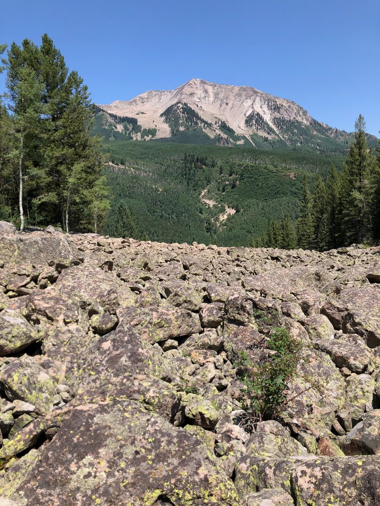
West Elk Peak: At 13,041 feet, it is the highest peak in the West Elk Mountain Range and holds the famed “Castles” – a series of sharp, fluted towers along the mountain ridge that dramatically cut the landscape. Most commonly accessed from the Mill Castle Trailhead (above), which connects to an unmaintained trail to the West Elk Peak.
Sheep Lake: After two attempts, I have yet to make it here to this lake. Small and right in the heart of the west elks, it is one of the few lakes in this area, ideal for catching a trout and observing the local wildlife (so I’ve heard). Sheep Lake itself has a rule to stay 300 feet back from the shore for camping and campfires. One day, this post will be updated with a successful trip to Sheep Lake Trail #848.
Camping Etiquette
Regardless where you camp on our public lands, it’s important to learn, practice, and share proper camping etiquette. Some key items include:
- Understand the Leave No Trace principles.
- Do not ever feed, approach, or disturb any wildlife.
- Be respectful to other campers (noise, lights, space).
- Unless you have access to trash facilities, please pack everything out (including poop and tp)
- Leave the place better than you found it.
- Please try to use already established camping areas instead of creating your own.
For more info, please read our article on Camping Etiquette For Beginners.
Types Of Camping Allowed
Wilderness Areas do not have roads and are strictly limited to “foot” travel only, which includes animal feet should you be traveling by horse or pack-animal.
Backpacking:
Where you travel only by foot and carry all your gear, food, and supplies in a backpack. For a full guide on backpacking, read our Backpacking Basics article.
Animal Packing:
Where you travel with a pack animal such as a horse, mule or llama to carry your gear and supplies. This is a fairly common method of camping in the West Elk Wilderness given the size, terrain, and local ranching communities.
Where You Can Camp In The West Elk Wilderness
Wilderness Areas are intended to maintain the area in as much of a natural state as possible, which means there are no developed campgrounds, facilities, or services of any kind. You are on your own, out here.
Dispersed Camping:
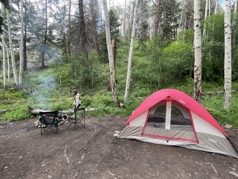
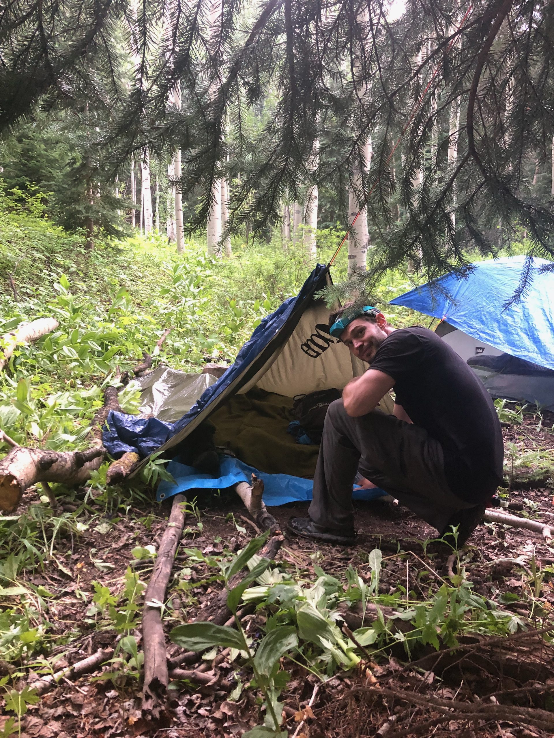
Dispersed camping (sometimes called “wild camping” or “backcountry camping” ) is any camping on public lands outside of developed areas or campgrounds. No facilities, no campground host, and no fire rings. Just you and mother nature.
Where you can dispersed camp:
- Provided there is no signage or bans stating otherwise, you can dispersed camp virtually anywhere along the 200+ miles of trails in the West Elk Wilderness.
- See our Maps and Navigation section to research and discover the available trails
- Or visit the West Elk page on the USFS website for a list of trails
General rules:
- When dispersed camping, you must camp at least 200 feet away from trails, water sources, meadows, and other campers.
- Use existing camp spots instead of creating new ones.
- Please respect any signs prohibiting camping in specific areas. This is to protect sensitive areas and prevent overuse.
- Check here for official Wilderness Regulations.
Fees:
- Camping here is free.
Group size:
- Each group is capped at 15 people, or 25 combined people and stock.
Reservations:
- None.
- Dispersed camping is first-come, first-served.
Permits/passes:
- A free permit is required, which you fill out at the trailheads.
- Currently, there are no daily quotas or limits on available permits.
- Essential to fill out so rangers can locate you in case of emergency, and so the USFS can determine where to best allocate resources for maintenance and updates.
- It’s good to carry a national “America The Beautiful” pass when on public lands, but not always required.
Campfires:
- Usually allowed, unless there are local fire restrictions in effect, in which case only camp stoves are allowed.
- No fires within 200 feet of water or trails. No fires at or above tree line.
- Contact the Gunnison Ranger District for the most up-to-date information on fire restrictions.
Water:
- Potable water stations are not available in any Wilderness.
- You must carry, filter, and treat all of your own water from available sources.
Pets:
- Dogs are allowed, but must be on a leash and under control. Please be mindful that dogs, even if well-behaved, leave scents on the trail which can scare wildlife away from their normal paths or habitats.
Cutting trails/switchbacks:
- Making shortcuts on trails is prohibited. Going off trail causes severe and lasting damage including erosion, habitat destruction, increased flood risks, increased safety risks for people, and costly maintenance.
Alerts:
- Before any trip, always check the current conditions and alerts for the area.
Additional Resources:
- Contact the Gunnison Ranger District for information on current conditions, recommendations, or details about the area. The rangers are happy to help and are a great resource to help plan your camping trips.
Other Camping Areas Around The West Elks
- There are no developed campgrounds in the West Elk Wilderness. However, there are developed campgrounds in the surrounding Gunnison National Forest:
- Ponderosa Campground – first come, first served
- Lost Lake Campground – first come, first served
- Soap Creek Campground – first come, first served
- There are no primitive campsites in the West Elk Wilderness. However, there are primitive campsites in the surrounding Gunnison National Forest:
- Through Line/Coal Creek Trailhead – first come, first served. Campsites available near trailhead.
- Rainbow Lake Trailhead – first come, first served. Campsites available near trailhead.
- Mill Castle Trailhead – first come, first served. Campsites available near trailhead.
- Soap Creek Campground – first come, first served
- Soap Creek Corral – first come, first served
Maps And Navigation
Physical Maps:
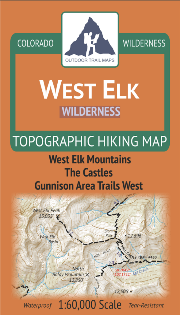
Always carry a physical/topographical map issued from the managing agency or a reputable service, along with a compass. Here are some suggested physical maps to purchase for the West Elk Wilderness and surrounding National Forest:
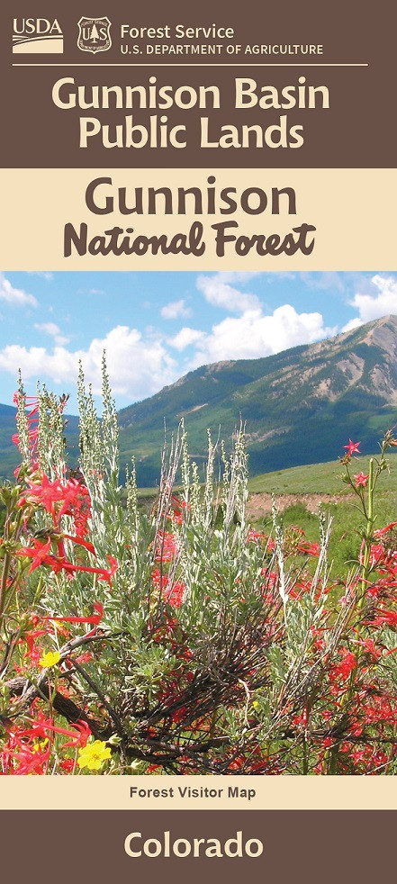
Digital Maps:
You should only use digital apps or tools that include government-issued topographical layers such as from the USFS and USGS to ensure accurate information. Here are some suggested digital maps and tools for the West Elk Wilderness and surrounding National Forest:
- Gaia GPS – West Elk Wilderness
- Interactive Map from the US Geological Survey
- USFS Map of Grand Mesa, Uncompahgre and Gunnison National Forests
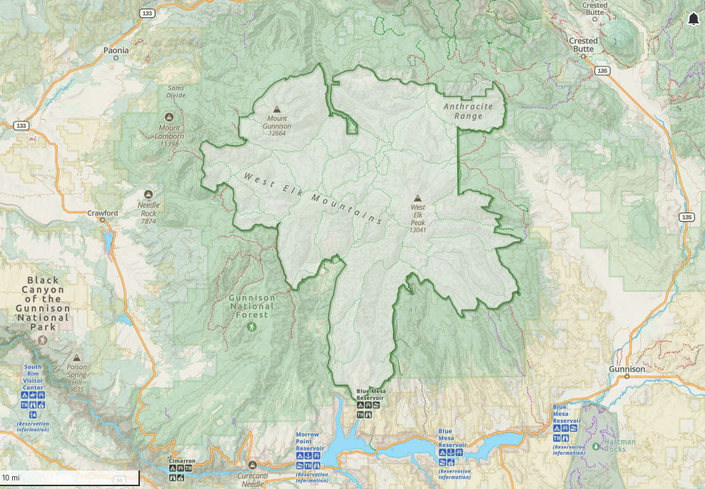
- Interactive Wilderness Map from Wilderness Connect (shown below)
Safety tips for navigation:
It is great to see apps encouraging outdoor exploration, but please be cautious (or avoid) using crowd-sourced hiking and camping apps. They often lead to trails and routes that do not exist, cut through sensitive habitat, or lead to off-limit and dangerous areas. This puts wildlife, ecosystems, hikers, and rescue teams at risk.
Instead, use maps and information that are sourced directly from the managing agency of the area. If you need help, just contact the local ranger district and they will be happy to provide resources.
How To Plan A Trip Here (Quick Review)
- Confirm your goals for the trip:
- How many nights?
- How many people?
- How many miles?
- What time of year?
- Specific destination or activities (get to a lake? fishing? summit a peak?)
- Use local maps and navigational resources:
- See the “Maps and Navigation” section above to do your research.
- Choose what type of camping:
- In this case, only backpacking or animal packing are allowed.
- Choose where you’ll camp:
- Dispersed camping only.
- Depending on the type of camping and where, determine the following logistical details:
- Getting there: Find out what roads you can take (main, or forest service roads), the trailhead location, and parking availability.
- How you’ll secure your campsite: All dispersed camping spots in the West Elk Wilderness are first-come, first-served only.
- Distance: Either the driving distance, or hiking distance (or both).
- Trail/route details: What type of trail (out and back, loop, point-to-point), total elevation gain.
- Terrain: Is the area forested, above tree line, are there water crossings, exposed areas, rough roads that require AWD.
- Water sources: Are there reliable fresh water sources along your trail and near your chosen camping spot.
- Backups: Consider having one or two backup routes or trails in mind.
- Know the local rules:
- See the above section, “Where you can camp,” for additional details on group size, fire restrictions, pets, and other local rules.
- Contact the Gunnison Ranger District or visit the USFS site for current conditions and alerts for your chosen route:
- Road conditions: Oftentimes roads can be closed due to damage, snow, and repairs. Confirm before you leave for your trip, and have alternative routes in mind.
- Trail conditions: Trails may be closed for maintenance, wildfire or flood damage. This may affect your trip if you plan to go on day-hikes or adventures, or if you are backpacking.
- Local weather: Mountain and wilderness weather is very local, changing dramatically within just a few miles. Always check weather for your exact dates, I recommend the National Weather Service.
- Water sources: As stated earlier, you should confirm for water sources and their availability/reliability with a Ranger.
- Wildfires: This should never be overlooked. Make sure you have a safe evacuation route, and are up-to-date on current fires and areas of risk. Use the “Active Wildfire Map” from American Forests.
- Other: There’s a lot that can happen – bear encounters, flash floods, hail storms, avalanches, rock slides. When in doubt, just call the local ranger district for information.
- Enjoy the trip – the rest is up to you!
- Now that you’ve planned out your trip, the rest is up to you for packing, preparing supplies, and making it all come together.
- Check out other camping resources to help you with your trip, including “Camping Gear For Beginners” and “An Intro To Public Lands.”
The Natural World
Fauna
Known for its thousands of elk and deer herds, the West Elks are a thriving habitat for many other wildlife.
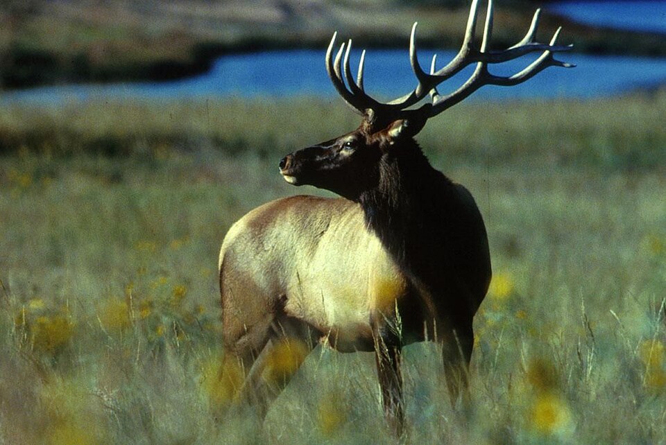
Elk
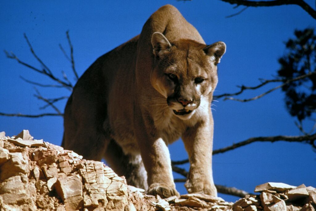
Mountain Lion
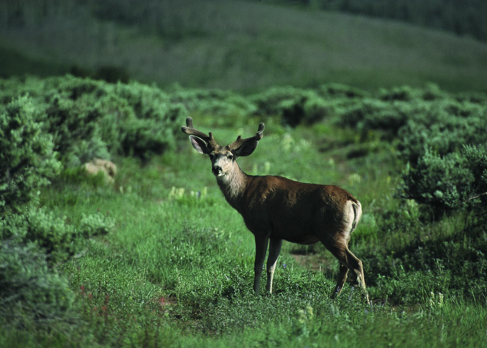
Mule Deer
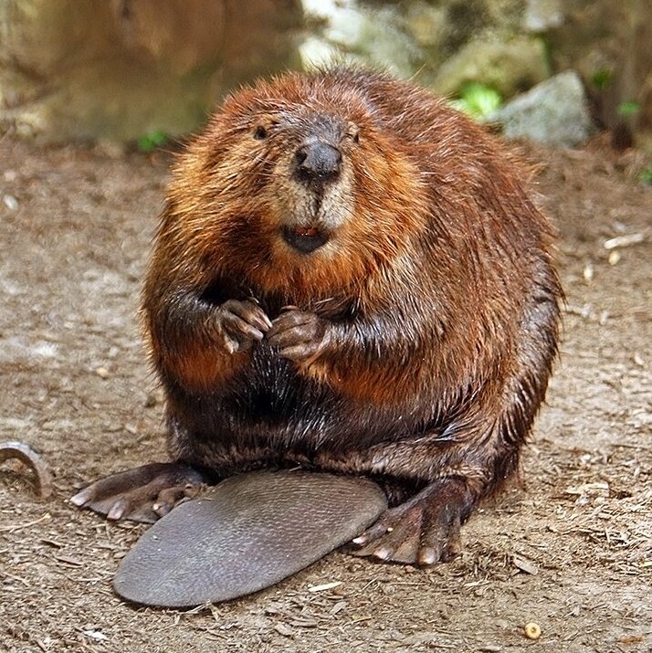
Beaver
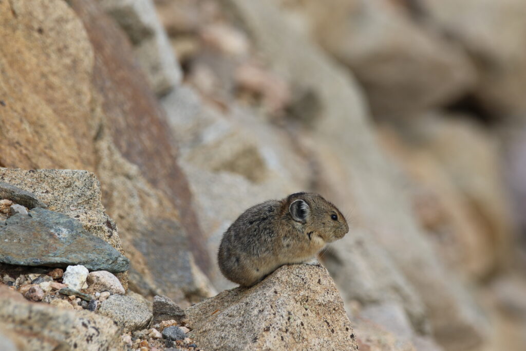
American Pika
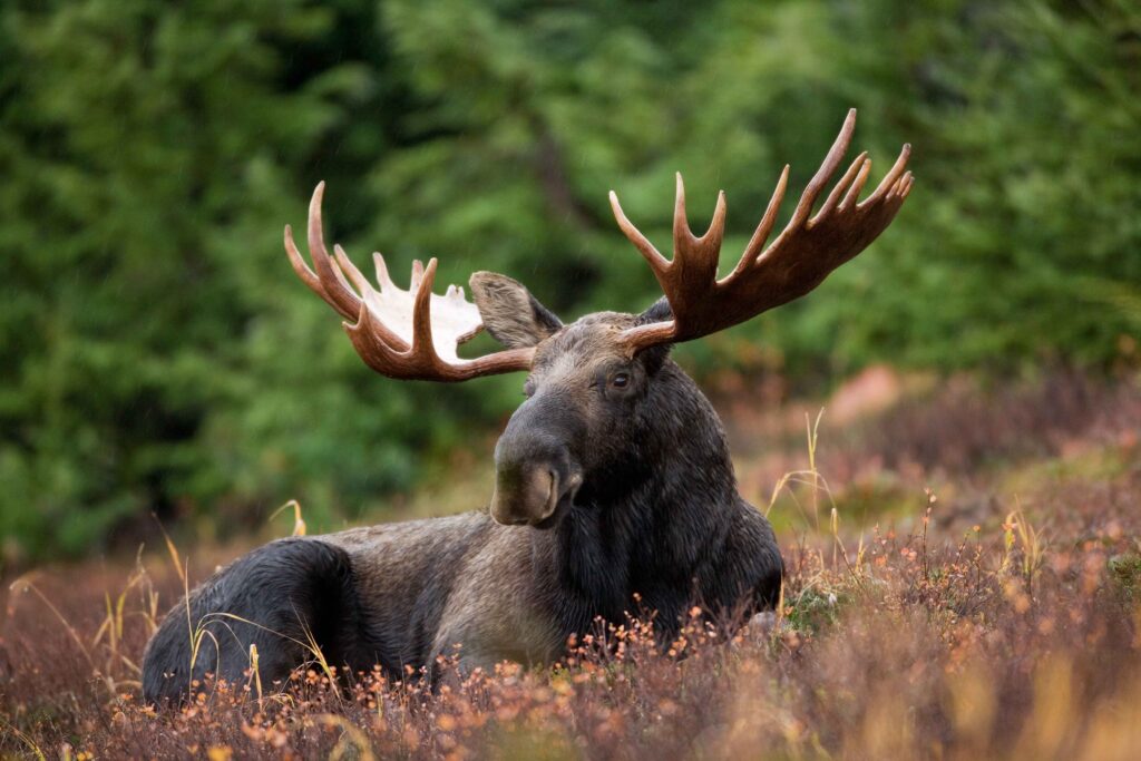
Moose
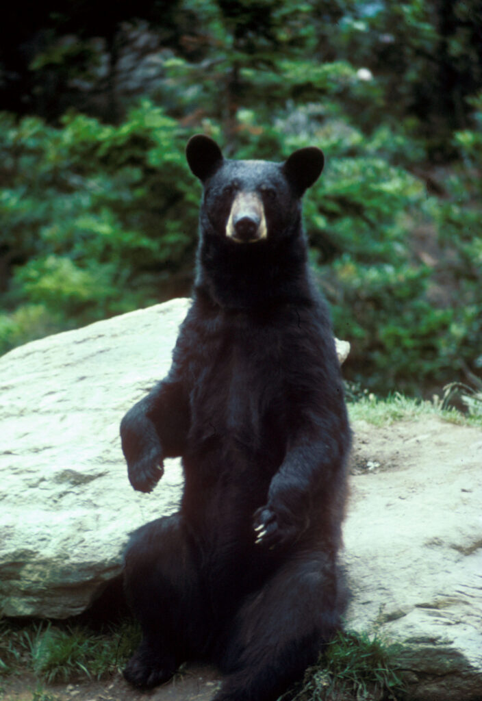
Black Bear
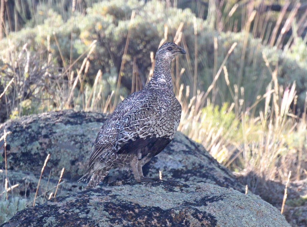
Gunnison Sage-Grouse
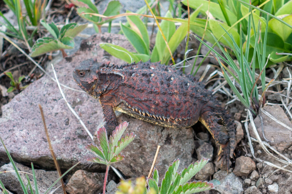
Greater Short-horned Lizard
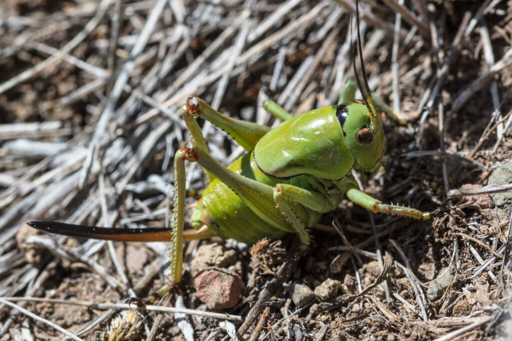
Mormon Crickets
Flora
The West Elks contain a great representation of Colorado’s plant communities, from alpine tundra and vast forests down to riparian habitats. Spring and summer show off the diverse wildflowers, while aspens shine in the fall.
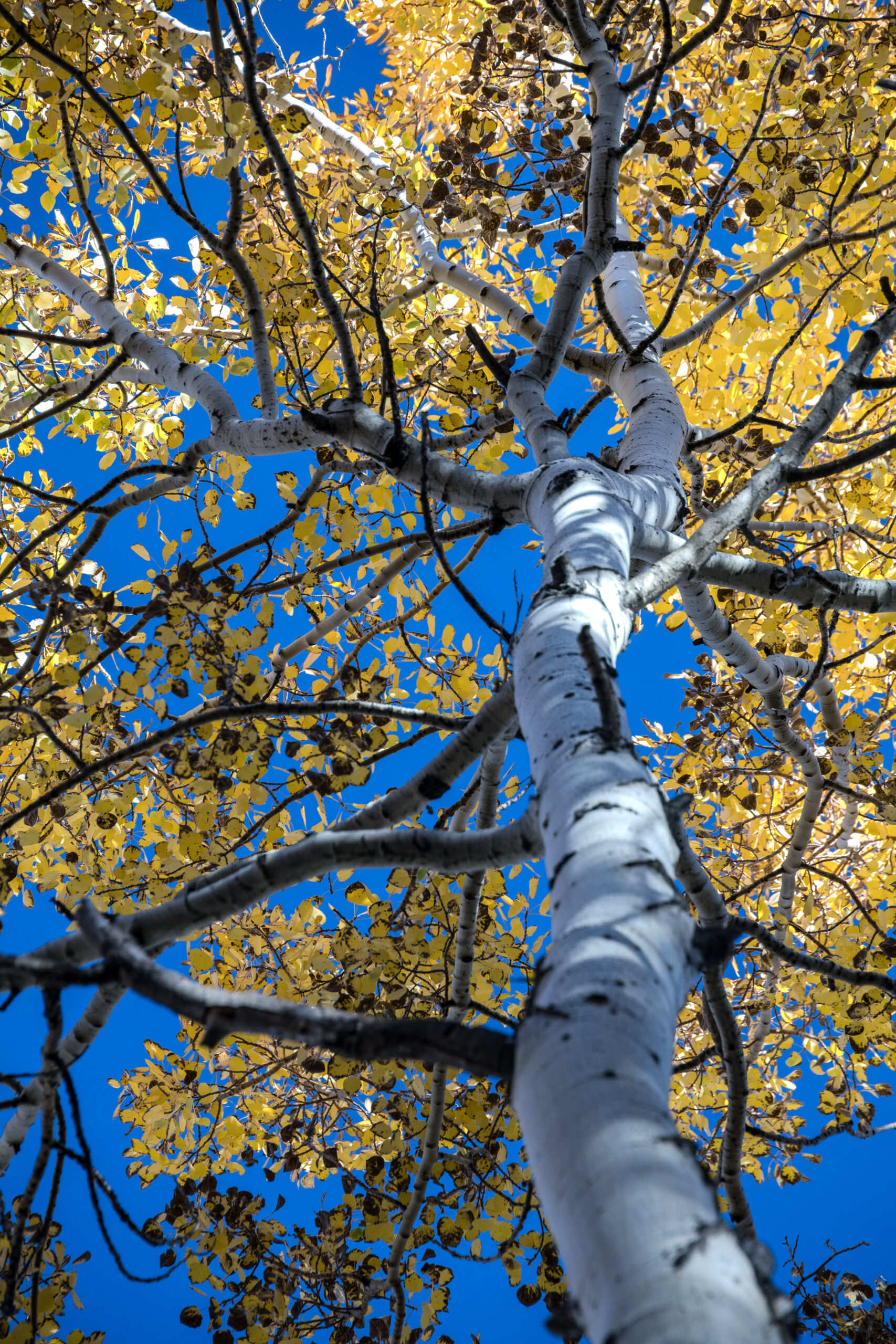
Quaking Aspen
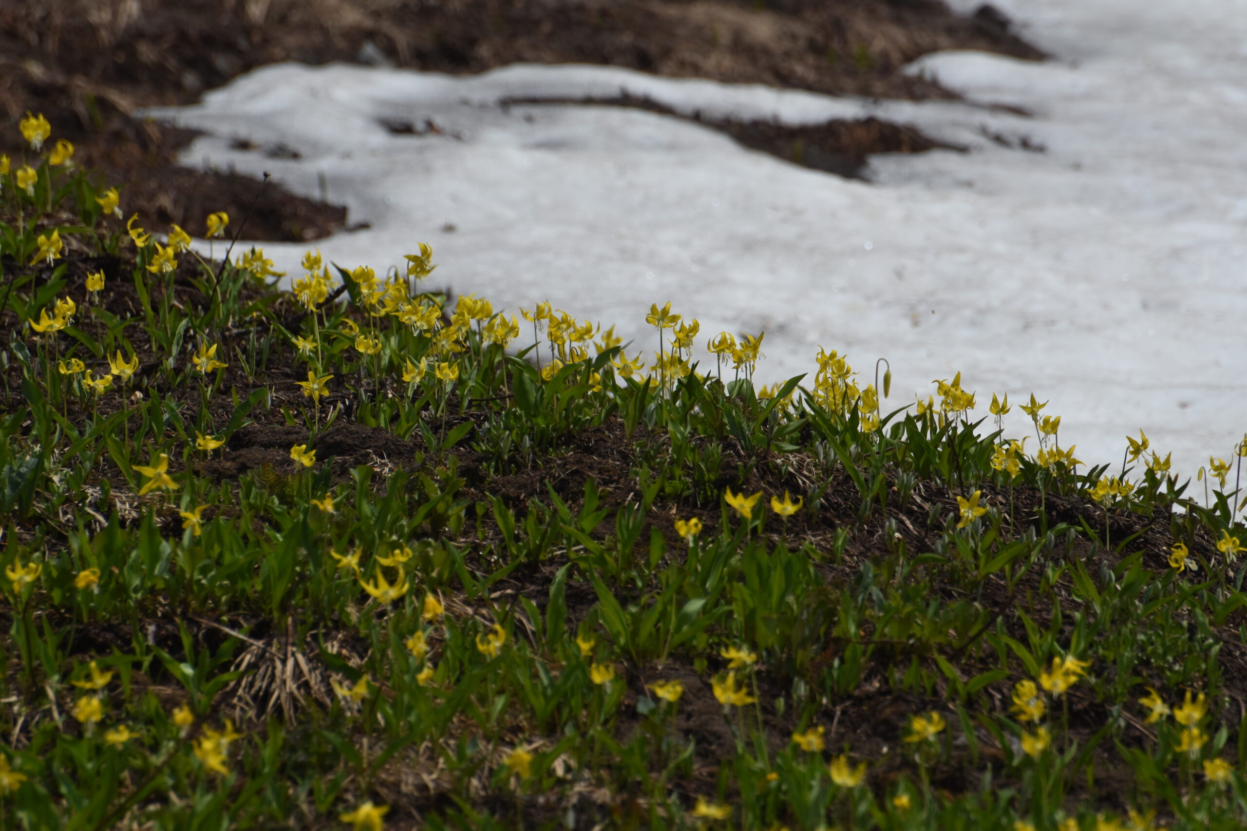
Yellow Glacier Lilies
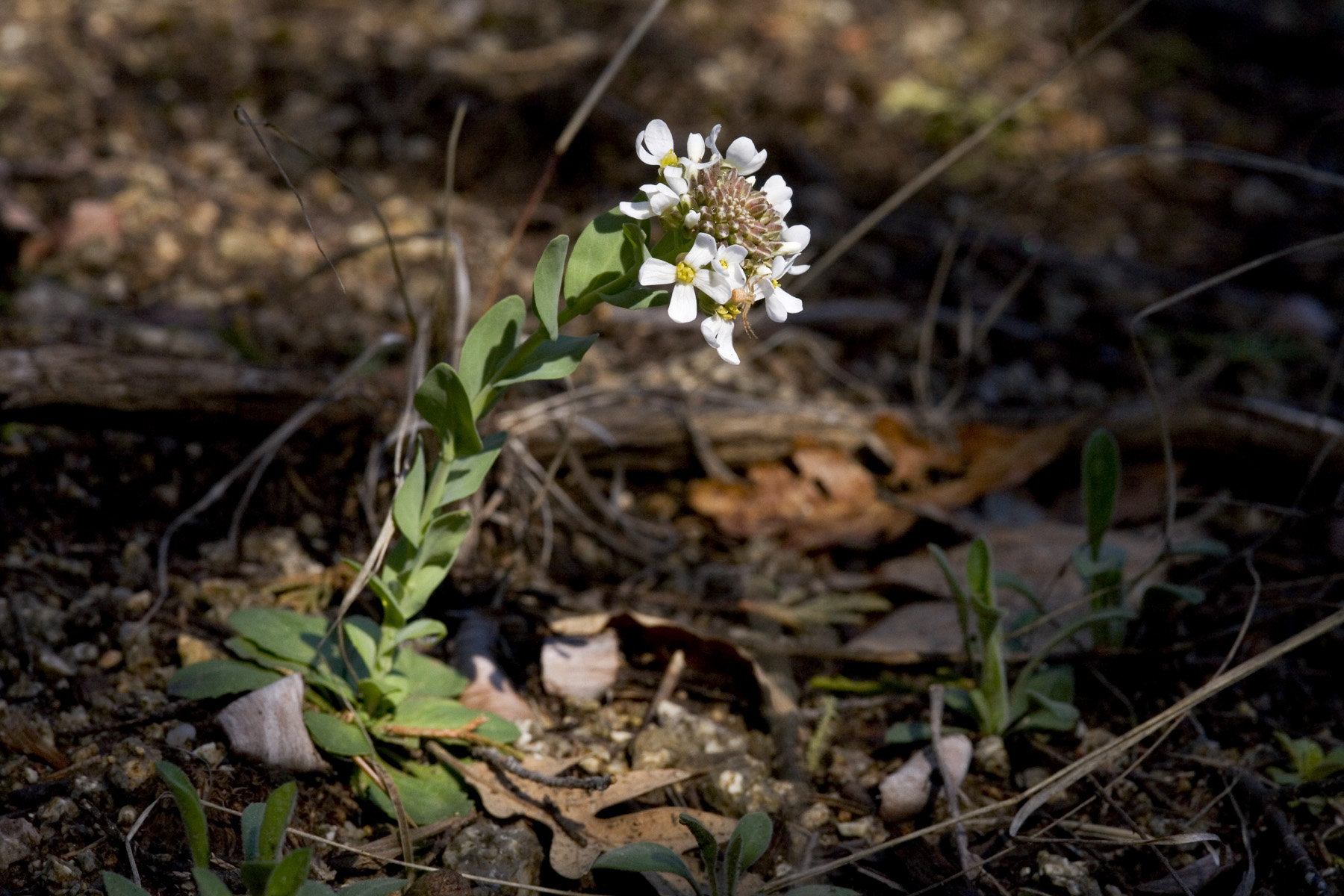
White Candytuft
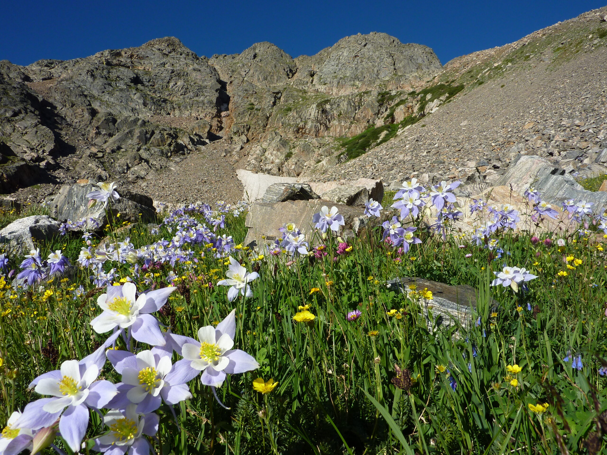
Columbine
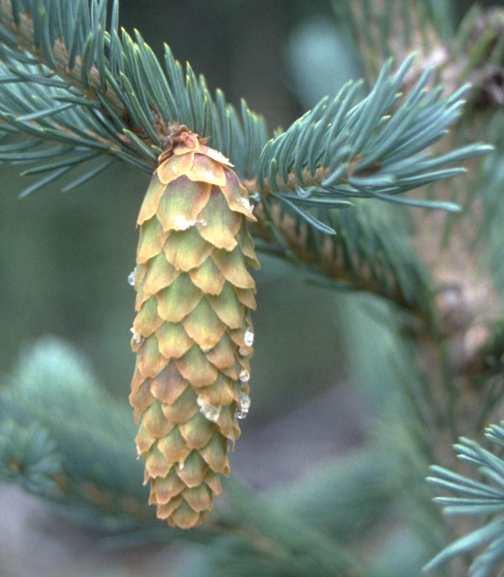
Engelmann Spruce
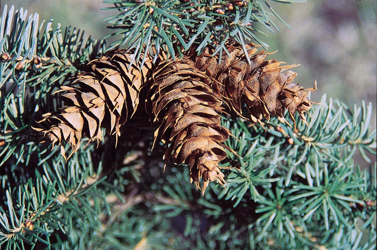
Douglas Fir
Geology
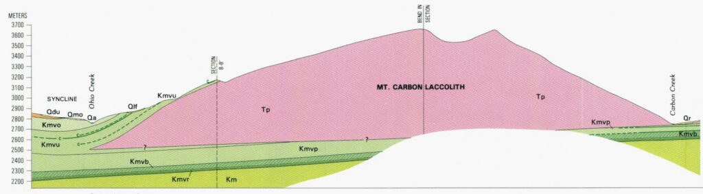
Initially, this area was relatively flat and contained layers of sand, mud, and rock from ancient seabeds.
Roughly 30 million years ago, hot magma rose up from underneath, lifting much of the layered sediments into the peaks we see today. A lot of eruptions and violent volcanic activity occurred as well, burying a lot of the area in heavy ash and rock debris. A unique type of rock known as Breccia is prominent in the area, with layers of rock, ash, and gravel solidified into a distinct formation.
Following millions of years of volcanic activity, glaciers later carved through the area during the Pleistocene Epoch to create the peaks and valleys we see today.
As with a lot of the western states, mineral deposits were left behind that drew miners in the late 19th century, including gold, silver and copper. Today it is a designated Scientific Focus Area, with numerous ongoing studies and experiments that help us understand how watersheds in mountainous areas both store and release minerals, soils, and other particulates into the environment.
Brief History
Original Inhabitants
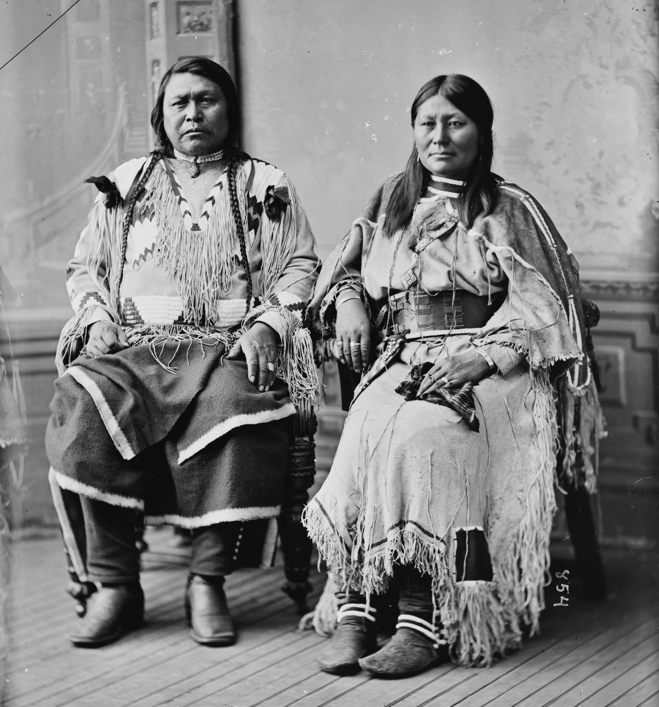
Humans have long occupied the West Elks and surrounding areas, with evidence dating back to the Paleo-Indian and archaic periods. The Ute are among the longest and most established residents in Colorado, and in what is present-day Gunnison County.
The Ute hunted elk, mule deer, and subsisted on the wild roots, plants, and fruits in the area. Living by the seasons, summer time would bring them into the high country and Gunnison Valley following the wild herds, while in winter they would migrate to canyons and areas with natural hot springs such as present-day Glenwood Springs.
The Ute were actually among some of the first Native American tribes to acquire horses, having encountered Spanish colonizers beginning in the mid-sixteenth century. As gold and other minerals were discovered, the Ute regularly defended their territories to keep the extractive industry out, and their attacks halted mining attempts through the 1860s. Eventually the federal government forced the treaty of 1868, which created the “Consolidated Ute Reservation” across the western third of Colorado Territory and pushed the Utes into the western portion of what would become Gunnison County. Prospectors kept trespassing anyway, and in 1873 the government forced the Brunot Agreement, taking 3.7 million acres of the San Juan Mountains for mining claims. After additional disputes and tragic incidents, the Ute tribes were then expelled from the area and “force-marched to Utah in 1881.”
Today, the Ute are three federally recognized tribes: the Southern Ute Indian Tribe at Ignacio, the Ute Mountain Ute Tribe at Towaoc, and the Ute Indian Tribe of the Uintah and Ouray Reservation in Utah.
Modern History
The West Elk Wilderness was originally established in 1964, as part of the original establishment of The Wilderness Act by President Lyndon B. Johnson. It is the fifth largest wilderness in Colorado.
How To Support The West Elk Wilderness
A Note on Public Lands Today
Public lands in the United States exist because people chose long-term care over short-term gain. Lands that had been previously stewarded for generations by Indigenous nations. That protection is never guaranteed. It depends on laws, funding, leadership, and public attention.
Unfortunately, recent federal decisions continue to weaken protections and increase pressure from extractive use and private enterprises. This puts ecosystems, natural resources, wildlife, cultural sites, historical sites, gateway towns, local and national economy, and public access at major risk.
If you appreciate public lands and the benefits they provide to all of us, please help support them through action and conversation.
National Park Conservation Association
National Forest Foundation
Trust For Public Land
The Nature Conservancy
The Sierra Club Foundation
The National Audubon Society
Photo credits
- Elk: Ryan Hagerty, U.S. Fish and Wildlife Service, Public domain
- Mountain Lion: National Park Service, Public domain
- Mule Deer: Gary Kramer, USDA Natural Resources Conservation Service, Public domain
- Beaver: Steve from Washington, DC, CC BY-SA 2.0, via Wikimedia Commons
- American Pika: Donald Hobern, CC BY 2.0, via Wikimedia Commons
- Moose: Ryan Hagerty, Public domain
- Black Bear: Mike Bender, U.S. Fish and Wildlife Service, Public domain
- Gunnison Sage-Grouse: Alan Schmierer, Public domain (CC0)
- Greater Short-horned Lizard: Bob Walker, CC BY 4.0, via Wikimedia Commons
- Mormon Crickets: Jacob W. Frank, National Park Service, Public domain
- Quaking Aspen: Clyde Charles Brown, CC BY-SA 4.0, via Wikimedia Commons
- Yellow Glacier Lilies: National Park Service, Public domain
- White Candytuft: Patrick Alexander, Public domain (CC0)
- Columbine: U.S. Forest Service, Public domain
- Engelmann Spruce: Dave Powell, USDA Forest Service, Public domain
- Douglas Fir: USDA-NRCS PLANTS Database, Public domain