About The San Jacinto Mountains And Wilderness
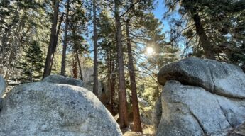
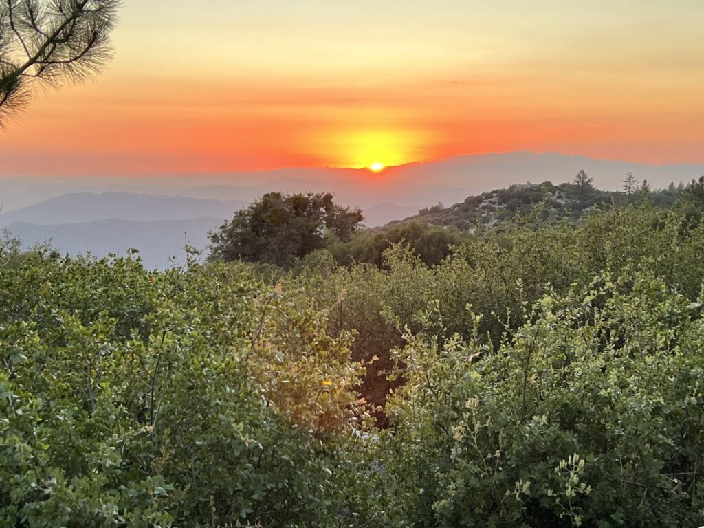
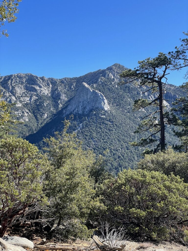
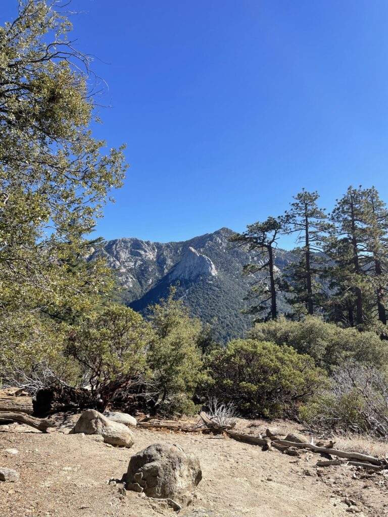
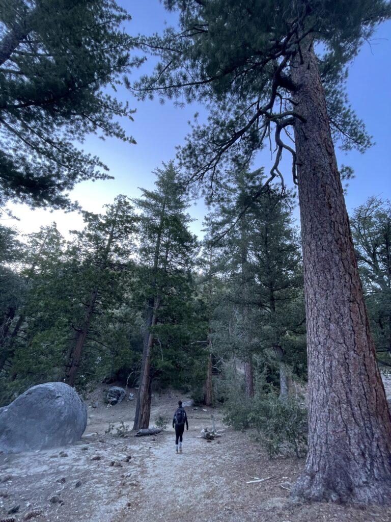
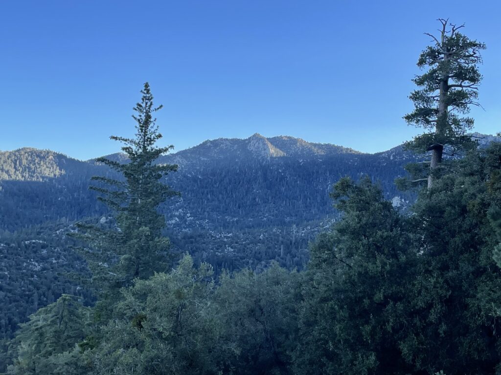
The San Jacinto Mountains are arguably the premier natural area of Southern California. Here you will find jagged peaks, deep conifer forests, meadows covered with wildflowers, and shrubby chapparal slopes leading down to a vibrant desert. It is a wildly diverse area great for adventure seeking city dwellers and serves as a critical refuge for the wildlife, watersheds, and the forests of Southern California. Only two hours from either Los Angeles and San Diego, you can easily hike or camp in the San Jacinto mountains for the day, weekend, or for extended excursions.
The San Jacinto Wilderness areas are shared between both the federal government and the State of California. This can seem a bit confusing when first visiting, but both agencies have significant overlaps with their trails, camps, and permitting systems to make access easy. Because you will encounter a mix of public land designations in the San Jacinto Mountains, it is important to know the difference at a high level, for which I have provided a breakdown below:
The San Bernardino National Forest
Most of the San Jacinto Mountains are within the San Bernardino National Forest, which is part of the Department of Agriculture. One of the most common designations of federal public lands, National Forests are a great place to explore America’s wild places for free (mostly), offering an abundance of hiking, camping, off-roading, and other recreational opportunities. Certain areas within National Forests can be given other distinct public land designations depending on the purpose or level of protection intended, such as Wilderness Areas.
The San Jacinto Wilderness
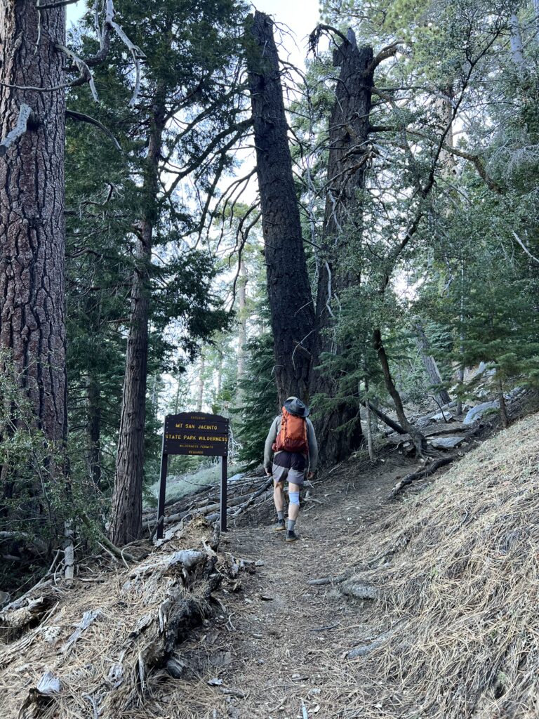
Created in 1964, the San Jacinto Wilderness contains 32,248 acres and is managed by the San Bernardino National Forest. A “Wilderness Area” is a designation of federal land that is the most highly protected. Driven by the Wilderness Act of 1964, it is designed to prevent any human development from occurring in the area, preserving it for the wildlife and ecosystems it supports. No roads or mechanical items are allowed, and it can only be access by foot.
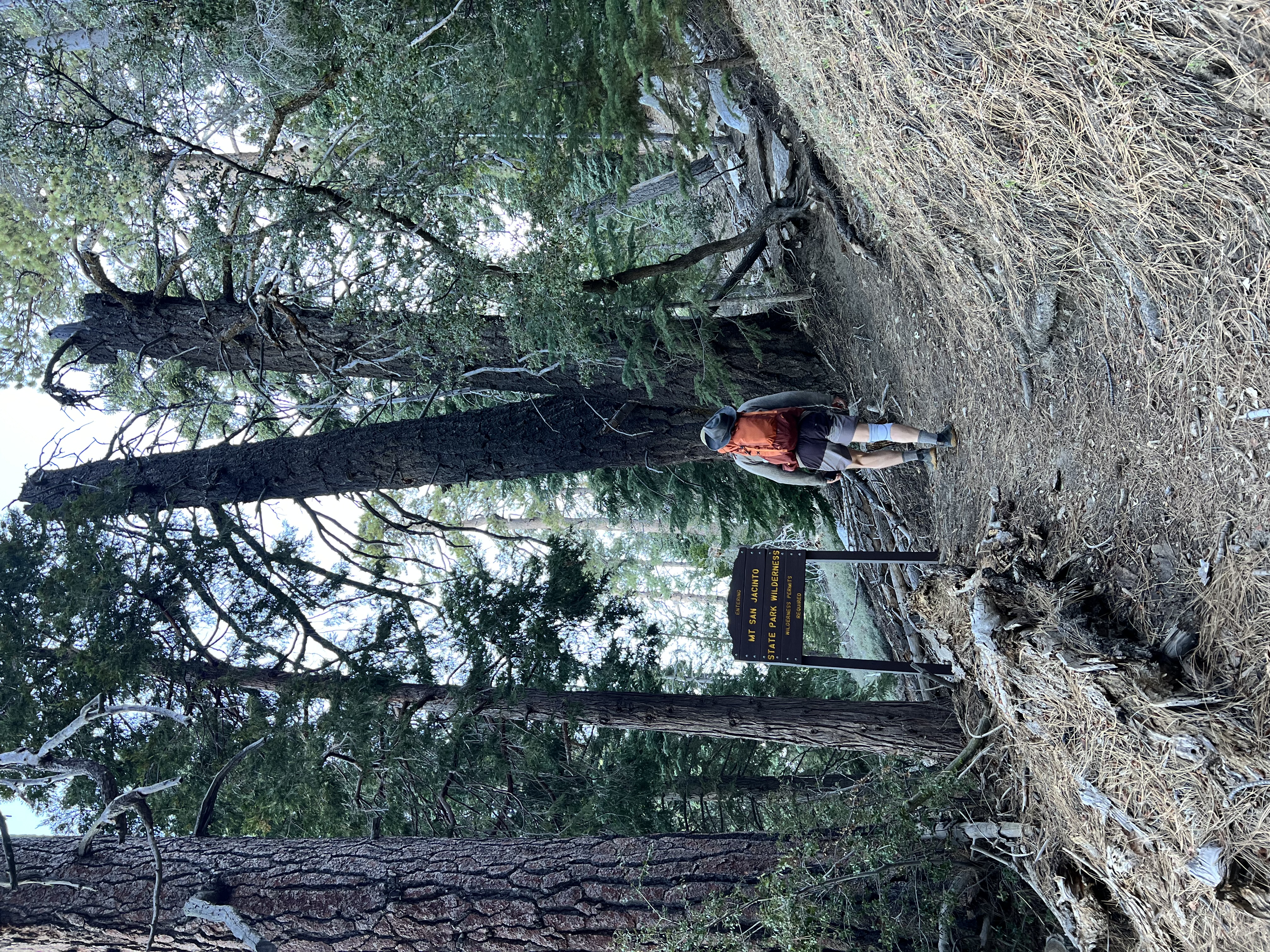
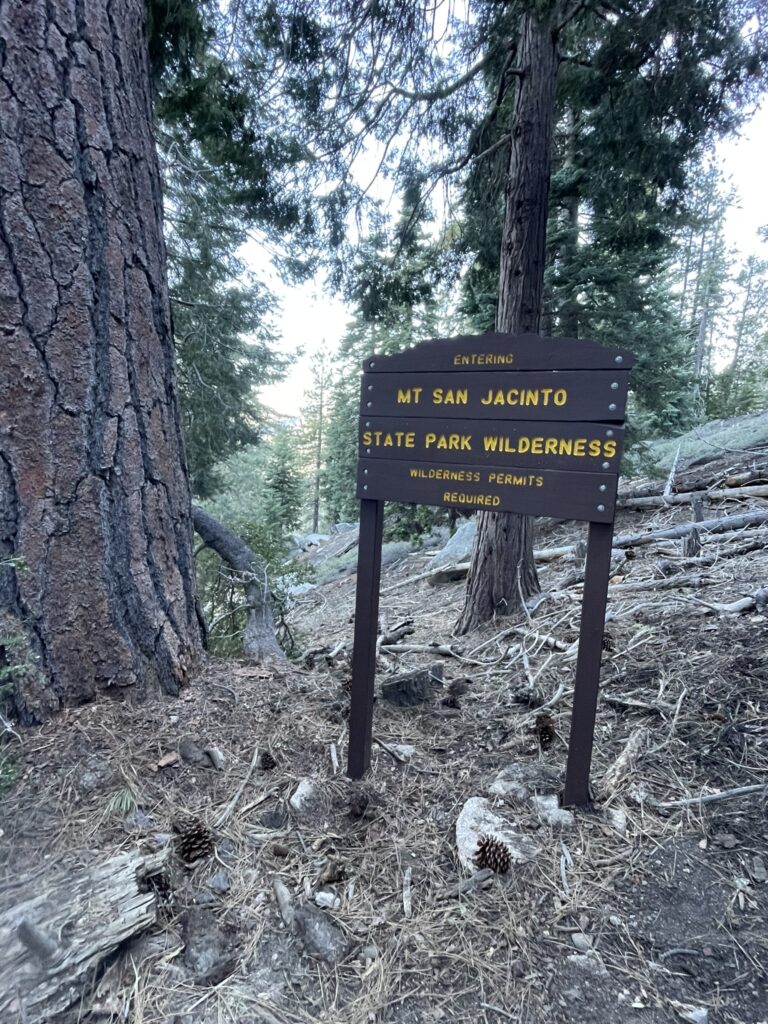
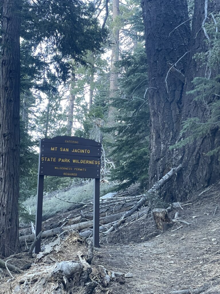
Mount San Jacinto State Wilderness
Like federal wilderness areas, the Mount San Jacinto State Wilderness is a highly protected designation of land managed by California State Parks. Covering over 14,000 acres, the Mount San Jacinto State Wilderness was created in 1933 and opened to the public in 1937. Only accessibly by foot, the rules and regulations are comparable to that of the federal wilderness areas which are reviewed in detail below.
The Santa Rosa And San Jacinto National Monument
Establish in October of 2000, the Santa Rosa and San Jacinto National Monument is co-managed by the BLM (Bureau of Land Management) and the San Bernardino National Forest. Parts of the San Jacinto Wilderness fall within the National Monument. Encompassing a total of 280,000+ acres, you’ll find the diverse landscape of mountains, shrubby landscapes, and high alpine environments that are characteristic of the area.
Other Land Designations Of The San Jacinto Mountains
Many other private, governmental, and tribal agencies help manage and protect the San Jacinto mountains and surrounding areas. This includes the Cahuilla Peoples who own over 19,000 acres of the land, as well as the Philip L. Boyd Deep Canyon Desert Research Center, the Coachella Valley Mountains Conservancy, the Nature Conservancy, American Land Conservancy, and Friends of the Desert Mountains.
Essential Details When Visiting The San Jacinto Wilderness
Getting There
Idyllwild-Pine Cove, CA is the main jumping point for visitors to the San Jacinto Wilderness.
From San Diego it is about 2 hours by car without traffic – Google maps directions from San Diego to Idyllwild.
From Los Angeles it is about 2 hours by car without traffic – Google maps directions from Los Angeles to Idyllwild.
From Palm Springs is about 1 hour by car without traffic – Google maps directions from Palm Springs to Idyllwild.
When To Visit
The San Jacinto Mountains are sought out during all seasons, so the best time really depends on your goals.
Spring weather can be favorable for hiking and camping in San Jacinto at lower elevations, but you will find plenty of snow and wet conditions along the trails and peaks. With the spring weather, you will encounter beautiful wildflower blooms in the meadows and forests. Campgrounds will still be closed until late spring, but backcountry is allowed year-round with a permit. With the spring run-off you are also more likely to encounter rock slides and mud slides on both the trails and roads, so take extra precaution during this time.
Summer is a great time for camping, hiking, and climbing. Be mindful as the heat can be extreme in the summer in the San Jacinto wilderness, bringing intense storms and hail with it – do not underestimate the heat. With summer the campgrounds are open, but you will also find heavier traffic and crowds. Thankfully, the wilderness and forest are expansive enough to find at least some level of solitude should that be what you are seeking.
Fall is one of the best times to visit, with warm but slightly drier conditions that are great for hiking and camping in San Jacinto. However, it can get very chilly at night with a risk of snow the later you get in the fall, so be prepared for temperature swings. Campgrounds begin to close in the fall as well, but overnight backcountry is still allowed with a permit year round.
Winter brings out the sports of snowshoeing and cross-country skiing, but access is limited to how far you’re willing to hike. All campgrounds are closed, but backcountry camping is allowed with permits (winter camping takes additional skills and knowledge). Of course, winter time is absolutely beautiful with the snow covered evergreens and mountain peaks.
Nearby Towns And Services
Idyllwild, CA is the main jump-off point for visitors of the San Jacinto Mountains. Beyond the opportunities for hiking and camping in Idyllwild, you will find plenty of restaurants, shops, gas stations, and comfortable lodging options. If you can, make sure to pay a visit to Mayor Max III and do not forget to bring some dog treats, because Max III is a golden retriever. As is written on the official town charter, only non-humans can be voted into the Mayoral position, which is why a dog has been the official Mayor of Idyllwild since 2012. It is charming, to say the least. Find out more about Mayor Max III of Idyllwild here.
Etiquette For Wilderness Areas And Public Lands
Leave the place better than you found it.
Human Waste: With the increase in outdoor recreation, human waste is a major challenge on public lands. It is rancid, unsightly, and severely damages the water quality and ecosystem. We strongly support the use of a “Wag Bag.” These are the best option available when it comes to human waste, and we encourage you to help make them more commonplace. The alternative is to dig a cat hole 6-8 inches deep, cover your waste thoroughly, and carry out your toilet paper. But with so many humans, poop and toilet paper plaguing our natural areas, we highly encourage you to use a wag bag.
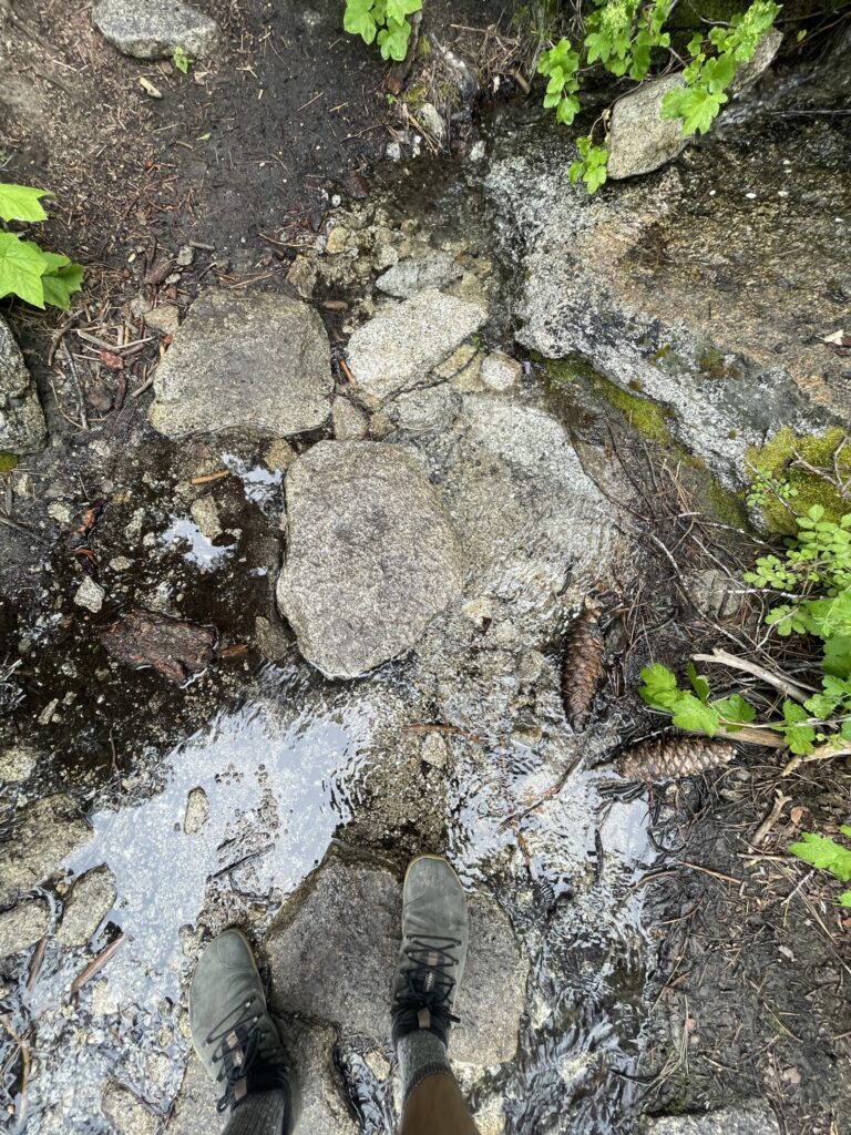
Water Use: Do not wash your dishes or clothes in water sources, even with biodegradable soap. This is harmful to all species in the water. Do not pee or defecate into water sources. Filter your water and/or bring water back to your camping area as needed.
Music: If you must listen to music, it is essential to wear headphones on all public lands. Music can travel far and disturb wildlife for miles around, scaring them off their typical paths or territories. Your music inherently becomes part of everyone else’s experience, including people who may have traveled hours to explore a natural area for some semblance of peace and quiet. Even if you appear to be the only person on the trail, you never know who will also join or who may already be there. Public lands are public, just like being on a bus or sidewalk. Wear headphones if you are going to listen to music in the wild, no exceptions.
Staying On Trail: Cutting trails or switchbacks to make shortcuts is highly damaging to wilderness areas. Switchbacks are designed specifically to avoid the risk of rain gullies forming on the hillside. Water follows the path of least resistance, so by cutting a switchback you create a gully in which the water travels down. This has a positive feedback loop of washing away vegetation, creating a wider gully which brings more rain, and washes more vegetation. This washes out trails, destroys vegetation, creates erosion and higher risks for flooding and rockslides, and costs lots of time and money to repair.
Trash: It should always be assumed that there is no trash service on public lands, ever. If you pack it in, then you must pack it out. Bring your own trash bags, and carry out everything. Throwing food scraps and fruit peels in nature is not composting (which is a chemical process involving heat and pressure), it is littering.
Camping Areas: Camp at least 100 feet away from all rivers, lakes, and water sources, as well as trails and other campsites. This is to protect the environment, and shows consideration for everyone else visiting the wilderness areas who are wishing to find the same quiet, majestic natural areas that you came to see. Because it is virtually impossible to be invisible, please try to stay out of sight and out of sound of other campers when practical and possible.
Leave No Trace: There are 7 core principles for Leave No Trace. They should be followed on any public land or natural setting.
To learn more about why these principles are critical to follow, see our article on Why Public Lands Are Important For Everyone.
Permits And Regulations
Regulations For The San Jacinto Wilderness (San Bernardino National Forest)
Day Use Hiking Permits: A day use permit is required to enter the federal wilderness area. Any day use permit from the federal agency is honored by the State agency, and vice versa. Permits are free and are available to grab 24 hours. You must fill out the permit, submit it in the designated drop box, and carry the carbon copy with you. Permits can be obtained in person at the following locations:
- San Jacinto Ranger District – 54270 Pine Crest, Idyllwild, CA 92549. Self-issued permits (excluding the Devil’s Slide) are available outside of the main doors.
- Mount San Jacinto State Park Headquarters – 25905 Hwy 243, PO Box 308, Idyllwild, CA 92549-0308. Self-issued permits (excluding the Devil’s Slide) are available outside of the main doors.
- Stone Creek Campground located on Dark Canyon Road. Self-issued permits (excluding the Devil’s Slide) are available on the information board upon entering the campground.
- Long Valley Ranger Station – This station is located at the top of the Palm Springs Aerial Tramway. Self-issued permits (excluding the Devil’s Slide) are available outside of the main doors.
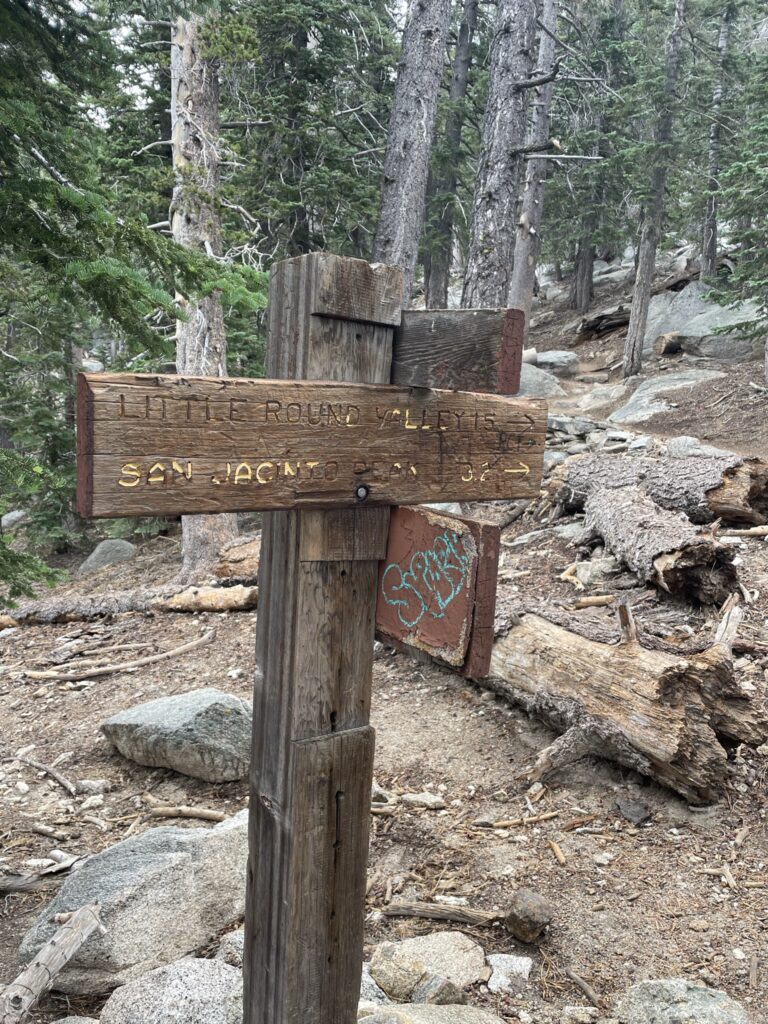
Overnight Camping Permits: Overnight camping permits are required for the federal wilderness area. These permits are separate from the State wilderness permits. Camping is limited to specific zones: Chinquapin, Skunk Cabbage, Tahquitz, North Rim, and Desert View (for a map and more info on these camping zones click here). Permits are free, and can be obtained at the ranger district office, or can be obtained in advance by filling out and mailing in this application. You can call the ranger district at (909) 382-2921 for details and availability, or permits can be obtained in person at the following locations:
- San Jacinto Ranger District – 54270 Pine Crest, Idyllwild, CA 92549. Self-issued permits are available outside of the main doors.
Camping Rules: Visitors must camp at least 100 feet away from trails, water sources, meadows, and other campers. It is encouraged to use existing camping spots instead of creating a new one, when possible. Camping group size is limited to 12 people.
Campfires: No campfires are allowed. Only backpacking stoves are permitted. You must obtain a free California Campfire permit.
Dogs: Allowed on a leash.
Regulations For The Mount San Jacinto State Wilderness (California State Parks)
Day Use Hiking Permits: A day use permit is required to enter the State Wilderness Area. Permits are free and are available 24 hours at specific locations. You must fill out the permit, submit it in the designated drop box, and carry the carbon copy with you. Any day use permit from the federal agency is honored by the State agency, and vice versa. Day use permits can be obtained in person at the following locations:
- Mount San Jacinto State Park Headquarters – 25905 Hwy 243, PO Box 308, Idyllwild, CA 92549-0308. Self-issued permits (excluding the Devil’s Slide) are available outside of the main doors.
- Stone Creek Campground located on Dark Canyon Road. Self-issued permits (excluding the Devil’s Slide) are available on the information board upon entering the campground.
- Long Valley Ranger Station – This station is located at the top of the Palm Springs Aerial Tramway. Self-issued permits (excluding the Devil’s Slide) are available outside of the main doors.
Overnight Camping Permits: Overnight camping permits are required for any camping in the Mount San Jacinto State Park. These permits are separate from the federal wilderness permits. They are subject to availability as there are only a few designated sites in the State wilderness. Permits cost $5, and can be obtained in person at the ranger and State Park offices, or can be mailed in advance to the ranger station by filling out this application. Overnight permits can be obtained in person at the following locations:
- Mount San Jacinto State Park Headquarters – 25905 Hwy 243, PO Box 308, Idyllwild, CA 92549-0308. Self-issued permits (excluding the Devil’s Slide) are available outside of the main doors.
- Stone Creek Campground located on Dark Canyon Road. Self issued permits (excluding the Devil’s Slide) are available on the information board upon entering the campground.
- Long Valley Ranger Station – This station is located at the top of the Palm Springs Aerial Tramway. Self issued permits (excluding the Devil’s Slide) are available outside of the main doors.
Camping Rules: Visitors can only camp in designated sites marked with an official post. Camping group size is limited to 15 people.
Campfires: No campfires are allowed. Only backpacking stoves are permitted in designated camping areas. You must obtain a free California Campfire permit.
Dogs: Not allowed.
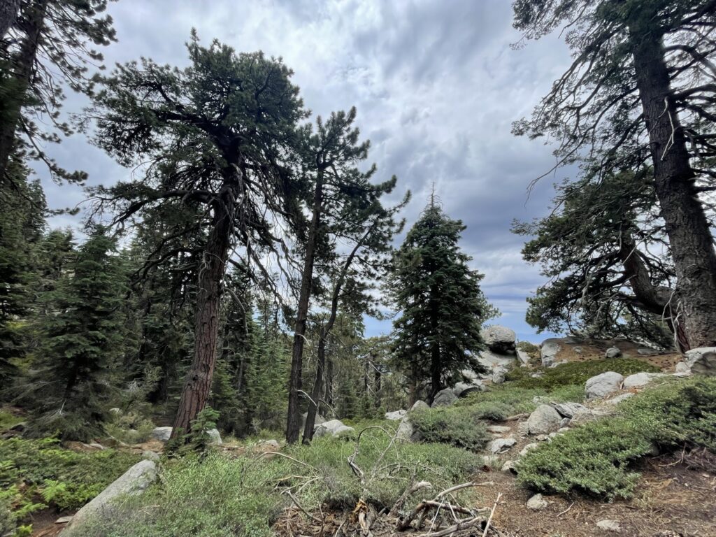
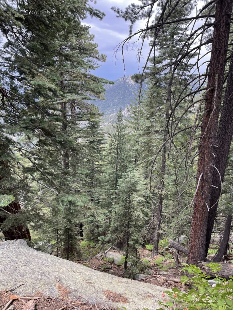
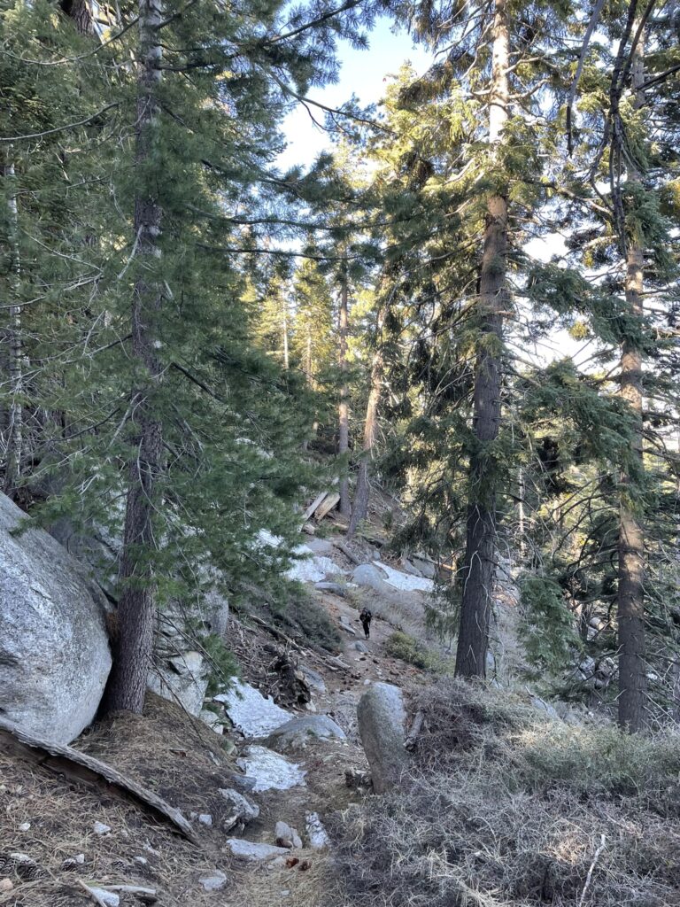
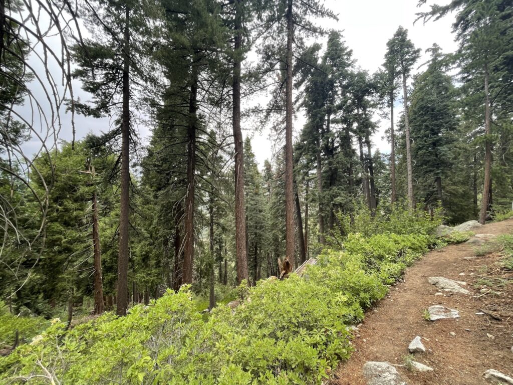
Hiking Trails In The San Jacinto Wilderness
Hiking in San Jacinto will lead you to some of the most impressive natural scenery in the Southern California region. San Jacinto peak is the crown jewel of the area at 10,834 feet, and is no small task so please prepare accordingly and ensure you are equipped to handle the challenge. As explained above, the San Jacinto mountains are shared between multiple agencies with varying regulations, so it is important to understand which trails require permits, and those that do not.
Trails That Do Not Require Permits
- Ernie Maxwell Scenic Trail: 2.6 miles, one way. 700 feet elevation gain.
- Cactus Springs Trail: 15 miles, one way. 6870 feet elevation gain.
- South Fork Trail: 2.5 miles, one way. 220 feet descent, 1000 feet elevation again.
- Cahuilla Mountain Trail: 2.5 miles, one way. 1120 feet elevation gain.
- Suicide Rock Climber’s Trail: 0.5 miles, one way. Primarily used to access rock climbing areas. Crosses private property – be respectful.
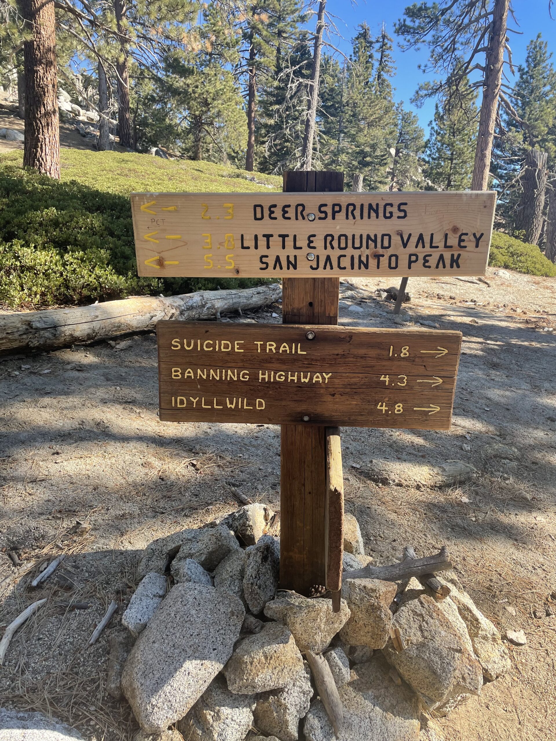
Trails That Require Permits
- Devil’s Slide Trail: 2.5 miles, one way. 1700 feet elevation gain. This trail has a limited number of permits issued each day.
- Deer Springs Trail: 2.3 miles, one way. 1280 feet elevation gain.
- South Ridge Trail: 3.6 miles, one way. 2400 feet elevation gain.
- Marion Mountain Trail: 5.6 miles, one way. 4,500 feet elevation gain.
- Spitler Peak Trail: 5 miles, one way. 2040 feet elevation gain.
- Seven Pines Trail: 3.8 miles, one way. 2360 feet elevation gain.
- Fuller Ridge Trail: 5 miles, one way. 1220 feet elevation gain.
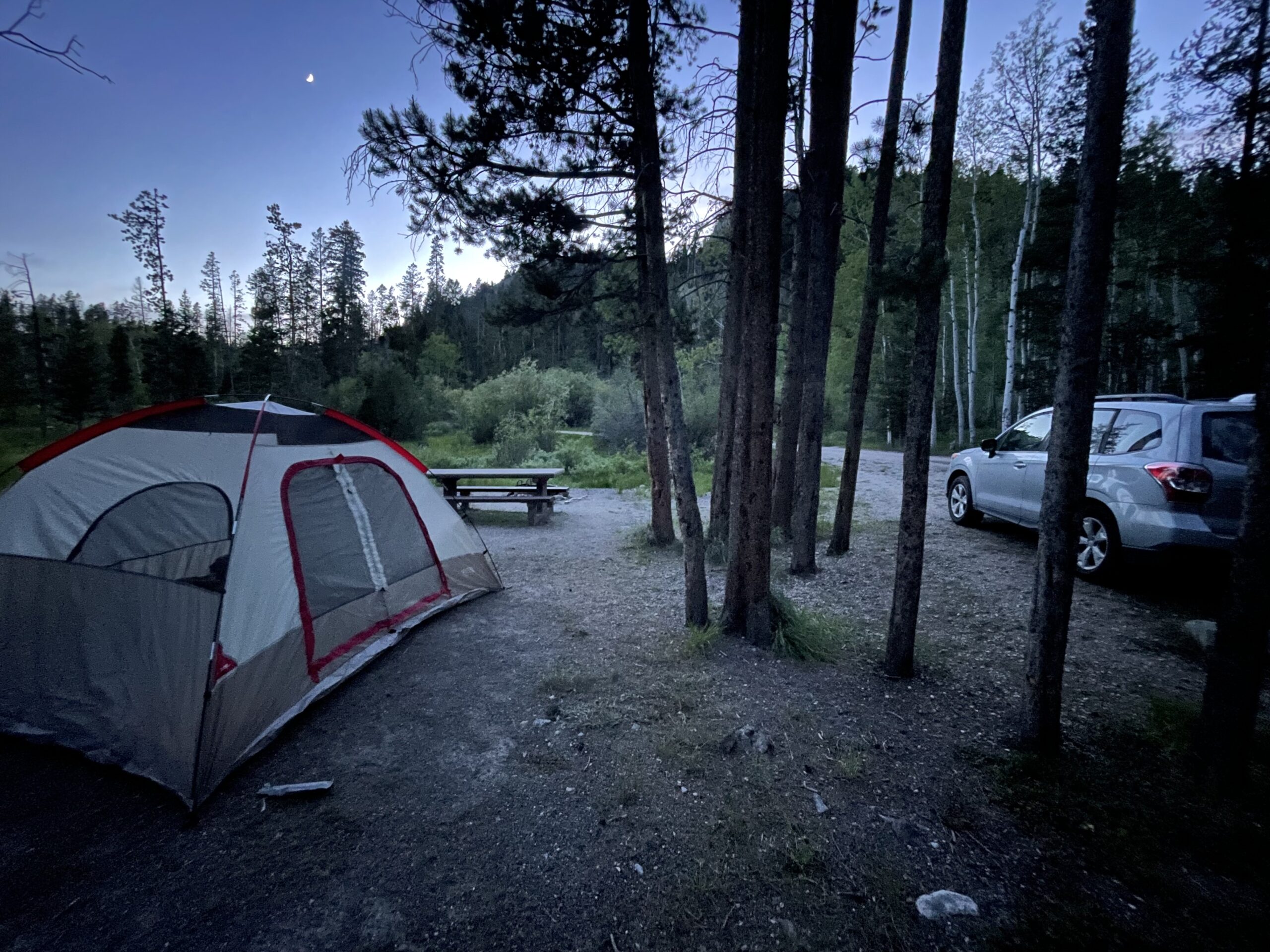
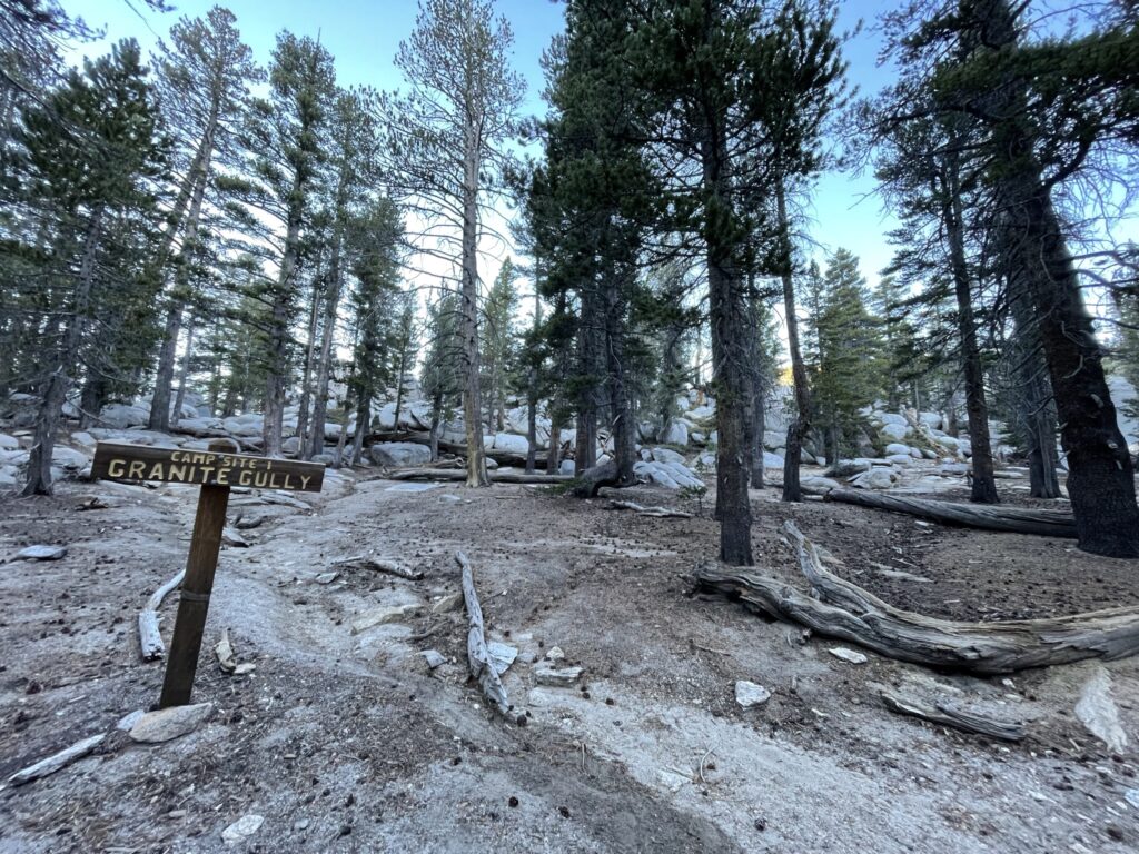
Campgrounds In The San Jacinto Wilderness
Camping in San Jacinto is one of the best ways to experience the full natural splendor of the area. Multiple campgrounds exist in beautiful settings with easy access to the network of trails, but they do book up quickly during the busy season so plan accordingly.
San Jacinto Wilderness Campgrounds (San Bernardino National Forest)
Reservations are recommended to be made in advance on www.recreation.gov. You can also pay for a site upon arrival, although we do not recommend this as sites do book up quickly.
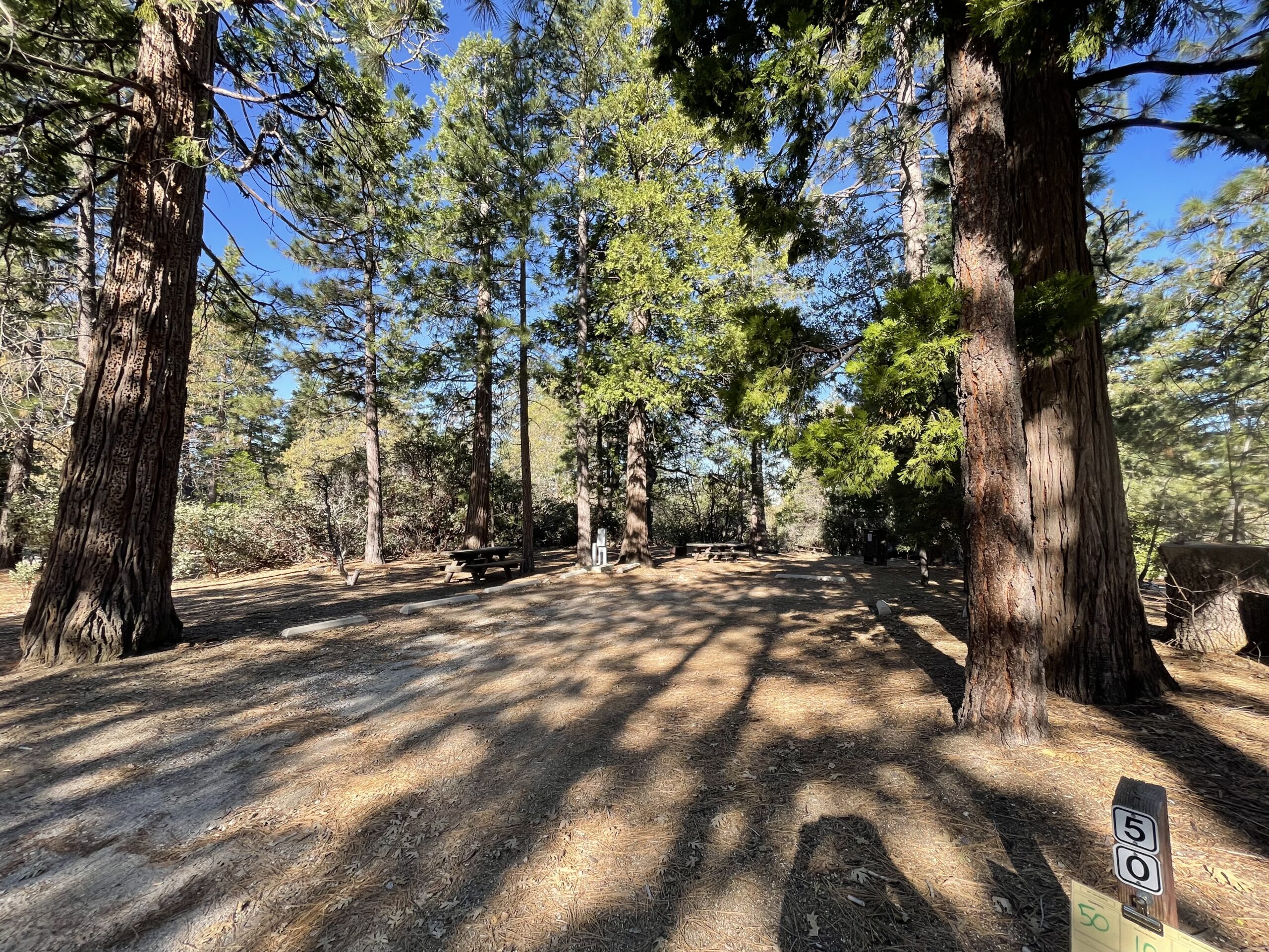
Marion Mountain Campground: 25 sites available. Vault toilets on site. Campfire rings available. Water is available, but confirm with campground first.
Fern Basin Campground: 21 sites available. Vault toilets on site. Campfire rings available. Water is available, but confirm with campground first.
Dark Canyon Campground: 17 sites available. Vault toilets on site. Campfire rings available. Water is available, but confirm with campground first.
Boulder Basin Campground: 34 sites available. Vault toilets on site. Campfire rings available. Water is not available at this campground – please bring your own. Road to this campground is difficult and requires 4WD.
Black Mountain Group Campground: This is a single campground for large groups that can accommodate up to 100 guests. Vault toilets on site. Campfire rings available. Water is not available at this campground – please bring your own.
Mount San Jacinto State Wilderness Campgrounds (California State Parks)
Reservations are recommended to be made in advance on www.reservecalifornia.com. You can also pay for a site upon arrival, although we do not recommend this as sites do book up quickly.
Stone Creek Campground: 44 sites available. Vault toilets on site. Campfire rings available. Water is available, but confirm with campground first.
Idyllwild Campground: 28 sites available. Vault toilets on site. Coin operated showers available. Campfire rings available. Water is available, but confirm with campground first.
Backpacking In The San Jacinto Wilderness
Overnight permits are required for all backpacking in the San Jacinto Wilderness Areas, both State and federal (see above for information on how to obtain permits). As expected, this is a great way to escape the crowds and immerse yourself fully in the beautiful San Jacinto Wilderness.
Backpacking In The San Jacinto Wilderness (San Bernardino National Forest)
The federal wilderness area allows dispersed camping, although regulations and ethics codes that must be followed. Campers must camp at least 100 feet away from trails, water sources, meadows, and other campers. It is highly encouraged to use existing camping spots instead of creating a new one – look for existing clearings and obvious places where other campers have been. Camping group size is limited to 12 people. Campfires are not allowed. Stoves only.
Backpacking In Mount San Jacinto State Wilderness (California State Parks)
In the State wilderness there is no dispersed camping. You can only camp in designated areas established by California State Parks. Sites are limited and have a quota each night. Campfires are not allowed, stoves only.
Strawberry Junction Campground: 3 primitive sites are available. Vault toilets located on site. No water available except in creeks and natural sources.
Round Valley Campground: 19 primitive sites are available. Vault toilets located on site. Water spigot available (but may run dry depending on season).
Little Round Valley Campground: 6 primitive sites are available. Vault toilets located on site. No water available except in creeks and natural sources.
Tamarack Valley Campground: 8 primitive sites are available. Vault toilets located on site. No water available except in creeks and natural sources.
Maps And Navigational Resources
Navigating our public land system for trails and camping areas should only be done through officially registered agencies and maps. This includes trail maps, topographical maps, and MVUM’s (motor vehicle use maps) created by the governing agencies and/or supported by the governing agencies. We do not recommend using AllTrails, The Dyrt, or other crowd-sourced apps. GPS tracking is very helpful, but crowd-sourcing information on public lands is inherently dangerous as they are not always official trails registered by the USFS, NPS, BLM, State Parks, or other governing agencies. This can make SAR (Search and Rescue) very difficult, increases the risk of damaging fragile ecosystems, and often overlooks key principles and education on public lands, their regulations, and proper etiquette. Always carry a physical map, even in today’s digital age.
Below are several officially issued maps and navigational resources for the San Jacinto mountains and surrounding areas:
- San Jacinto Wilderness Map
- San Bernardino National Forest Map
- San Bernardino MVUM (Motor Vehicle Use Map) from Avenza
- San Bernardino National Forest Atlas
History Of People In The San Jacinto Mountains
The San Jacinto Mountains and surrounding Coachella Valley were first inhabited by the Cahuilla People beginning over 3000 years ago. In total there are nine Cahuilla Nations which include the Augustine Band of Cahuilla Indians, Torres Martinez Desert Cahuilla Indians, Cabazon Band of Mission Indians, Agua Caliente Band of Cahuilla Indians, Morongo Band of Mission Indians, Cahuilla Band of Mission Indians, Ramona Band of Cahuilla Indians, Santa Rosa Band of Mission Indians, and the Los Coyotes Band of Cahuilla Indians. These nine nations are generally categorized into three major groups depending on their geographic location which includes the Desert Cahuilla, Mountain Cahuilla, and Western Cahuilla. All nine nations spoke the same Cahuilla language and practiced similar customs and lifestyles.
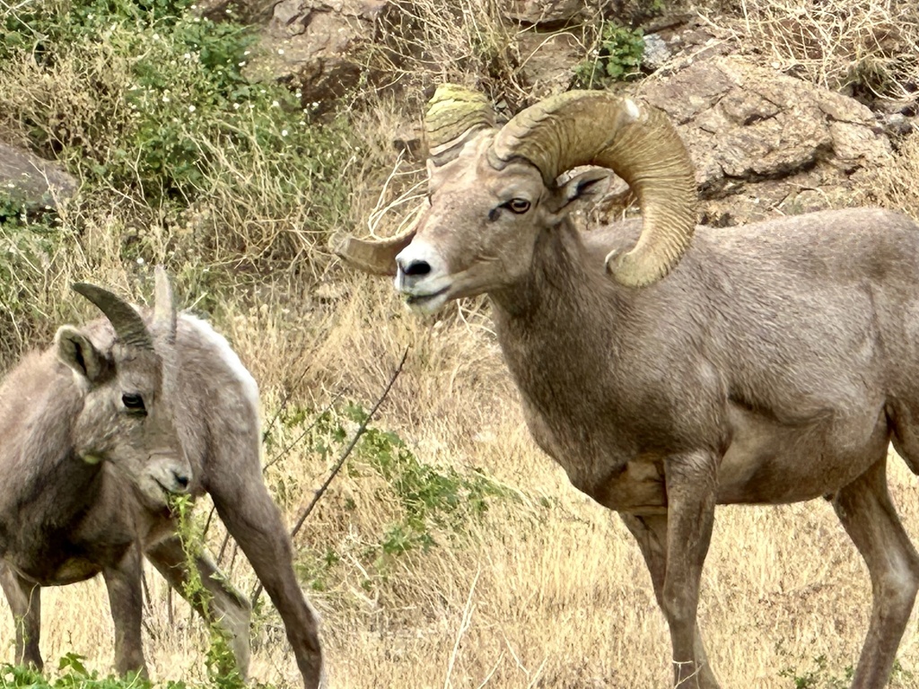
Subsisting as hunter-gatherers, the Cahuilla Nations relied primarily on mesquite trees and the mesquite bean, agave, pinon nuts, and game animals such as rabbits, deer, and big horn sheep. The Desert Cahuilla were also highly skilled in gathering water – as they needed to be in that environment – by digging wells to reach the underground aquifers. To teach the language and share their history and creation, the Cahuilla Nations use stories and songs called “Bird Songs,” as they were often told through the perspective of a bird. However, this language has been all but lost in today’s world, as a census in the early 90’s determined that only a few dozen people speak the traditional Cahuilla language anymore.
While Europeans had passed through the Southern California area in the mid-16th century, it was not until the late 18th century that Spanish explorers had a more permanent and dominating presence in the San Jacinto region, establishing missions and ranches in their wake. According to various records of white settlers and the Cahuilla Peoples themselves, the Cahuilla population was estimated to be between 6000 and 15,000 individuals in the late 18th century. By 1846 the United States gained control of California and quickly pursued permanent settlements which was strongly driven by the California Gold Rush, the Homestead Act of 1862, and the federal land grants given to railroad companies to construct the Southern Pacific Railroad.
As with all westward expansion by the US government many negotiations and treaties were had with native populations, either falsified from the start or ultimately dismissed, supporting the forceful remove of native populations from their land. The Treaty of Temecula (aka Treaty K) directly affected the Agua Caliente band of Cahuilla, Ramona band of Cahuilla, Pechanga band of Luiseno, and San Manual band of Mission Indians. Submitted to the senate on June 1, 1852, it would have given (back) the rights of the entire San Jacinto Mountain range to the Native tribes. However, it was rejected by the Senate and ordered to be locked up in secrecy for 50 years, forcing the native tribes into nearby reservations. This treaty is now on display at the Smithsonian Museum of the American Indian. And as with many Native populations, the Cahuilla suffered tremendous losses from a smallpox epidemic in 1863 that decimated nearly 80% of their population. Today, the nine Cahuilla Nations are growing and have nearly 3,000 registered members. Please find more about the history and culture of the Cahuilla people here.
Following the failed Treaty of Temecula and the California Gold Rush, the San Jacinto area began to see major non-native settlement in the 1860s which included miners, prospectors, ranchers, and loggers. And as part of the public domain, these lands saw an immense amount of resource extraction and destruction. The US government recognized that in general this use of America’s public lands was no longer a sustainable method of resource management and it authorized the creation of the Forest Reserve System in 1891 (now the National Forest Service). The goal of the Forest Reserve was to protect the land for public use, i.e. close it off to the unnecessary extraction and sale of resources. Soon afterwards president William McKinley created the San Jacinto Forest Reserve in 1897, protecting thousands of acres of forests and watersheds in the area. Now the concepts of conservation and preservation were taking on considerable political importance and influence, ultimately leading to the protection of Southern California’s premier mountain landscapes.
In pursuit of protecting these amazing mountain landscapes, both the State of California and the federal government ensued in decades of negotiations and land swaps to establish their own wilderness areas. This ultimately led to the creation Mount San Jacinto State Park in 1933 (open to the public in 1937), and the San Jacinto Wilderness (managed by the USFS) in 1964. At the time, over 12,000 acres of this land was purchased from the Southern Pacific Railroad to help create the wilderness areas with the State Parks and USFS agreeing to not create any more roads or privatization of the lands for the sake of its natural and scenic value. To this day the town of Idyllwild and the surrounding San Jacinto mountains are a premier destination for tourism, camping, and outdoor adventures with over 800,000 acres protected as public land. Had efforts not been made to do so, this land would all be privatized and subject to extreme resource extraction and development.
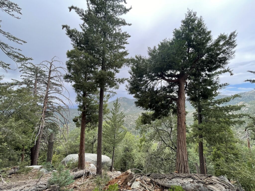
Natural World Of The San Jacinto Mountains
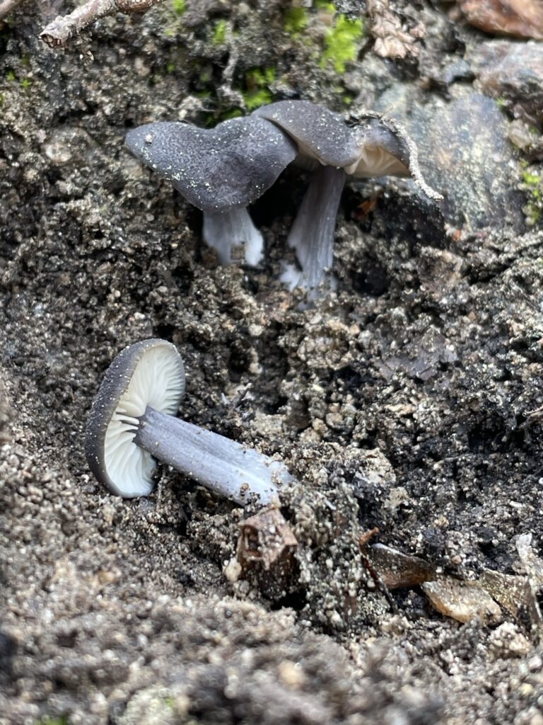
Local Flora
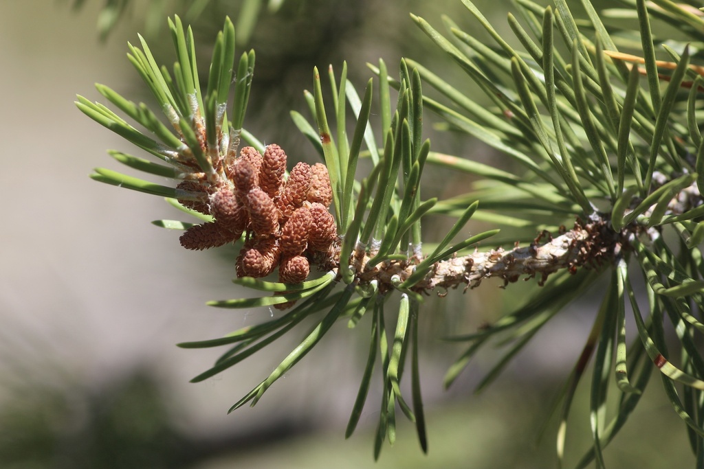
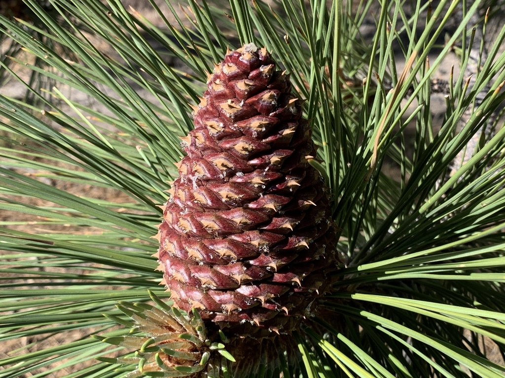
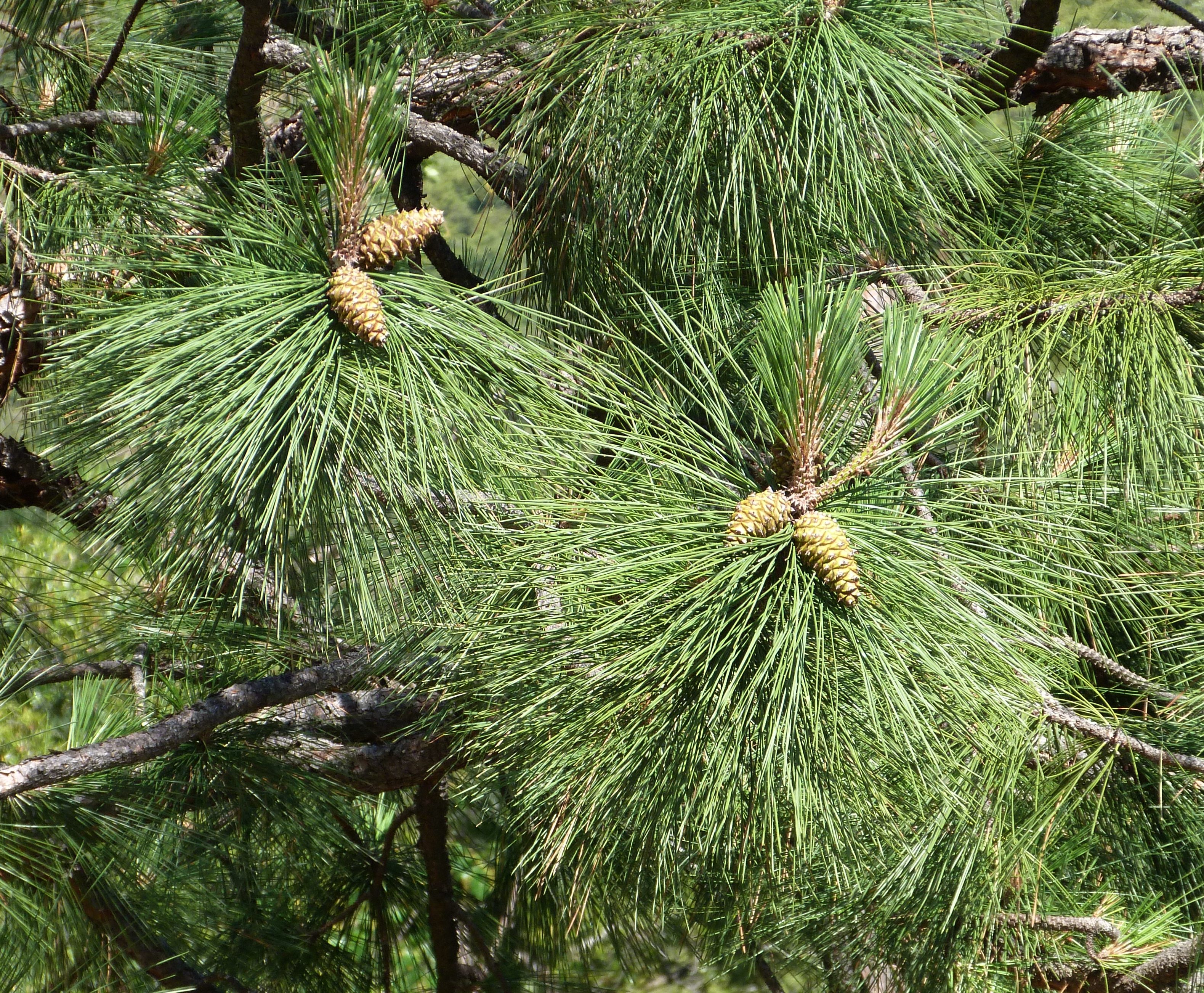
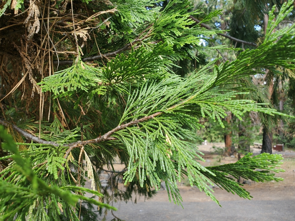
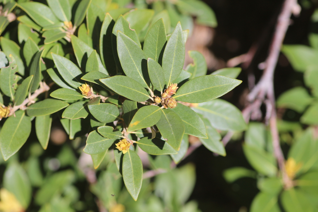
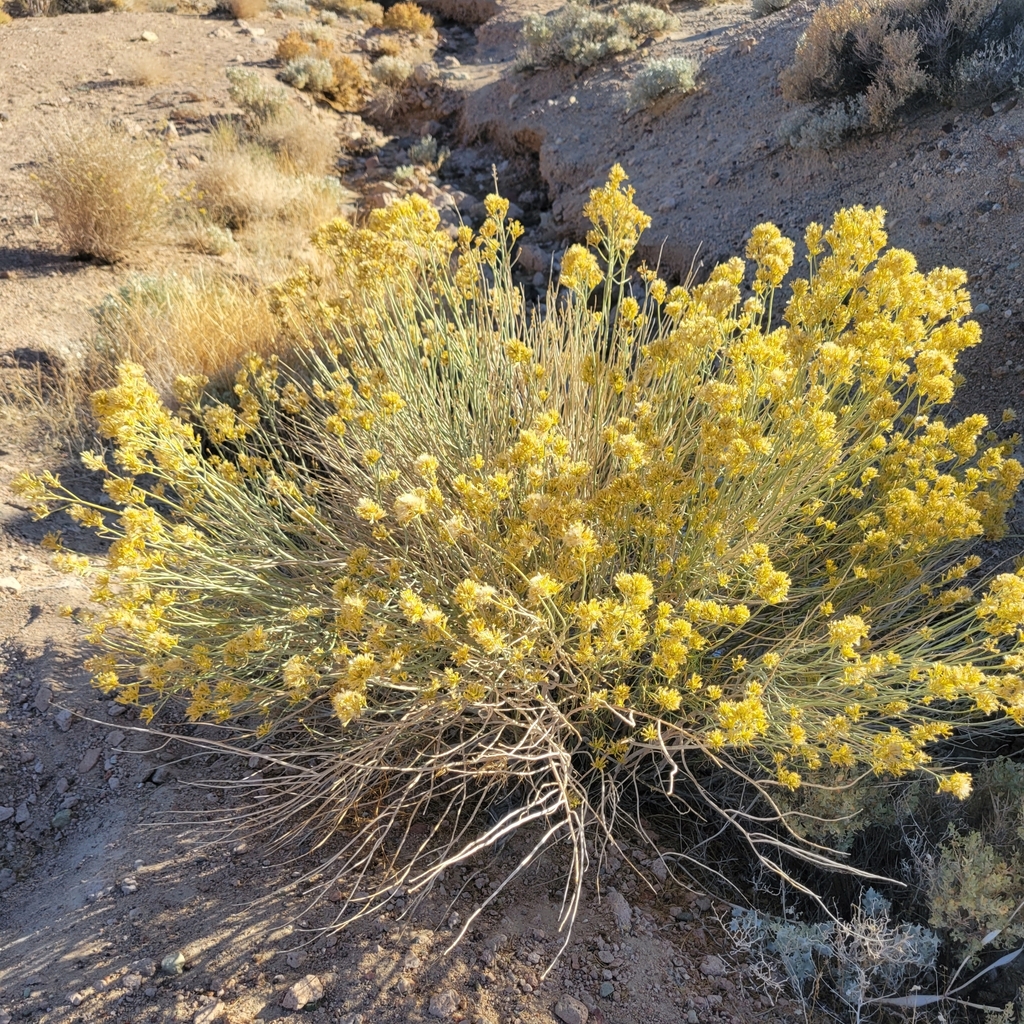
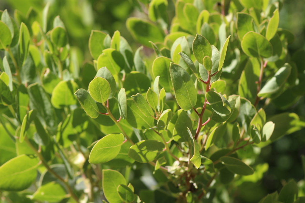
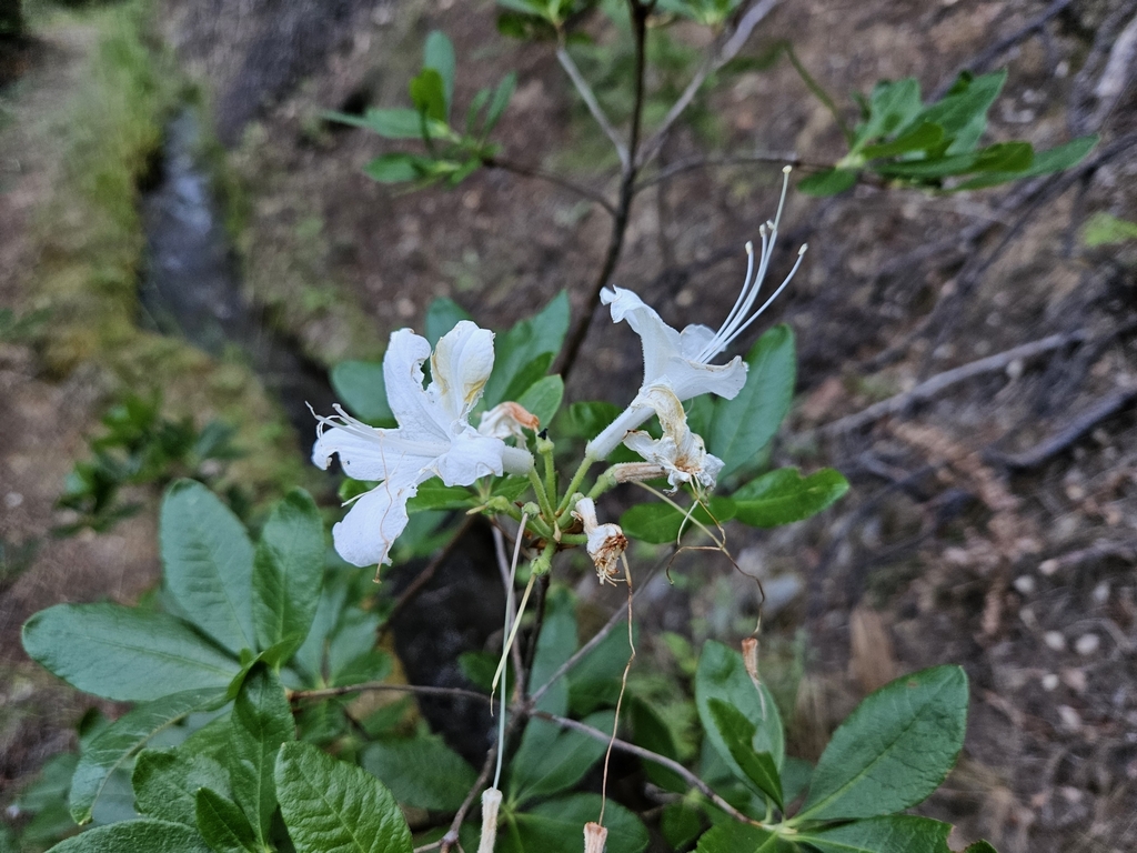
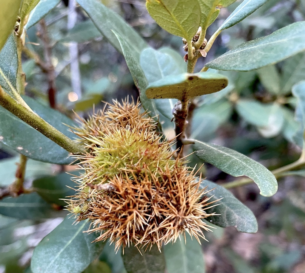
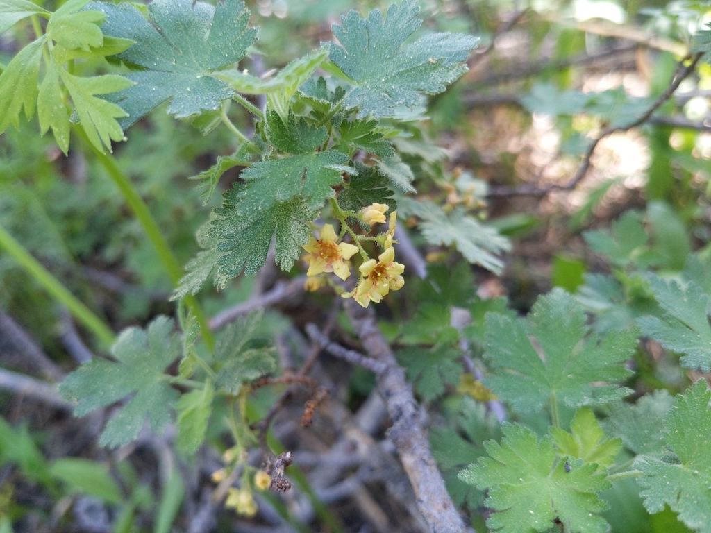
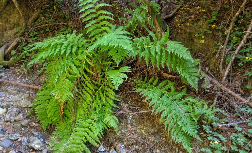
Other flora includes: Sugar pine, coulter pine, arroyo willow, California black oak, inland scrub oak, Scouler’s willow, Parish’s snowberry, pink-bracted manzanita, Sierra gooseberry, mountain gooseberry, mountain maple, mountain holly fern, parsley fern, western bracken fern.
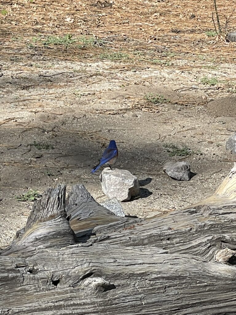
Local Fauna

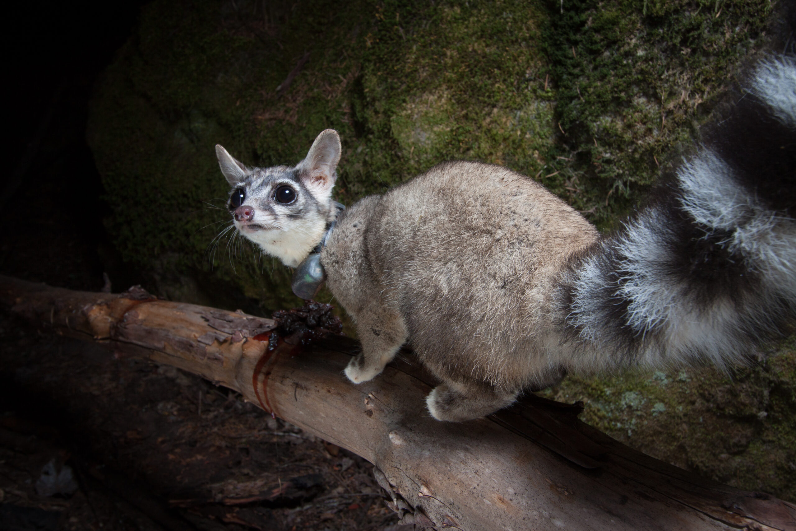
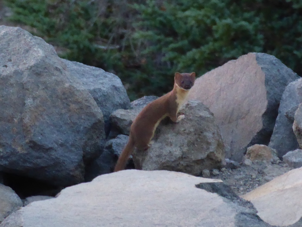
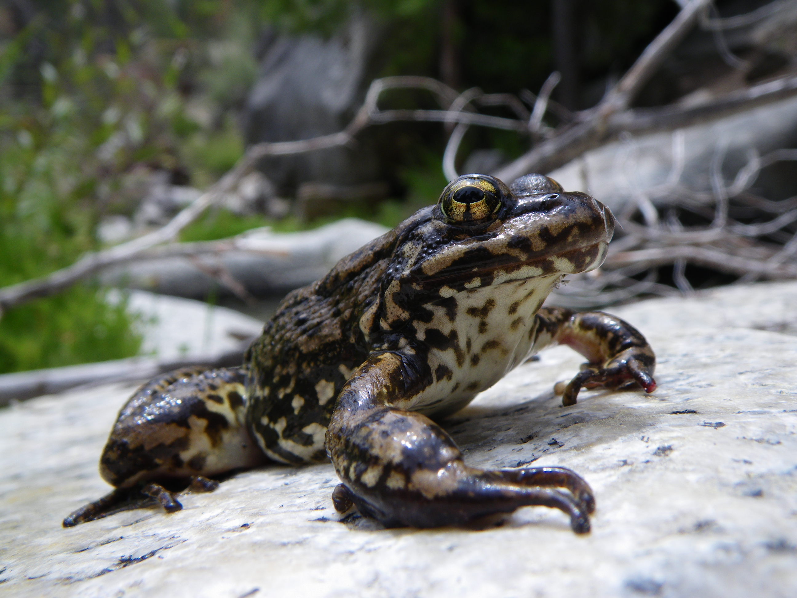
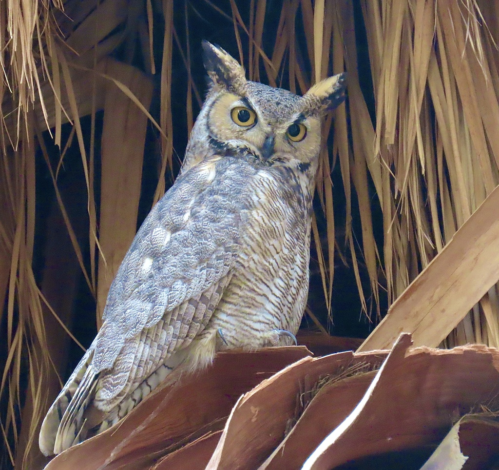
Other fauna includes: Gray fox, opossum, raccoon, deer mouse, California ground squirrel, hoary bat, California bat, American kestrel, American robin, red-tailed hawk, Cooper’s hawk, golden eagle, dark-eyed junco, mountain chickadee, Anna’s hummingbird, red cross bill, spotted towhee, ensatina salamander, granite night lizard, California tree frog, western fence lizard, southern rubber boa, California kingsnake, Southern Pacific rattlesnake, ringneck snake.
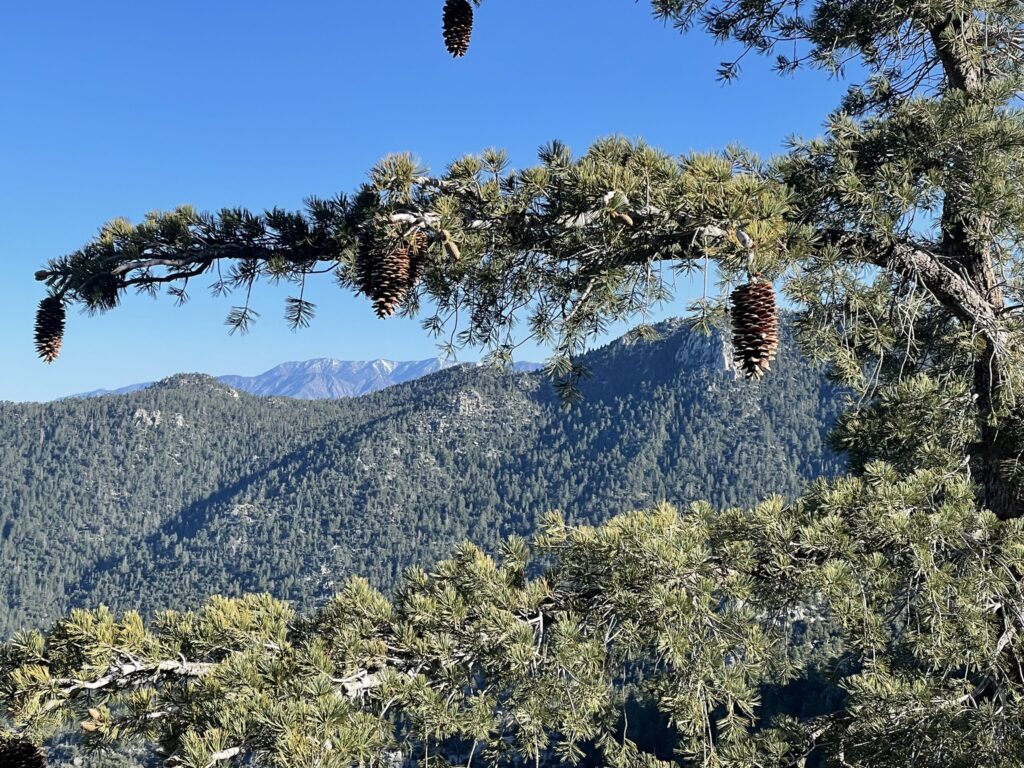
Geology Of The San Jacinto Mountains
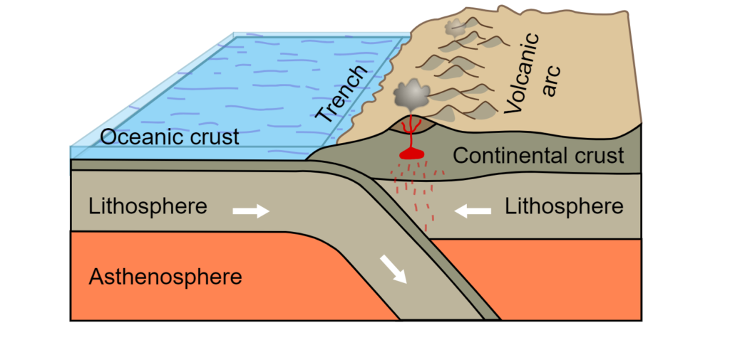
The San Jacinto mountains are the northern terminus of the Peninsular Mountain Range, which extends all the way down to the tip of the Baja peninsula for 900 miles. San Jacinto peak is the tallest mountain peak in this range with an elevation of 10,834 feet. Before the impressive mountain ranges were created, the western edge of the United States was a relatively quiet geological zone for several hundred million years, with little volcanism or geological activity occurring. Once the supercontinent of Pangaea began to break apart around 200 million years ago the North American plate began to move westward, causing the Farallon plate of the Pacific Ocean to subduct underneath.
This created a whirlwind of geologic activity including volcanism, resulting in massive volumes of magma surfacing the earth’s crust. Eventually, this magma production ceased and the magma began to cool, forming the initial foundations of the mountain ranges we have out west. As the magma cooled it was exposed and battered down by the rain, wind, and the weather of earth, ultimately creating the Peninsular Range that we know today. For a more detailed explanation of the geological history of the San Jacinto mountains and surrounding ranges, read this article by the Mount San Jacinto History Association.
The Importance Of The San Jacinto Mountains On The Surrounding Areas

Watershed Protection: A watershed is an area of land that channels snowmelt and rain into creeks, streams, and rivers that ultimately feed lakes and reservoirs. The San Jacinto River watershed is fed by the 42-mile long San Jacinto river and its many tributaries, covering an area of 780 square miles. This ultimately feeds into Canyon Lake Reservoir (manmade), and Lake Elsinore which is the largest natural freshwater lake in Southern California. Overall, the San Bernardino Forest produces as much as 111 billion gallons of water per year. Proper management and maintenance of a watershed ensure that nutrient rich waters are available for wildlife and humans alike, used for safe drinking water, irrigation, and other critical needs. Seeing as how California is a drought-stricken state, particularly in the south, this watershed is essential to the well-being of Southern California.
Forest Protection: The San Jacinto mountains lie in the San Bernardino National Forest, one of the four national forests located in Southern California. This southern range of forest boasts some of the most ecologically diverse plant and animal life of any region in the continental United States. Forests clean the air, produce oxygen, serve as wildlife habitats, prevent erosion and flooding, and can provide clean and sustainable resources when harvested and managed properly.
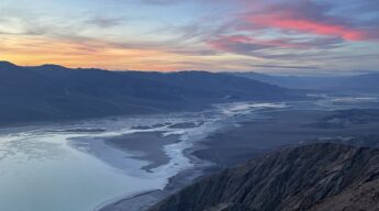
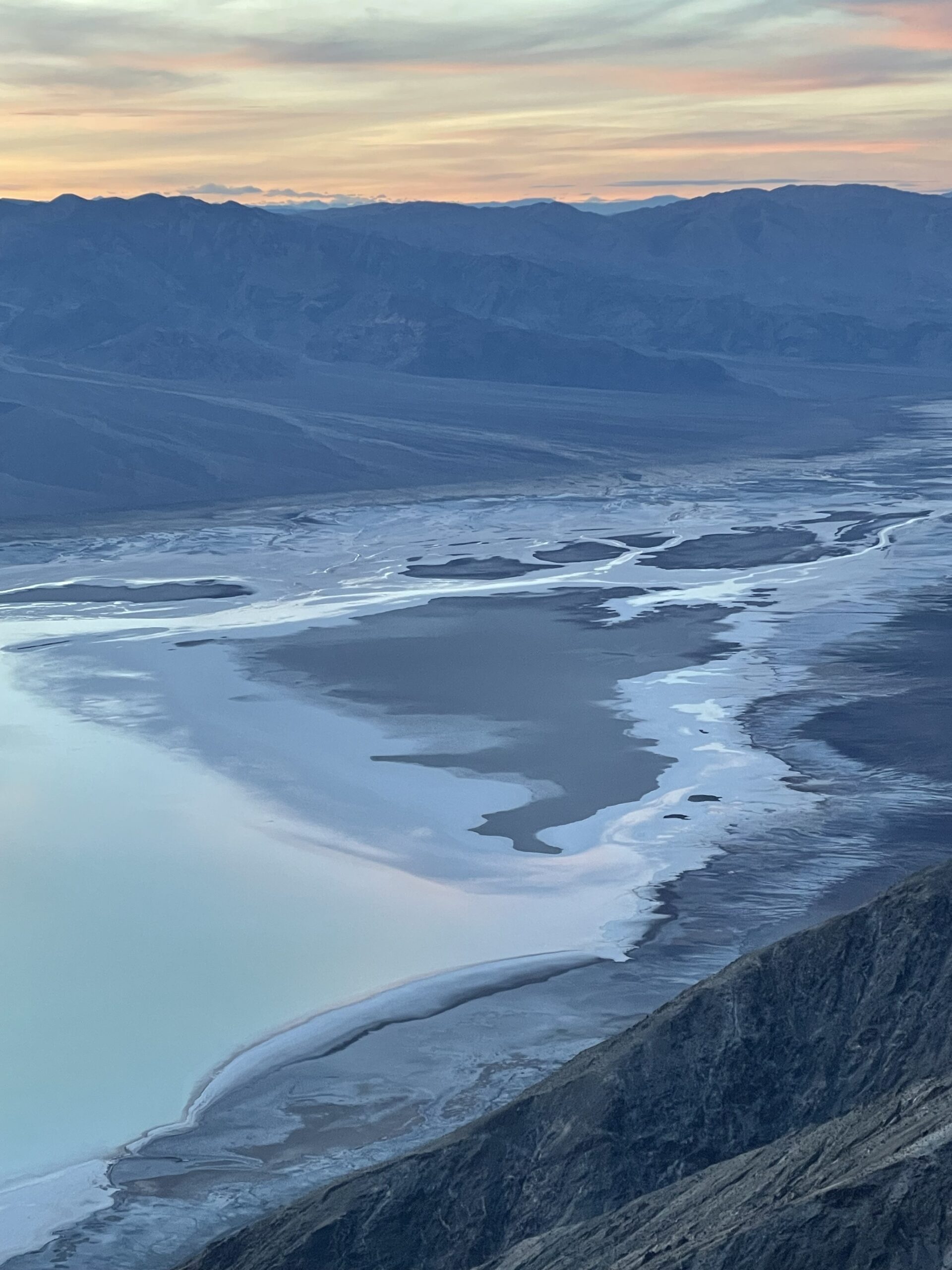
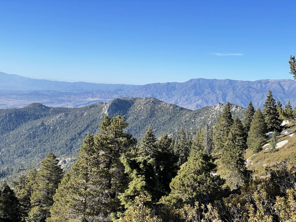
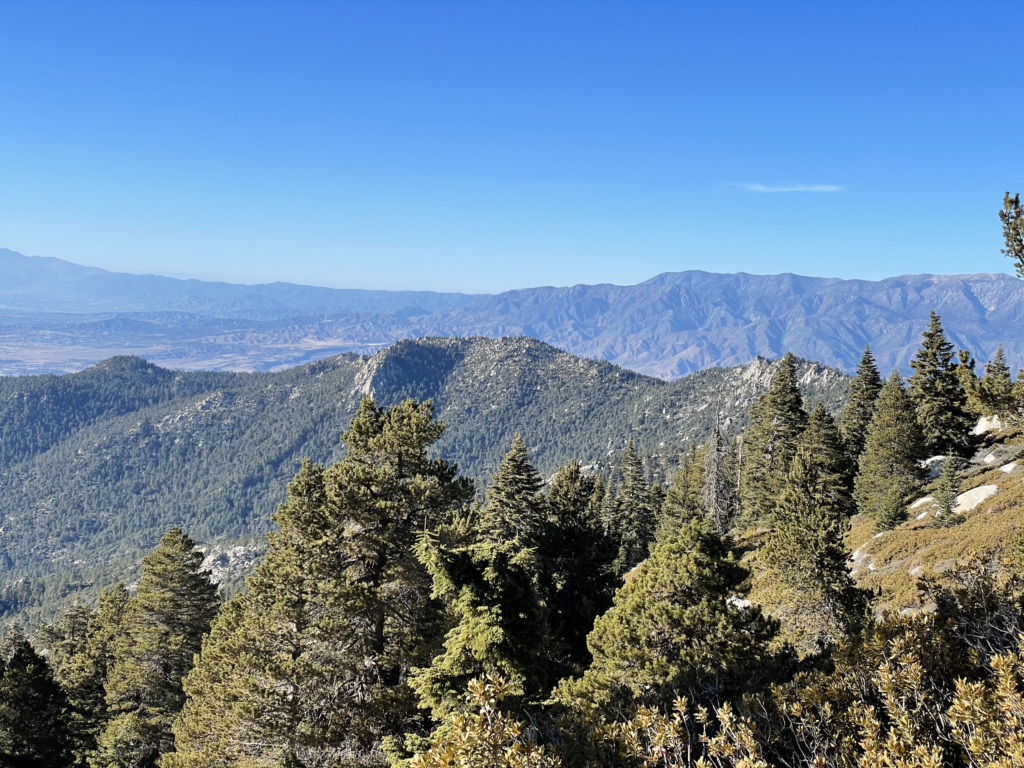
Clean Air: Some of the most polluted air in California and the nation is found in the Los Angeles basin on the western side of the San Jacinto mountains, and the Coachella Valley on the eastern side of the mountains. Valleys between mountain ranges are notorious for bad air quality as the polluted air can easily settle in the lower elevations with little wind to help dispersal and replenishment. This polluted air and smog is caused by intense wildfires, new urban developments and sprawl, power plant installations, increased traffic and highways, and massive industrial shipping yards. This is evident from the peaks of San Jacinto and other vistas in the mountains: climb a peak and stare into the horizon of surrounding valleys and you will often have trouble seeing further than 50 miles. Curbing this pollution and traffic is a key factor in improving the air quality, but the San Bernardino National Forest is a major factor as well, sequestering nearly 17 million metric tons of carbon per year.
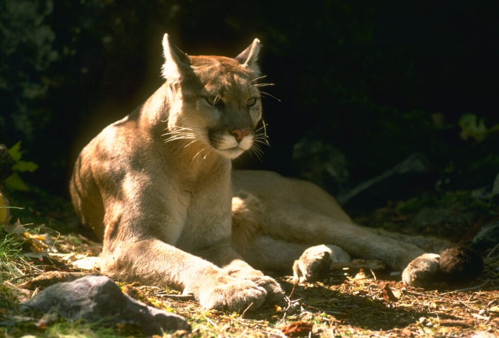
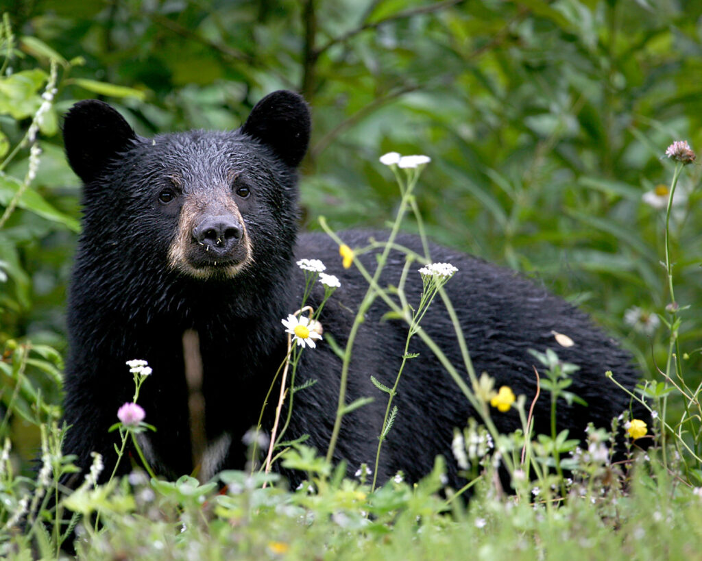
Wildlife Refuges And Habitats: The San Jacinto Mountains (as part of the San Bernardino National Forest) are home to over 27 endangered and threatened species. California once held the densest population of grizzly bears in the country (see the California State flag…) but overhunting and excessive development made them regionally extinct. To prevent the loss of any more iconic wildlife it is critical that we maintain these wild areas which serve as a home to mountain lions, black bears, and other incredible animal and plant species. Besides these natural areas, other important projects like wildlife corridors help keep maintain safe and expansive wildlife habitats.
Current Threats To The San Jacinto Mountains
Invasive Species And Plants: These can negatively alter the environment, out-compete local species, and cause unnatural predation of local species. Invasive species can be brought intentionally (agricultural goals, home gardens, exotic pets, etc.) or unintentionally (fungus or seeds attached to hikers boots from other areas, watercraft brought in from other areas, etc.). The San Jacinto mountains are no exception to these threats. Plants such as the tamarisk/salt cedar were introduced in the early 19th century as a windbreak, but they have significantly out-competed native species such as willow, cottonwood, and mesquite which are critical to healthy riparian zones in the San Jacinto mountains. Coordinated documentation, monitoring, and physical clean-up efforts are constantly employed to help reduce these threats and remove invasive species.
Wildfires: A constant threat in California. Wildfires can be natural, and can also be used as a tool to manage landscapes and prevent catastrophic fires, as has been done by native populations for millennia. However, modern day practices for wildfire mitigation have struggled to adapt to the extreme fires we see today, many of the worst ones caused by negligent human activity such as not putting out campfires, cigarette butts, and sadly even gender-reveal parties using fireworks (disgraceful). In 2013, the San Jacinto area faced the “Mountain fire” caused by an electrical malfunction on private property which burned for 16 days, consumed over 27,000 acres, utilized nearly 3500 firefighters, displaced over 6000 residents, and caused nearly $25 million in damages. The property owner was sued by Cal Fire for several million in damages.
Pollution: A constant issue that seems to be overshadowed by the broader issues of climate change, of which pollution is part of. Trash at campsites and hiking trails, human waste on trails, defacing trees and rocks, hazardous chemical waste, stormwater pollution, agricultural pesticides, and industrial pollution are all threats to the San Jacinto mountains. Water algae blooms from phosphorous and nitrogen runoffs, unsanitary water from septic system failures, fish die-offs, and bacterial contamination have all affected the San Jacinto mountains and watersheds. These are large problems to tackle, and individual mindfulness and contributions do make a difference.
Other Points Of Interest

Cactus To Clouds Hike
This is rated as one of the most difficult day-hikes in the world. Yes, the world. This is due to the extreme vertical gain, distance, exposure, heat, and the lack of water. You cannot camp on the trail. The hike is a total of 21 miles, and starts in Palm Springs, CA at an elevation of 476 feet and peaks at the top of San Jacinto Mountain at an elevation 10,834 feet. While many individuals can accomplish a 21+ mile day-hike, it is the elevation gain that people overlook as a critical risk factor for this hike. This hike should never be attempted in the summer or winter, and is only suitable for small windows of time in the spring or fall. Once you begin the hike there is no available water source until you reach the Long Valley Ranger Station at mile 10, roughly 8400 feet from the start. This is not a hike you randomly decide to tackle one day – you must sincerely train and prepare for this hike. For a detailed review on how and when to accomplish this hike, check out this excellent guide by “The Hiking Guy.”
Aerial Tramway From Palm Springs
For those who do not wish to tackle the world’s most difficult day-hike, you can take the Palms Springs Aerial Tramway up to the Long Valley Ranger Station in the Mount San Jacinto State Wilderness. This is a tram car on a cable and takes roughly 10 minutes each way, providing access to the many beautiful hiking trails and areas for camping in San Jacinto.
Pacific Crest Trail
The iconic PCT, a National Scenic Trail, runs through the San Jacinto Mountains. Day hikers can enjoy small sections of this trail, or if you are through-hiking (enjoy the journey), you will get to witness the beautiful landscape.
Dining Options
Unexpectedly for many there are a few dining options in the San Jacinto Wilderness. Not what nature lovers might want to hear, but it is there. And honestly, should you accomplish the Cactus to Clouds hike you will be glad for it. You have the Pines Cafe, Peaks Restaurant, Lookout Lounge and Cascade Cafe. For more information on these dining options please see here.
Garage 79
This gem of a bar is slightly out of the way but is well worth the stop should you be driving to, or from, the San Jacinto Wilderness. Located in Warner Springs, CA, this beer garden serves the ice-cold beer you need after a hike, usually with a delicious food truck on site. Garage 79 is well worth the stop, highlighting the quintessential California desert landscape in a retrofitted gas station.
Final Thoughts On The San Jacinto Wilderness
These mountains are a true wild alpine and desert refuge from the urban environment that envelops us all. Get out there, respect it, enjoy it, and take the utmost care to preserve and protect this area. It is one of the few natural places we have in Southern California, and one of the few refuges that wildlife can call home anymore.
To better understand our public lands and how to explore them, check out our articles What are America’s public lands?, How To Explore the Public Lands in America, and Why America’s Public Lands Are Important for Everyone.
Enjoy the journey – J. Wasko
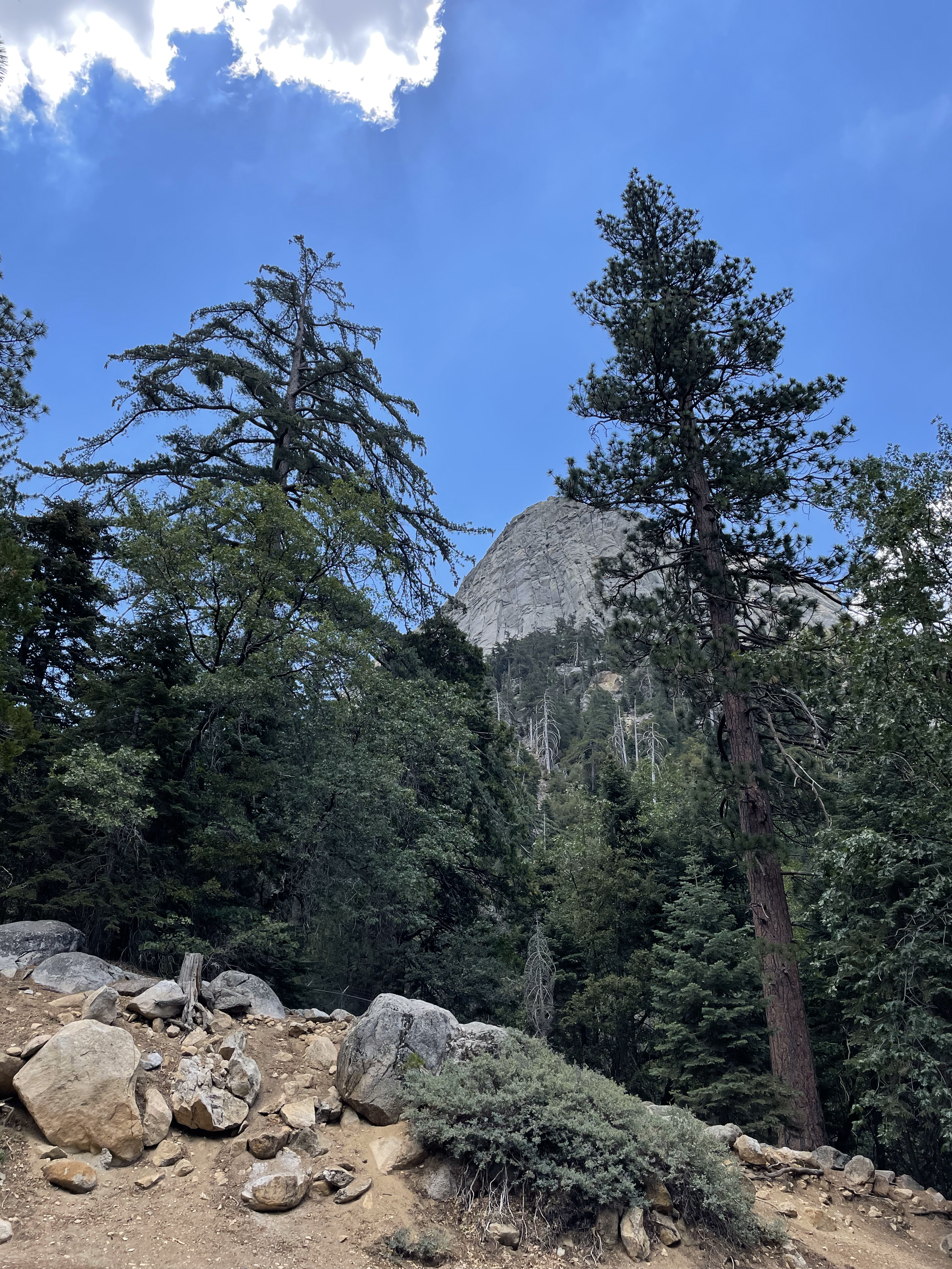
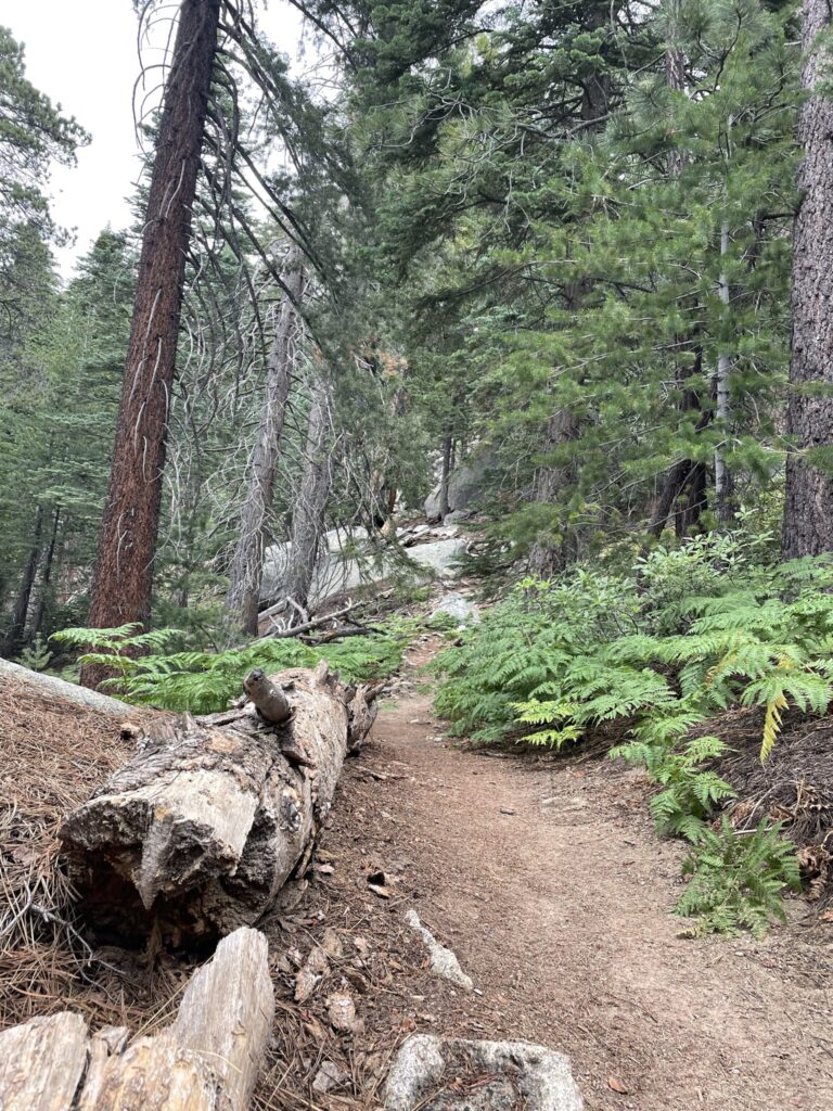
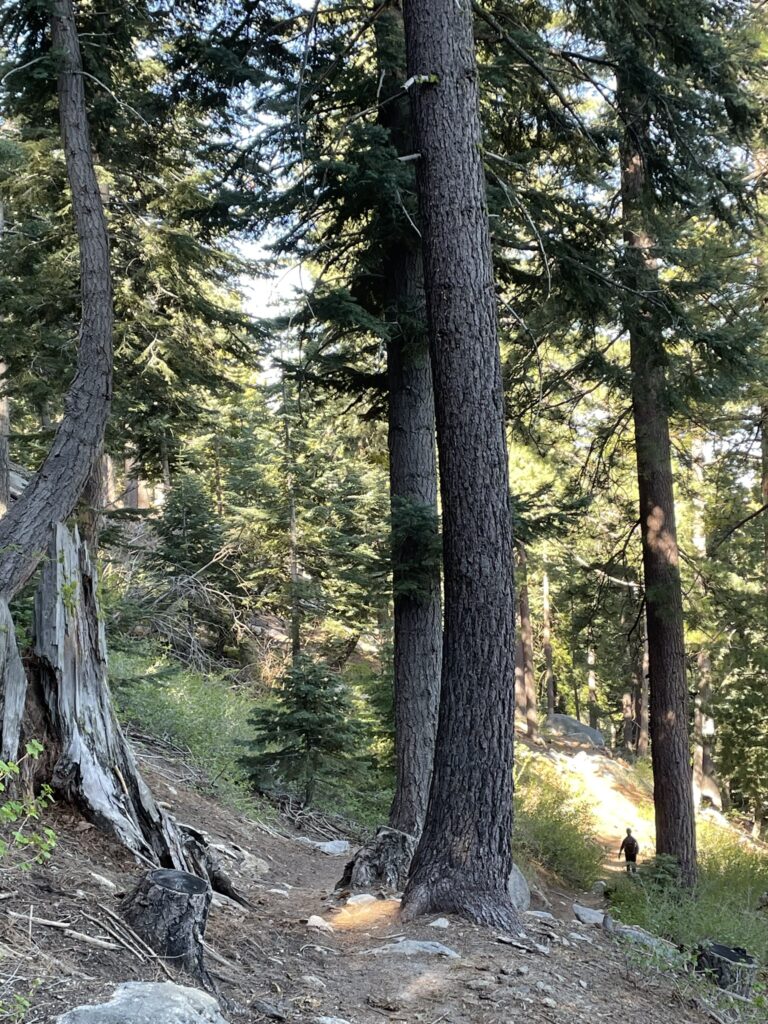
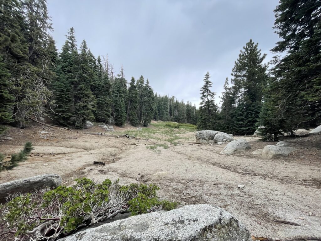
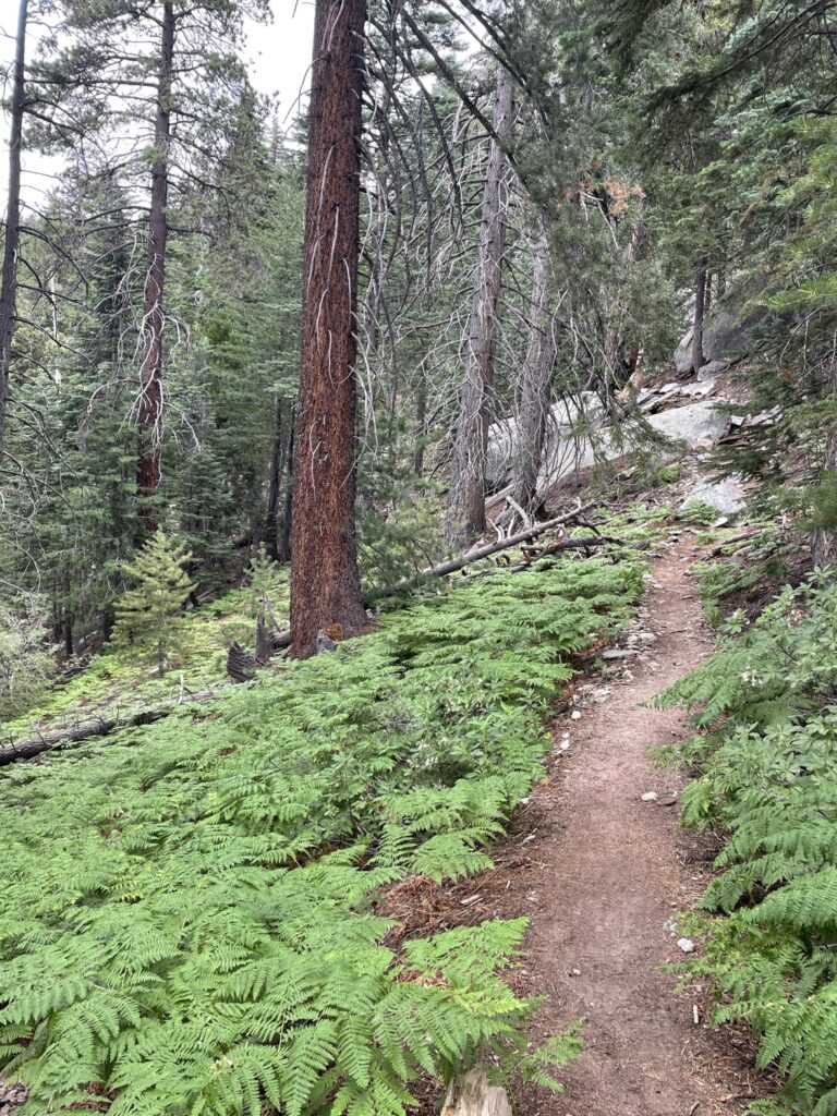
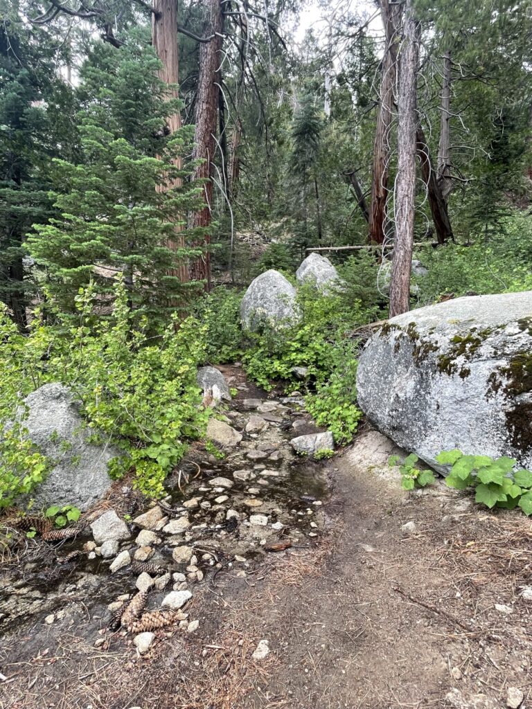
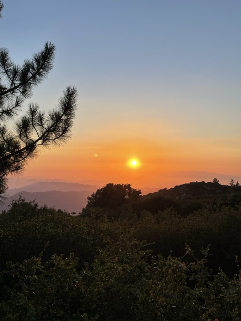
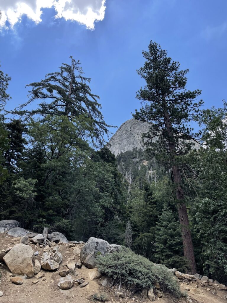
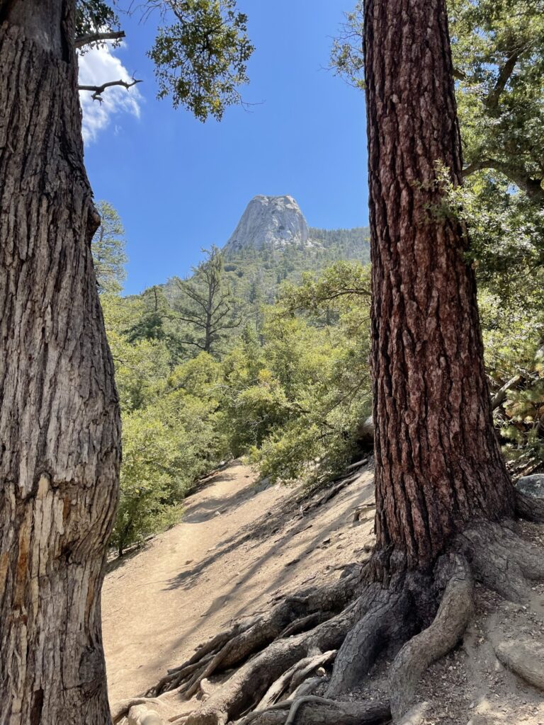
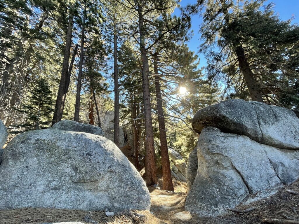
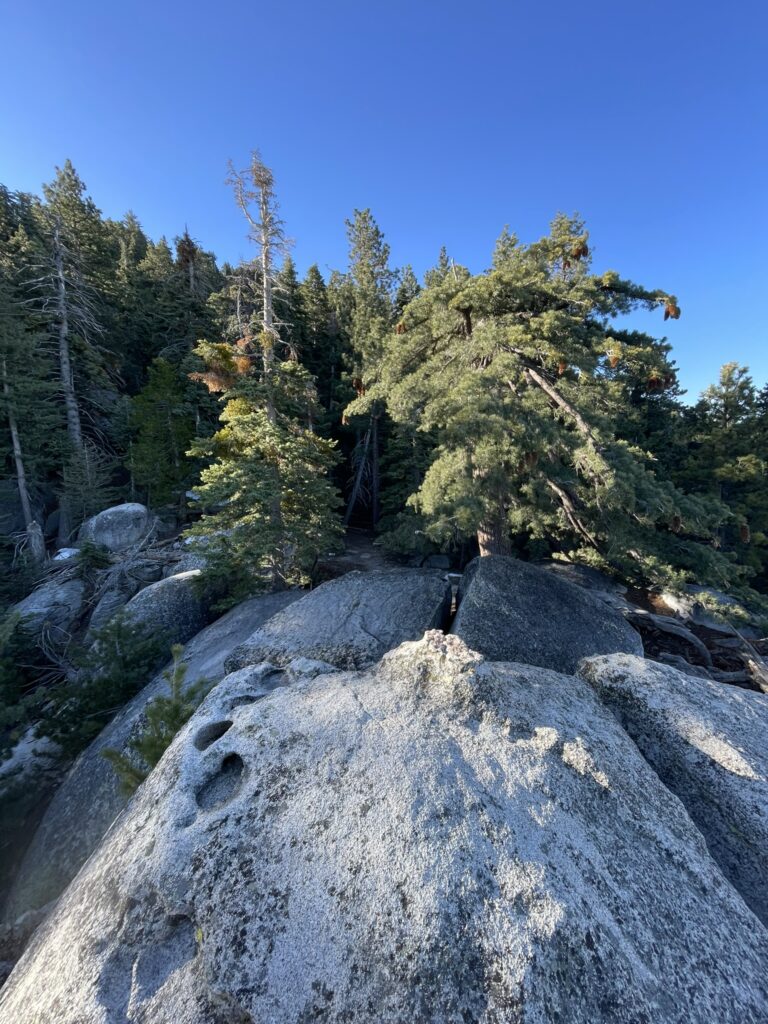
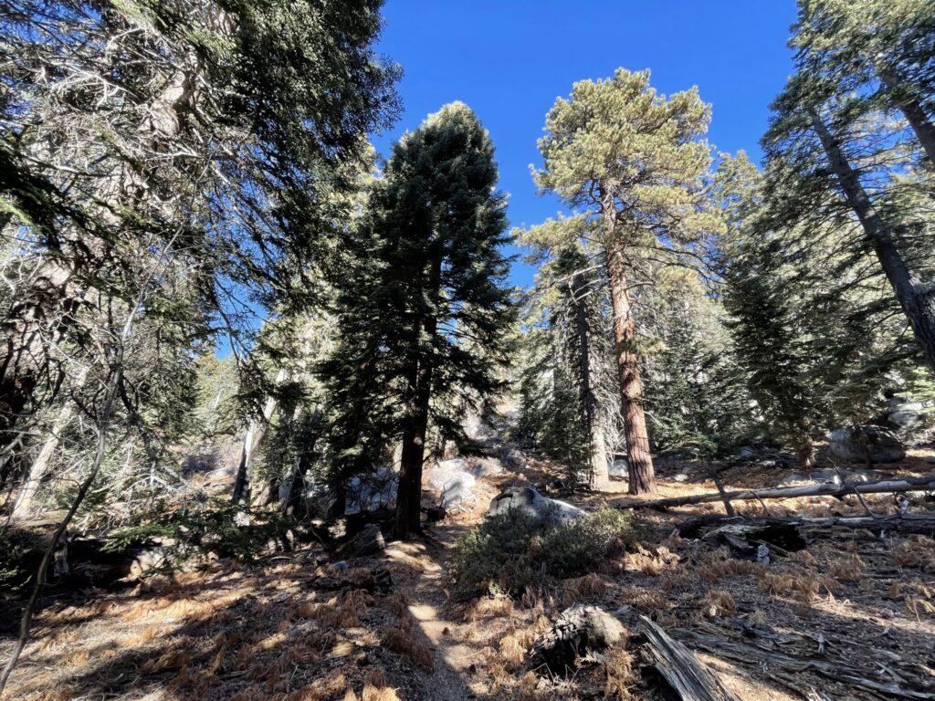
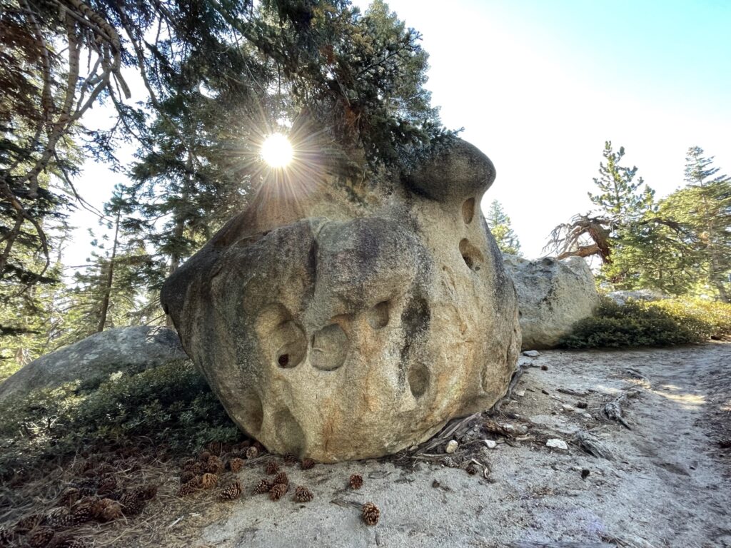
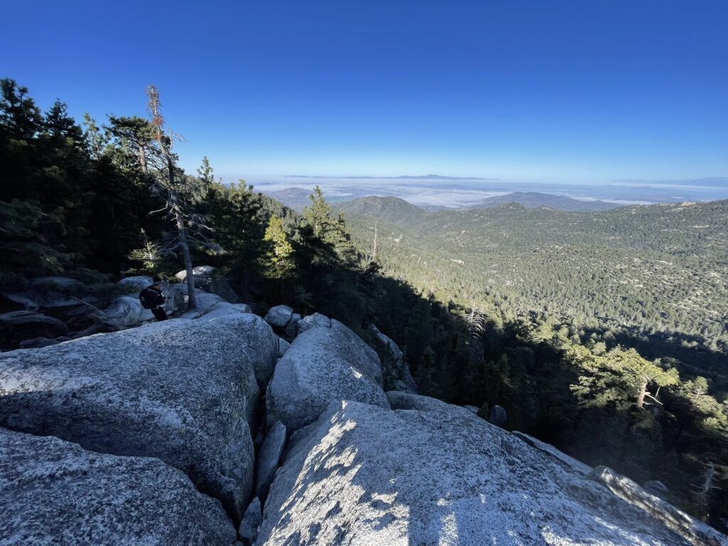
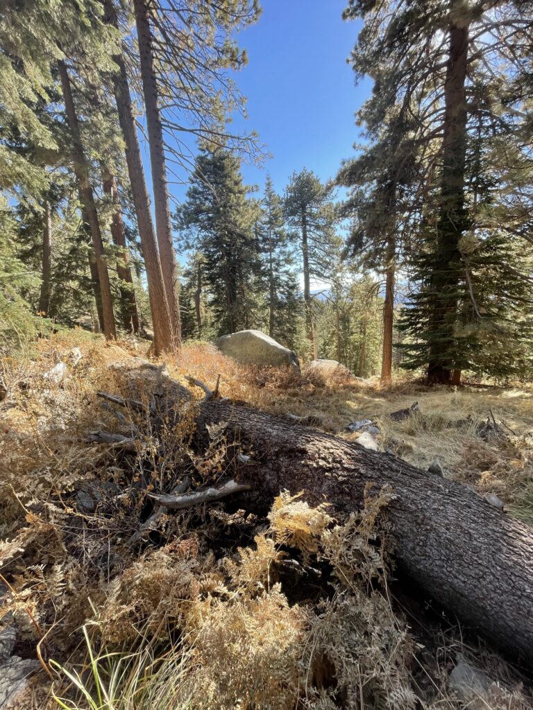
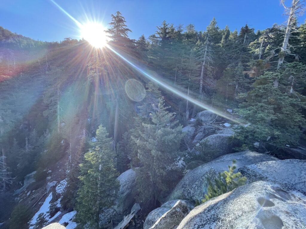
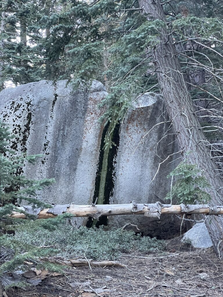
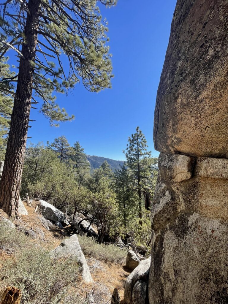
Photos

About the author
Jeremy Wasko has been exploring our public lands for over two decades. With thousands of miles and hundreds of camping trips completed. Through his adventures, he discovered that our public lands are more than just places to camp and recreate. They are cultural and historical sites, sacred places to different peoples, and the very sources of our clean water, air, and other critical resources.
He created Magna Terra to share his knowledge on how to explore and enjoy our public lands, and also how to protect and conserve them for future generations.
Learn more about Jeremy and the founding of Magna Terra here.